MyTopo
Braymer Missouri US Topo Map
Couldn't load pickup availability
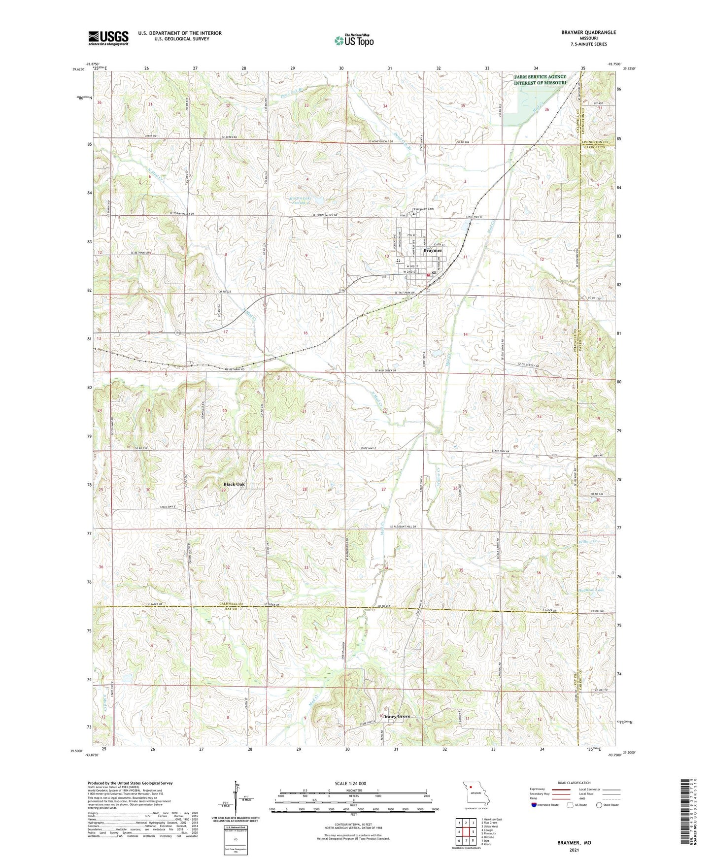
2021 topographic map quadrangle Braymer in the state of Missouri. Scale: 1:24000. Based on the newly updated USGS 7.5' US Topo map series, this map is in the following counties: Caldwell, Ray, Carroll, Livingston. The map contains contour data, water features, and other items you are used to seeing on USGS maps, but also has updated roads and other features. This is the next generation of topographic maps. Printed on high-quality waterproof paper with UV fade-resistant inks.
Quads adjacent to this one:
West: Cowgill
Northwest: Hamilton East
North: Flat Creek
Northeast: Utica West
East: Plymouth
Southeast: Roads
South: Stet
Southwest: Millville
Contains the following named places: Black Oak, Black Oak School, Braymer, Braymer Elementary School, Braymer High School, Braymer Post Office, Braymer Volunteer Fire Department, City of Braymer, Dead Oak Branch, Elk Grove School, Evergreen Cemetery, Granville School, Hughson Lake, Hughson Lake Dam, Martin Lake Section 4, Martin Lake Section 4 Dam, McBee Chapel, North Mud Creek, Pleasant Hill School, Rose Valley School, South Victory School, Tait Memorial Park, Tinney Grove, Tinney Grove School, Toben Valley School, Township of Davis, Willow Creek, Wright Landing Field, ZIP Code: 64624