MyTopo
Holden Missouri US Topo Map
Couldn't load pickup availability
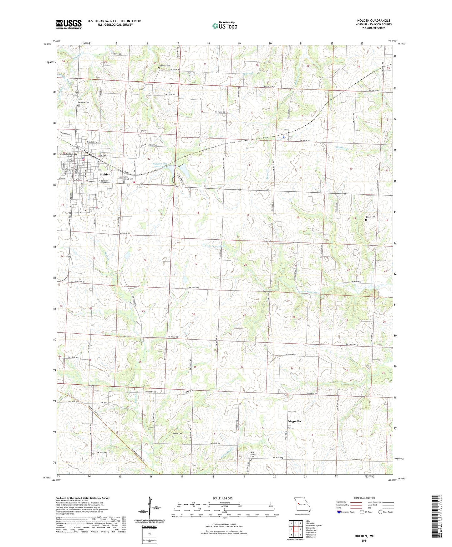
2021 topographic map quadrangle Holden in the state of Missouri. Scale: 1:24000. Based on the newly updated USGS 7.5' US Topo map series, this map is in the following counties: Johnson. The map contains contour data, water features, and other items you are used to seeing on USGS maps, but also has updated roads and other features. This is the next generation of topographic maps. Printed on high-quality waterproof paper with UV fade-resistant inks.
Quads adjacent to this one:
West: Kingsville
Northwest: Elm
North: Pittsville
Northeast: Warrensburg West
East: Centerview
Southeast: Chilhowee
South: Blairstown
Southwest: Quick City
Contains the following named places: Borthick School, City of Holden, Doak School, Doran, East Pin Oak Creek, Elliott Cemetery, F-2 Lake, Fairview Cemetery, Ferguson Cemetery, Flynn School, Holden, Holden Elementary School, Holden Fire Department, Holden High School, Holden Intermediate School, Holden Middle School, Holden Post Office, Holden Reservoir East Dam, Holden Reservoir West Dam, Johnson County Fire Protection District 2 Station 3 Madison, King School, Magnolia, Miller Mausoleum, New Liberty Cemetery, Number 199 Reservoir, Number 203 Reservoir, Outon Cemetery, Pleasant Shade School, Saint Patrick Cemetery, South Fork Blackwater River Watershed Dam F-21, Sunny Point School, Township of Madison, West Pin Oak Creek, White Oak Creek, Wilson Lake Dam, ZIP Code: 64040