MyTopo
Lockwood Missouri US Topo Map
Couldn't load pickup availability
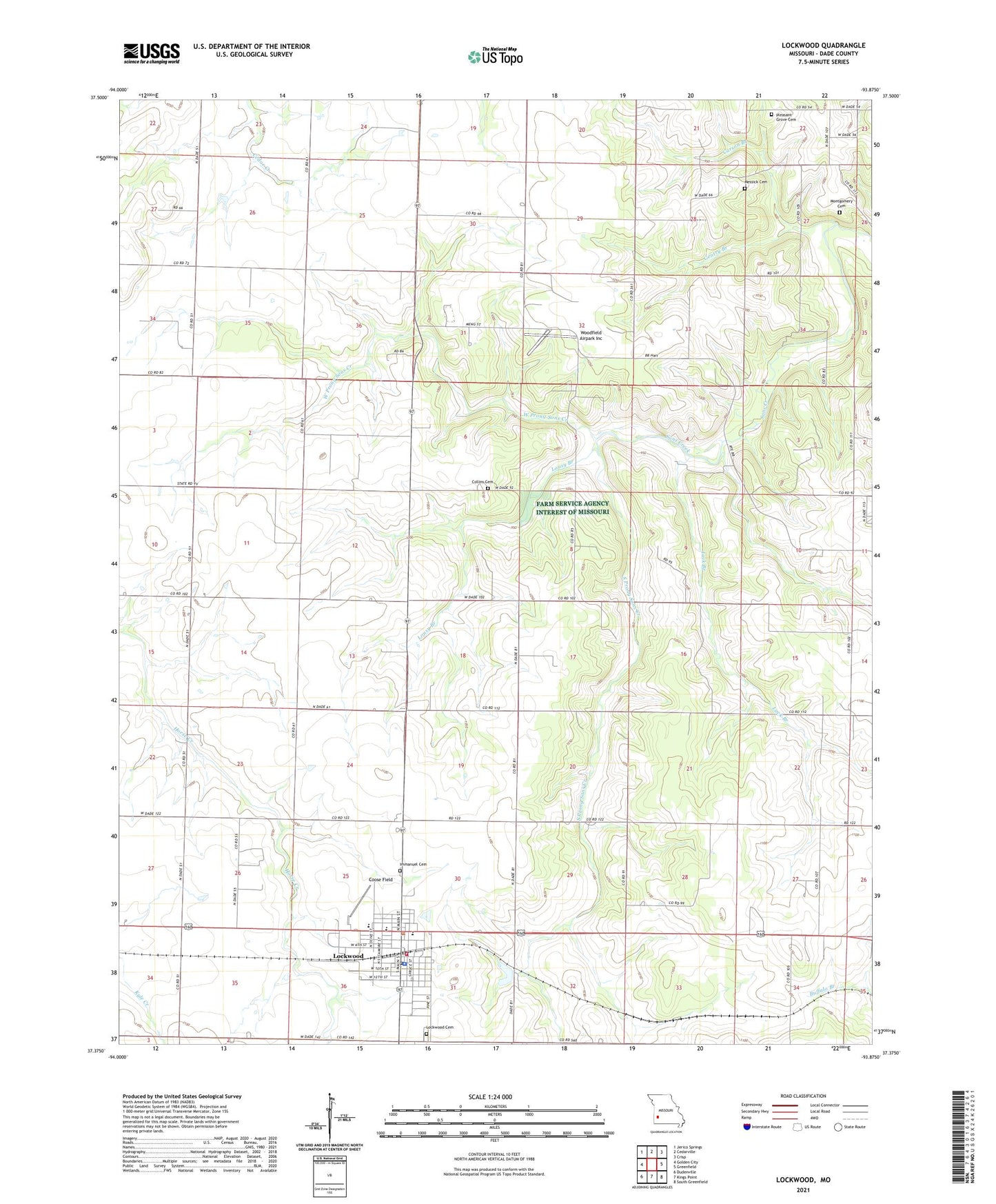
2021 topographic map quadrangle Lockwood in the state of Missouri. Scale: 1:24000. Based on the newly updated USGS 7.5' US Topo map series, this map is in the following counties: Dade. The map contains contour data, water features, and other items you are used to seeing on USGS maps, but also has updated roads and other features. This is the next generation of topographic maps. Printed on high-quality waterproof paper with UV fade-resistant inks.
Quads adjacent to this one:
West: Golden City
Northwest: Jerico Springs
North: Cedarville
Northeast: Crisp
East: Greenfield
Southeast: South Greenfield
South: Kings Point
Southwest: Dudenville
This map covers the same area as the classic USGS quad with code o37093d8.
Contains the following named places: Carson Branch, Chalk Level School, City of Lockwood, Collins Cemetery, Coose Field, Dumbeck, Elm Limb School, Franklin School, Gentry Branch, Gentry School, Grays Valley, Immanuel Cemetery, KXBR-FM (Greenfield), Lack Branch, Liberty School, Lockwood, Lockwood Cemetery, Lockwood Elementary School, Lockwood Fire Department, Lockwood High School, Lockwood Police Department, Lockwood Post Office, Lousy Branch, Messick Cemetery, Montgomery Cemetery, Mount Nebo Church, Number 790 Dam, Oak Dale School, Oak Grove School, Pleasant Grove Church, Rocky Hill School, Shannon Valley School, Sims Point, South Prong Sons Creek, Tabernacle School, Township of Ernest, Township of Lockwood, Union Church, West Prong Sons Creek, Woodfield Airpark Inc, ZIP Code: 65682