MyTopo
Milan West Missouri US Topo Map
Couldn't load pickup availability
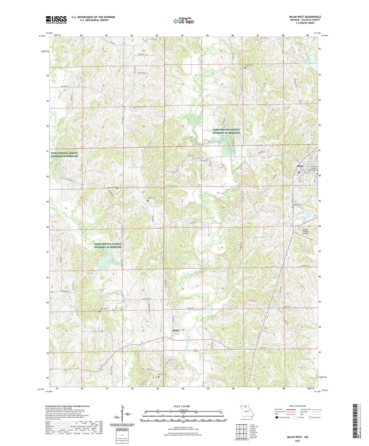
2021 topographic map quadrangle Milan West in the state of Missouri. Scale: 1:24000. Based on the newly updated USGS 7.5' US Topo map series, this map is in the following counties: Sullivan. The map contains contour data, water features, and other items you are used to seeing on USGS maps, but also has updated roads and other features. This is the next generation of topographic maps. Printed on high-quality waterproof paper with UV fade-resistant inks.
Quads adjacent to this one:
West: Osgood
Northwest: Harris
North: Pollock SW
Northeast: Pollock
East: Milan East
Southeast: Milan SE
South: Browning
Southwest: Lindley
Contains the following named places: Bogard-Cowgill Airport, Booth Lake, Booth Lake Dam, Detwilder Lake Dam, Detwiller Lake, Dickson Lake Dam, Eddys Lake Dam, Eggleston School, Forest Grove Park, Glaze Cemetery, Gose School, Henry Cemetery, Ischan Lake Dam, Lovell Cemetery, McClaskey School, Milan, Moggart School, Mount Vernon School, Pickering Lake Dam, Reger, Shatto Cemetery, Shatto Dam, Shatto Lake, Sterling School, Sullivan Church, Sullivan County Memorial Hospital, Wilhite Cemetery, Wilhite School, ZIP Code: 63556