MyTopo
Oglesville Missouri US Topo Map
Couldn't load pickup availability
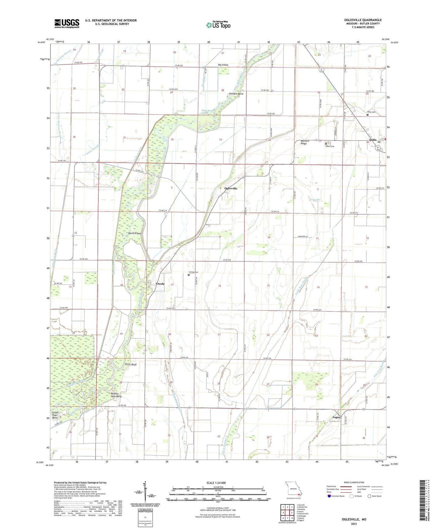
2021 topographic map quadrangle Oglesville in the state of Missouri. Scale: 1:24000. Based on the newly updated USGS 7.5' US Topo map series, this map is in the following counties: Butler. The map contains contour data, water features, and other items you are used to seeing on USGS maps, but also has updated roads and other features. This is the next generation of topographic maps. Printed on high-quality waterproof paper with UV fade-resistant inks.
Quads adjacent to this one:
West: Vastus
Northwest: Harviell
North: Hanleyville
Northeast: Broseley
East: Glennonville
Southeast: Piggott
South: Pollard
Southwest: McDougal
Contains the following named places: Big Elm Eddy, Black River Ditch, Buffalo Hole Bend, Cache River Ditch, Caliph Pearl Bend, Calvary Church, Caney Slough, Carola, Carola Cemetery, Carola School, City of Qulin, Dan River, Devils Elbow, Duck Roost Cutoff, Duschs Store, Fagus, Fagus School, Gillis Bluff, Gillis Bluff School, Kelly Cemetery, Long Lake, Melville Ridge, Melville School, Menorkenut Slough Number 16, Oglesville, Platanus, Qulin Cemetery, Qulin Fire Department, Qulin Post Office, Qulin School, Shotgun Bend, Swan Pond, Swan Pond Ditch, Township of Gillis Bluff, Whitlow, Whitlow Census Designated Place, ZIP Code: 63961