MyTopo
Hanleyville Missouri US Topo Map
Couldn't load pickup availability
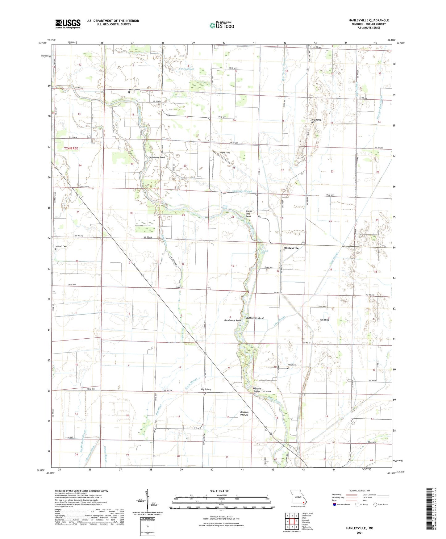
2021 topographic map quadrangle Hanleyville in the state of Missouri. Scale: 1:24000. Based on the newly updated USGS 7.5' US Topo map series, this map is in the following counties: Butler. The map contains contour data, water features, and other items you are used to seeing on USGS maps, but also has updated roads and other features. This is the next generation of topographic maps. Printed on high-quality waterproof paper with UV fade-resistant inks.
Quads adjacent to this one:
West: Harviell
Northwest: Poplar Bluff
North: Rombauer
Northeast: Fisk
East: Broseley
Southeast: Glennonville
South: Oglesville
Southwest: Vastus
This map covers the same area as the classic USGS quad with code o36090f3.
Contains the following named places: Ackerman Ditch, Ascraft Church, Ash Hills, Ashcraft Cemetery, Ashcraft School, Bethlehem Temple Church, Big Island, Big Island Church, Big Island School, Black River Church, Blue Spring Slough, Brown Field Airport, Buttermilk Bend, Caledonia Hills, Caledonia School, Caney Slough, Catherine Slough, Church of God, Colvin School, Cross Slough, Deadmans Bend, Ditch Number 14, Doolens Pasture, Giles Church, Grape Vine Bend, Hammons Bend, Hanleyville, Hargove Bridge, Hayes Field, Hillis Cemetery, Hoggs Eddy, Jackson Bar, KWOC-AM (Poplar Bluff), KWOC-FM (Poplar Bluff), Lake Slough, Landreth Church, Liberty Church, Liberty School, Live Oak School, Lone Beach School, Marshall Eddy, Mayberry, Morning Star Church, Morocco, Morocco Cemetery, Morocco School, Panther Run Slough, Providence Church, Providence School, Stillcamp School, Tabernacle of Charity Church, ZIP Code: 63932


