MyTopo
Broseley Missouri US Topo Map
Couldn't load pickup availability
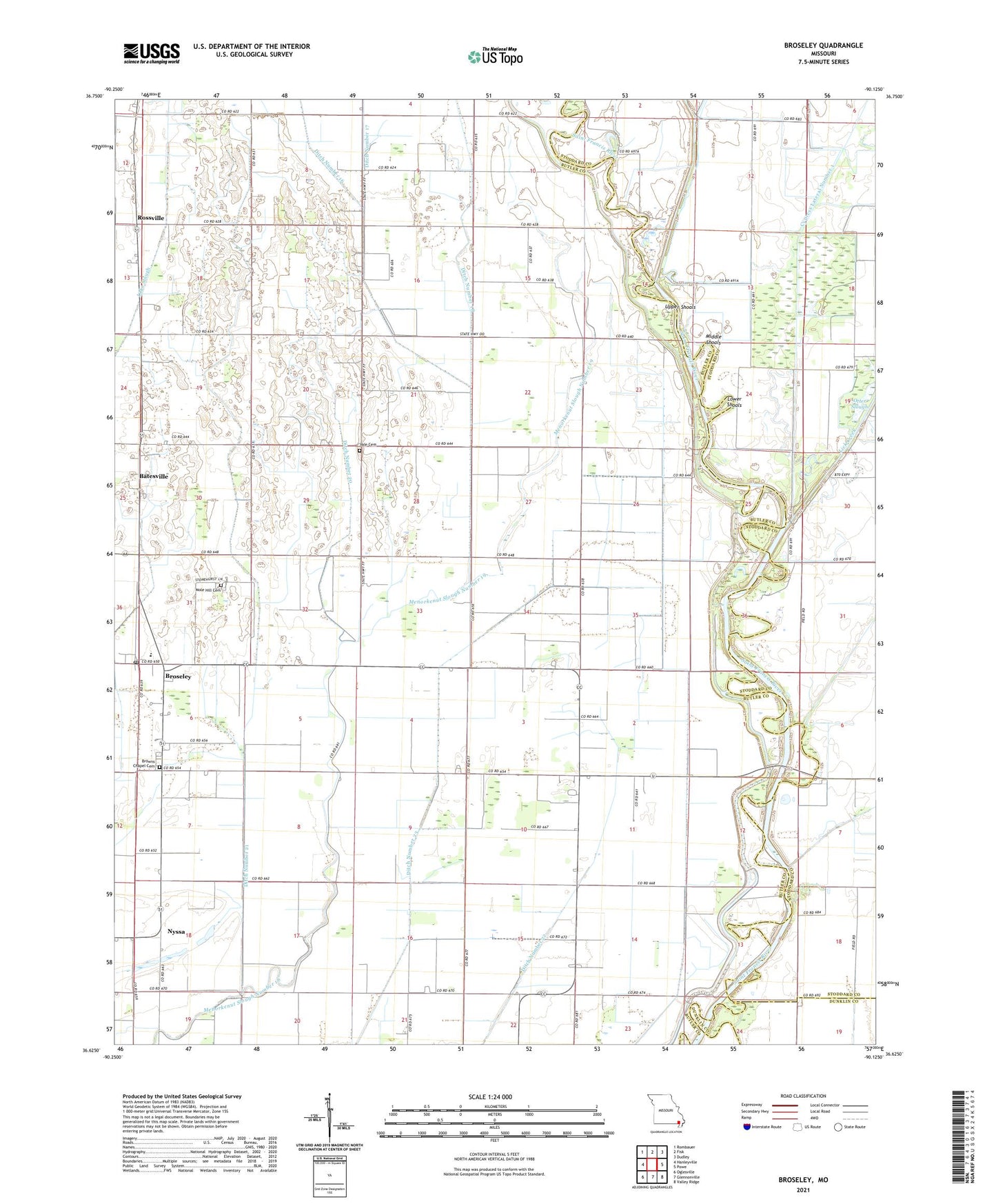
2021 topographic map quadrangle Broseley in the state of Missouri. Scale: 1:24000. Based on the newly updated USGS 7.5' US Topo map series, this map is in the following counties: Butler, Stoddard, Dunklin. The map contains contour data, water features, and other items you are used to seeing on USGS maps, but also has updated roads and other features. This is the next generation of topographic maps. Printed on high-quality waterproof paper with UV fade-resistant inks.
Quads adjacent to this one:
West: Hanleyville
Northwest: Rombauer
North: Fisk
Northeast: Dudley
East: Powe
Southeast: Valley Ridge
South: Glennonville
Southwest: Oglesville
This map covers the same area as the classic USGS quad with code o36090f2.
Contains the following named places: Batesville, Broseley, Broseley Census Designated Place, Broseley Post Office, Browns Chapel, Browns Chapel Cemetery, Butler County Fire Protection District Twin Rivers Station, Depoyster Church, Depoyster School, Ditch Number 18, Ditch Number 20, Ditch Number 21, Ditch Number 22, Ditch Number 23, Elk Church, Elk School, Hicoria Spur, Higginbothams Ferry, Lick Creek, Little Dump Church, Little Vine Church, Lone Oak Church, Lower Shoals, Marshall, Menorkanut, Menorkenut Slough Number 19, Middle Shoals, Nyssa, Pleasant Hill Church, Pleasant Hill School, Quercus, River School, Rossville, Township of Ash Hill, Upper Shoals, Vale Cemetery, Webb Church, Whittles Ferry, Wilcox School