MyTopo
Badger Creek Montana US Topo Map
Couldn't load pickup availability
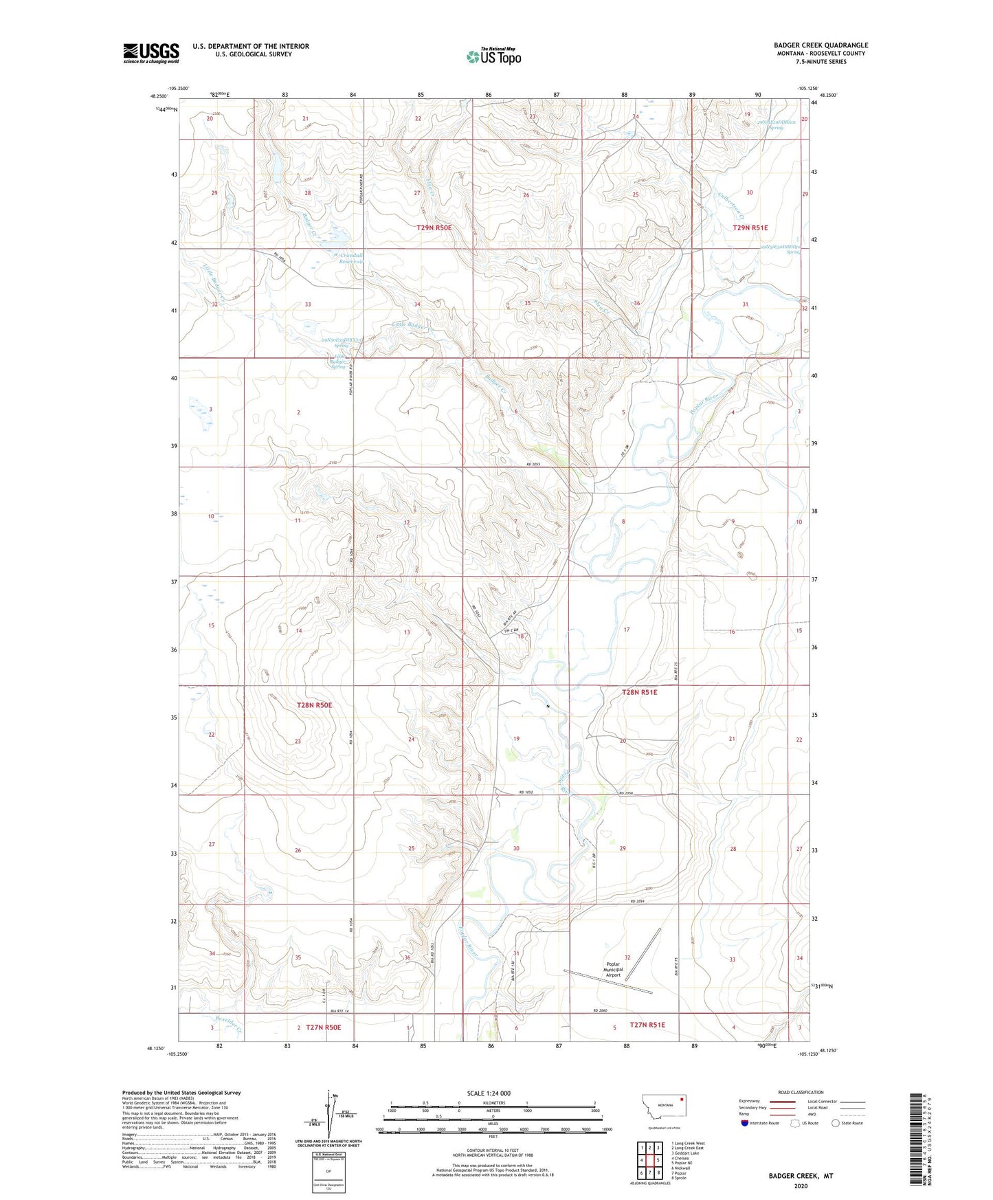
2020 topographic map quadrangle Badger Creek in the state of Montana. Scale: 1:24000. Based on the newly updated USGS 7.5' US Topo map series, this map is in the following counties: Roosevelt. The map contains contour data, water features, and other items you are used to seeing on USGS maps, but also has updated roads and other features. This is the next generation of topographic maps. Printed on high-quality waterproof paper with UV fade-resistant inks.
Quads adjacent to this one:
West: Chelsea
Northwest: Long Creek West
North: Long Creek East
Northeast: Geddart Lake
East: Poplar NE
Southeast: Sprole
South: Poplar
Southwest: Nickwall
Contains the following named places: 27N50E02BB__01 Well, 27N50E03AA__01 Well, 27N50E03AD__01 Well, 27N50E03AD__02 Well, 28N50E02AD__01 Well, 28N50E12AB__01 Well, 28N50E25DDDA01 Well, 28N50E26DC__01 Well, 28N50E34DCAC01 Well, 28N50E35CD__01 Well, 28N50E36AAAA01 Well, 28N50E36AAAA02 Well, 28N50E36DD__01 Well, 28N50E36DDCA01 Well, 28N51E04CCCD01 Well, 28N51E08AAAC01 Well, 28N51E08ADDA01 Well, 28N51E08BACC01 Well, 28N51E08BACC02 Well, 28N51E08BBDA01 Well, 28N51E08BBDB01 Well, 28N51E08BDBA01 Well, 28N51E08BDBA02 Well, 28N51E08CCBB01 Well, 28N51E08CCBC01 Well, 28N51E08CCBC02 Well, 28N51E08DDDB01 Well, 28N51E09BCBB01 Well, 28N51E09CCDD01 Well, 28N51E09CDBB01 Well, 28N51E09DCCC01 Well, 28N51E16DBCB01 Well, 28N51E17AABA01 Well, 28N51E17AABB01 Well, 28N51E17ABDC01 Well, 28N51E17ABDC02 Well, 28N51E17ABDD01 Well, 28N51E17ABDD02 Well, 28N51E17ADAD01 Well, 28N51E17DADA01 Well, 28N51E17DDAD01 Well, 28N51E18ABDC01 Well, 28N51E19AB__01 Well, 28N51E21BDBC01 Well, 28N51E22BBBB01 Well, 28N51E22CBCB01 Well, 28N51E22CBCB02 Well, 28N51E27BBBB01 Well, 28N51E29BACA01 Well, 28N51E29CACB01 Well, 28N51E32CCCB01 Well, 28N51E32DCCC01 Well, 28N51E33BBBB01 Well, 28N51E33BBBC01 Well, 28N51E33BBBC02 Well, 28N51E33CBAA01 Well, 28N51E33DDCC01 Well, 28N51E33DDCC02 Well, 28N51E33DDCC03 Well, 28N51E33DDCC04 Well, 28N51E33DDCC05 Well, 29N50E33DDCC01 Spring, 29N51E19DCAC01 Well, 29N51E19DDBA01 Spring, 29N51E30DDDD01 Spring, 29N51E31ABDD01 Well, 29N51E31BDBA01 Well, 29N51E31CABB01 Well, 29N51E31DBAD01 Well, 29N51E31DBDD01 Well, 59255, Badger Creek, Barney Rubbel Dam, Clark Pond Number 2 Dam, Crandall Reservoir, Crandall Reservoir Dam, Culbertson Creek, Flea Creek, Little Badger Creek, Little Badger Spring, Poplar Municipal Airport, Structure Number 137 Dam