MyTopo
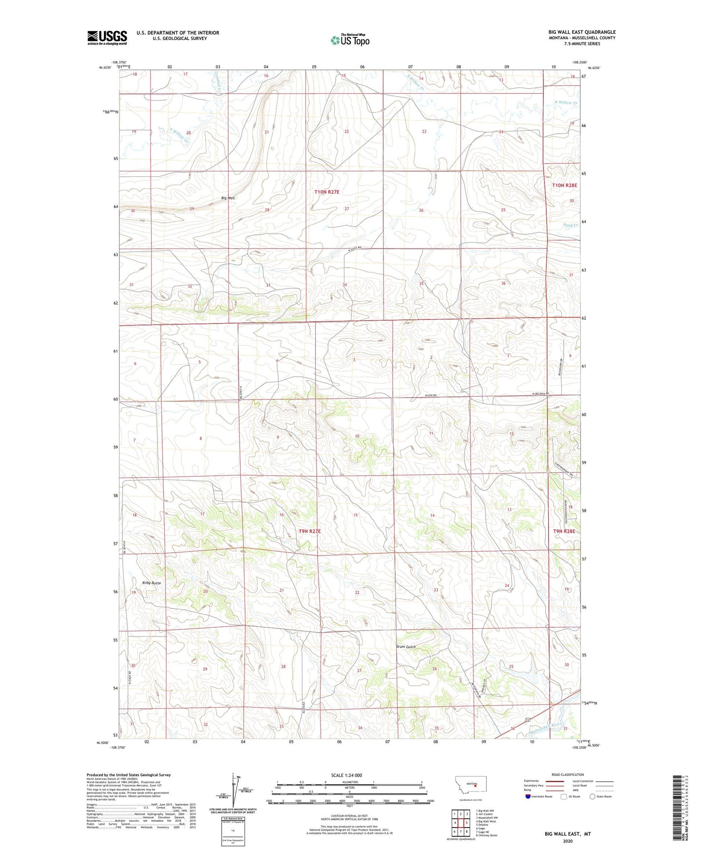
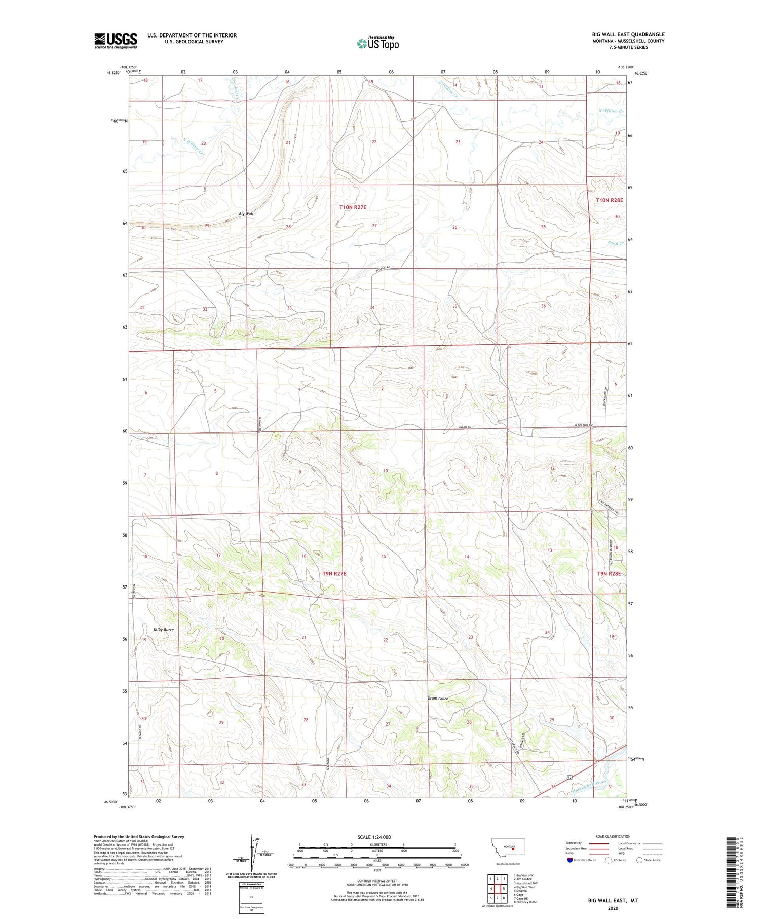
Big Wall East Montana US Topo Map
Couldn't load pickup availability
2020 topographic map quadrangle Big Wall East in the state of Montana. Scale: 1:24000. Based on the newly updated USGS 7.5' US Topo map series, this map is in the following counties: Musselshell. The map contains contour data, water features, and other items you are used to seeing on USGS maps, but also has updated roads and other features. This is the next generation of topographic maps. Printed on high-quality waterproof paper with UV fade-resistant inks.
Quads adjacent to this one:
West: Big Wall West
Northwest: Big Wall NW
North: Jim Coulee
Northeast: Musselshell NW
East: Delphia
Southeast: Chimney Butte
South: Gage NE
Southwest: Gage
Contains the following named places: 09N26E30DCB_01 Well, 09N27E02DACD01 Well, 09N27E09ACBC01 Well, 09N27E10BAA_01 Well, 09N27E16ACCC01 Well, 09N27E35DCBA01 Well, 14N27E29DBB_01 Well, Big Wall, Crooked Creek, Drum Gulch, Kilby Butte, Kilby Butte Colony