MyTopo
Musselshell NW Montana US Topo Map
Couldn't load pickup availability
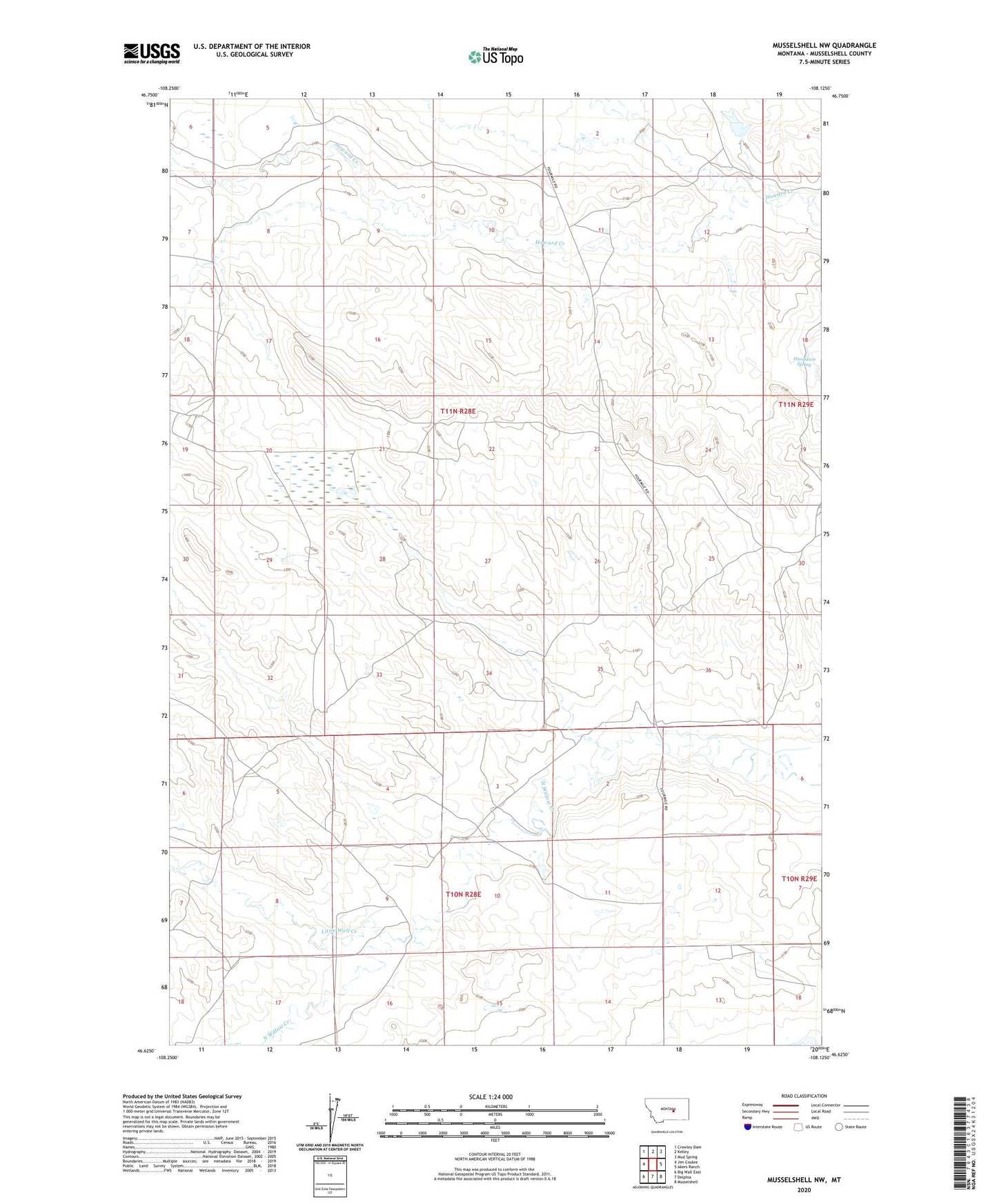
2024 topographic map quadrangle Musselshell NW in the state of Montana. Scale: 1:24000. Based on the newly updated USGS 7.5' US Topo map series, this map is in the following counties: Musselshell. The map contains contour data, water features, and other items you are used to seeing on USGS maps, but also has updated roads and other features. This is the next generation of topographic maps. Printed on high-quality waterproof paper with UV fade-resistant inks.
Quads adjacent to this one:
West: Jim Coulee
Northwest: Crowley Dam
North: Kelley
Northeast: Mud Spring
East: Akers Ranch
Southeast: Musselshell
South: Delphia
Southwest: Big Wall East
This map covers the same area as the classic USGS quad with code o46108f2.
Contains the following named places: Gofara Number 6 Dam, Gofara Number 7 Dam, Gofara Number 8 Dam, Haroldson Spring, Little Wall Creek