MyTopo
Black Calf Reservoir Montana US Topo Map
Couldn't load pickup availability
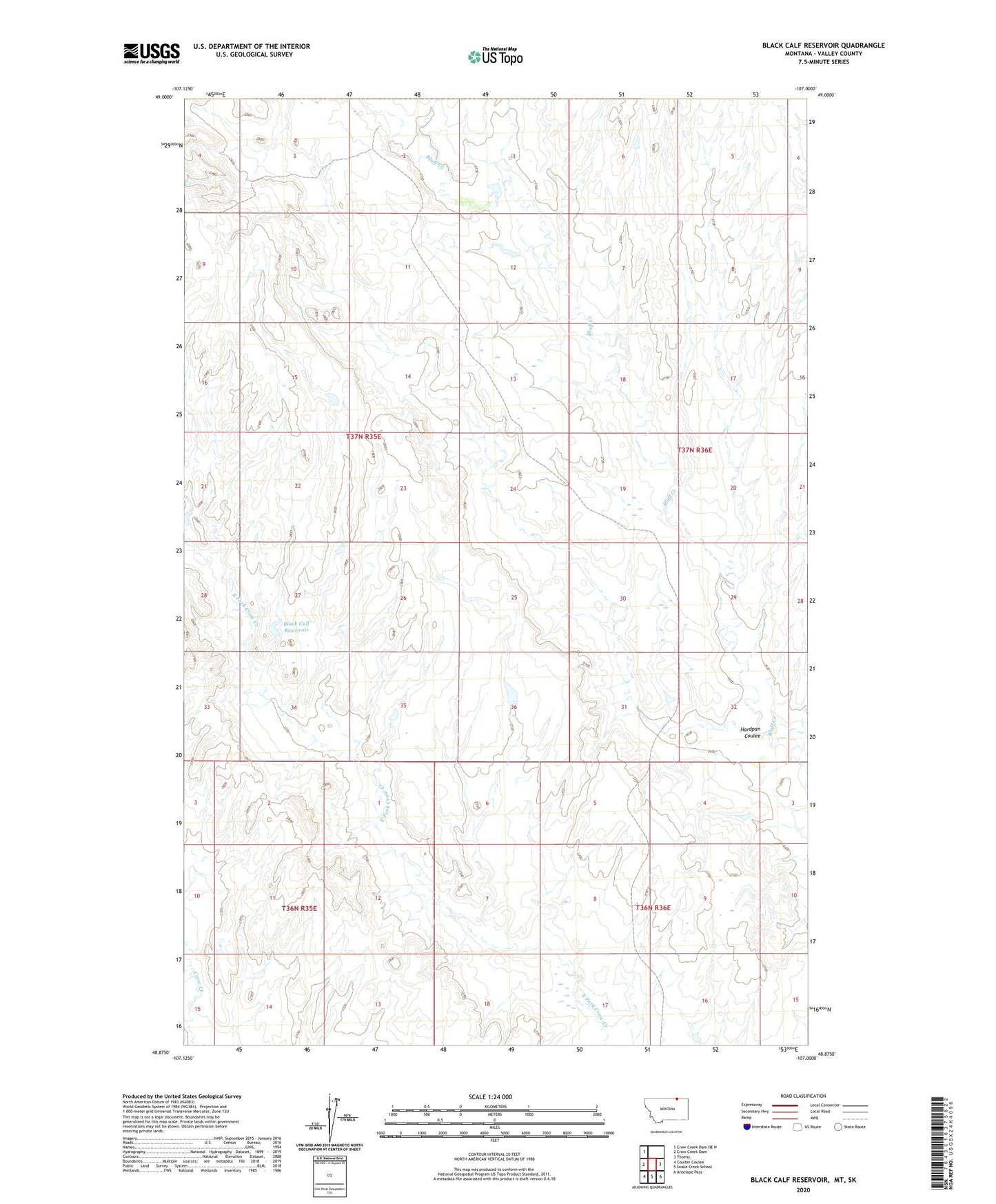
2024 topographic map quadrangle Black Calf Reservoir in the state of Montana. Scale: 1:24000. Based on the newly updated USGS 7.5' US Topo map series, this map is in the following counties: Valley. The map contains contour data, water features, and other items you are used to seeing on USGS maps, but also has updated roads and other features. This is the next generation of topographic maps. Printed on high-quality waterproof paper with UV fade-resistant inks.
Quads adjacent to this one:
West: Crow Creek Dam
Northwest: Crow Creek Dam OE N
East: Thoeny
Southeast: Antelope Pass
South: Snake Creek School
Southwest: Coulter Coulee
This map covers the same area as the classic USGS quad with code o48107h1.
Contains the following named places: Beil Dam, Black Calf Reservoir, Bluff Creek School, Hardpan Coulee