MyTopo
Blackfoot School Montana US Topo Map
Couldn't load pickup availability
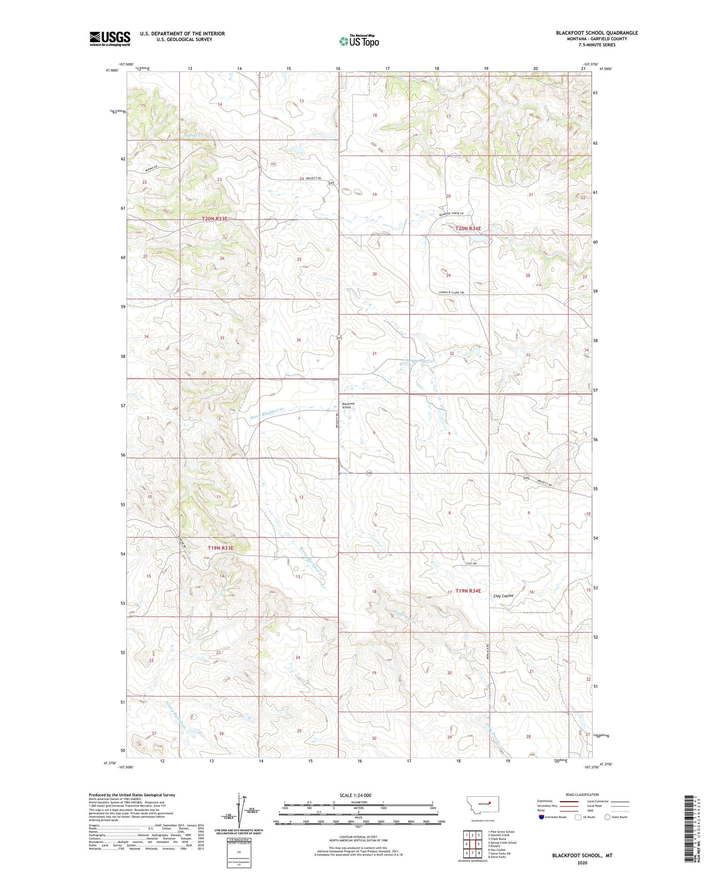
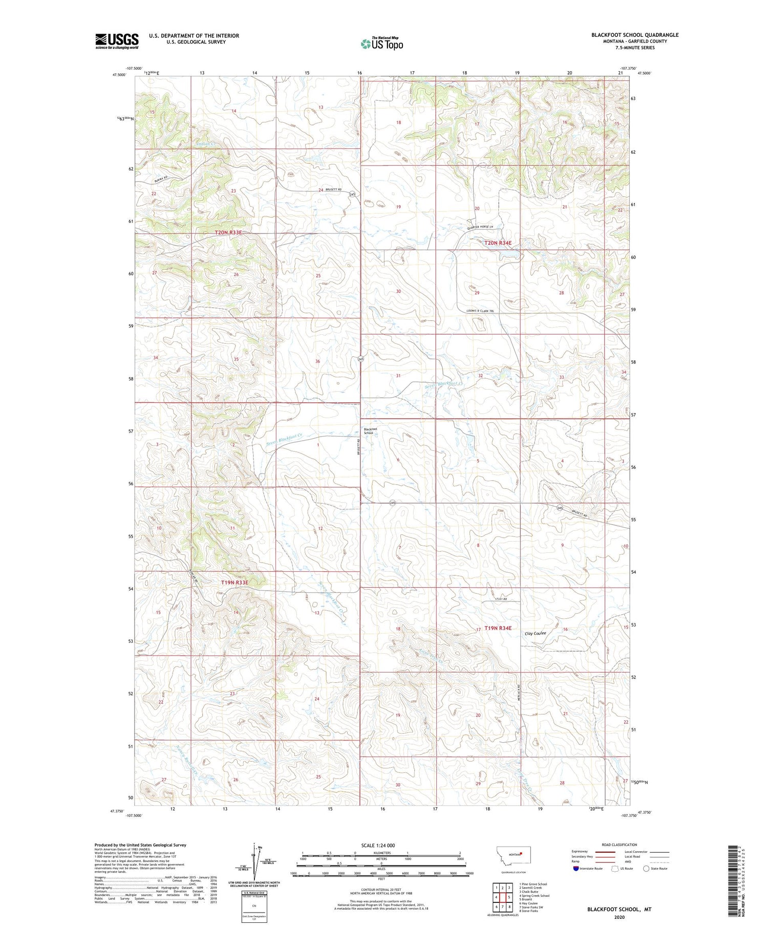
2020 topographic map quadrangle Blackfoot School in the state of Montana. Scale: 1:24000. Based on the newly updated USGS 7.5' US Topo map series, this map is in the following counties: Garfield. The map contains contour data, water features, and other items you are used to seeing on USGS maps, but also has updated roads and other features. This is the next generation of topographic maps. Printed on high-quality waterproof paper with UV fade-resistant inks.
Quads adjacent to this one:
West: Spring Creek School
Northwest: Pine Grove School
North: Sawmill Creek
Northeast: Chalk Butte
East: Brusett
Southeast: Steve Forks
South: Steve Forks SW
Southwest: Hay Coulee
Contains the following named places: 19N34E18ACC_01 Well, 20N33E26BA__01 Well, 20N34E18CC__01 Well, 20N34E32AD__01 Well, 20N34E34ADCC01 Well, Aberta Dam, Antrim Post Office, Blackfoot, Blackfoot Church, Blackfoot School, Clark Dam, D Loomis Number 3 Dam, Freemen Ranch, Loomis D Number 1 Dam, Ralph Clark Number 1 Dam