MyTopo
Blink Springs Montana US Topo Map
Couldn't load pickup availability
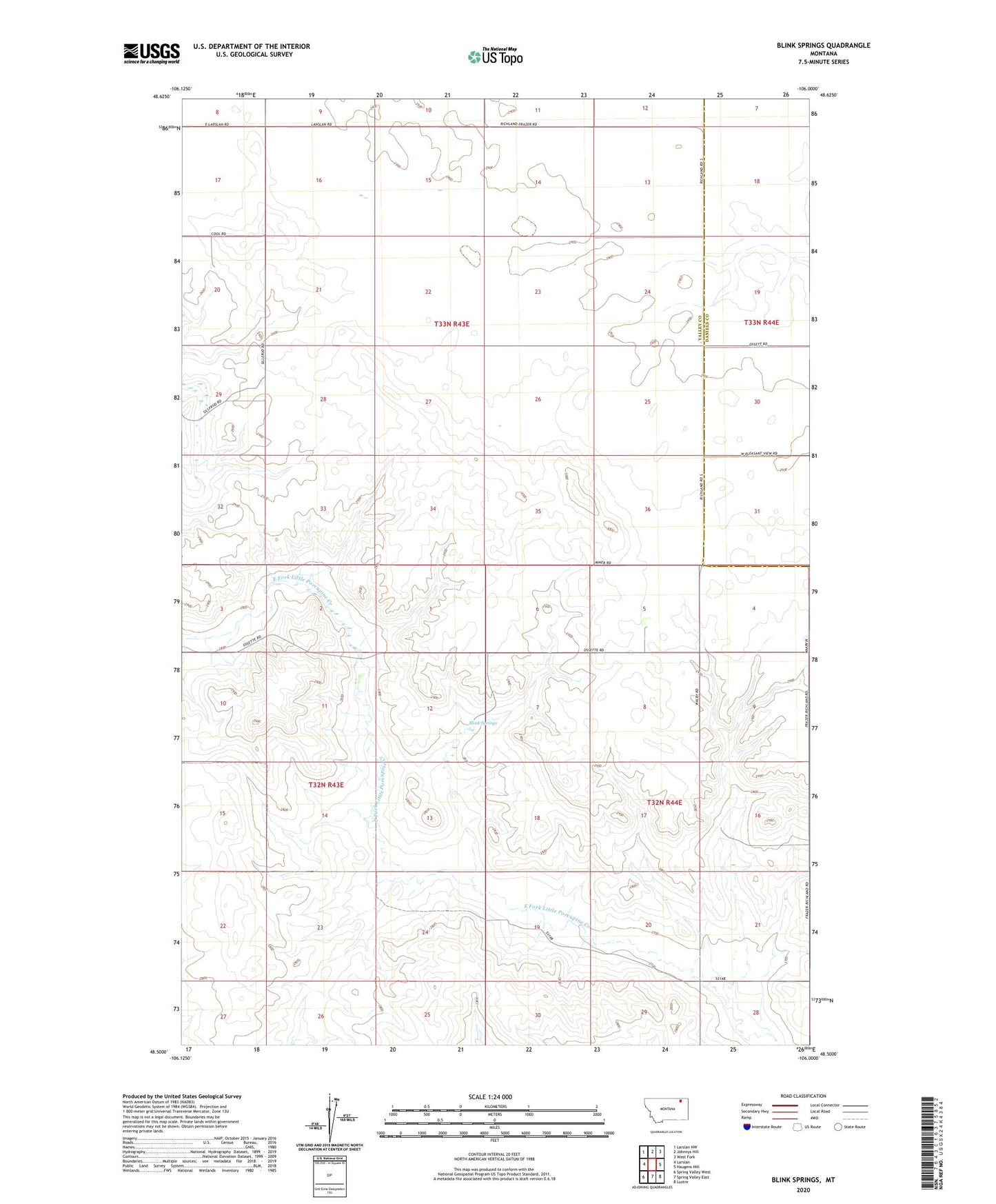
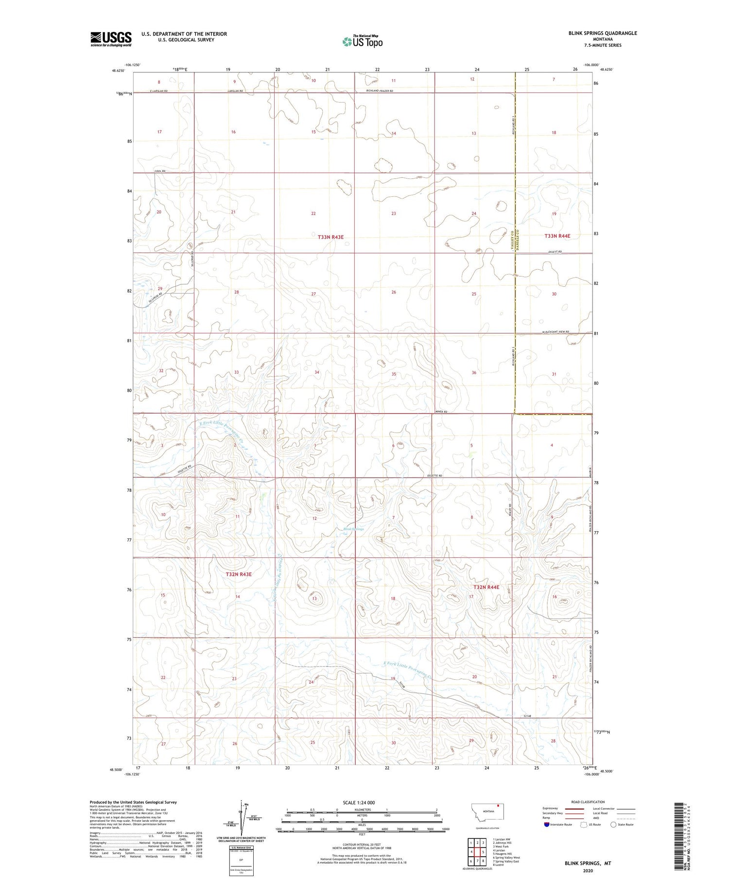
2020 topographic map quadrangle Blink Springs in the state of Montana. Scale: 1:24000. Based on the newly updated USGS 7.5' US Topo map series, this map is in the following counties: Valley, Daniels. The map contains contour data, water features, and other items you are used to seeing on USGS maps, but also has updated roads and other features. This is the next generation of topographic maps. Printed on high-quality waterproof paper with UV fade-resistant inks.
Quads adjacent to this one:
West: Larslan
Northwest: Larslan NW
North: Johnnys Hill
Northeast: West Fork
East: Haugens Hill
Southeast: Lustre
South: Spring Valley East
Southwest: Spring Valley West
Contains the following named places: 32N44E04CBBD01 Well, 32N44E05DBCC01 Well, 32N44E06ADDB01 Well, 33N43E08CDCC01 Well, 33N43E11CDBD01 Well, 33N43E16CA__01 Well, 33N43E17DAAC01 Well, 33N43E25ADAD01 Well, 33N43E35DDDD02 Well, 33N44E30ABBB01 Well, Blink Springs, Ossette, Ossette Post Office, Ossette School, Our Saviors Church