MyTopo
Johnnys Hill Montana US Topo Map
Couldn't load pickup availability
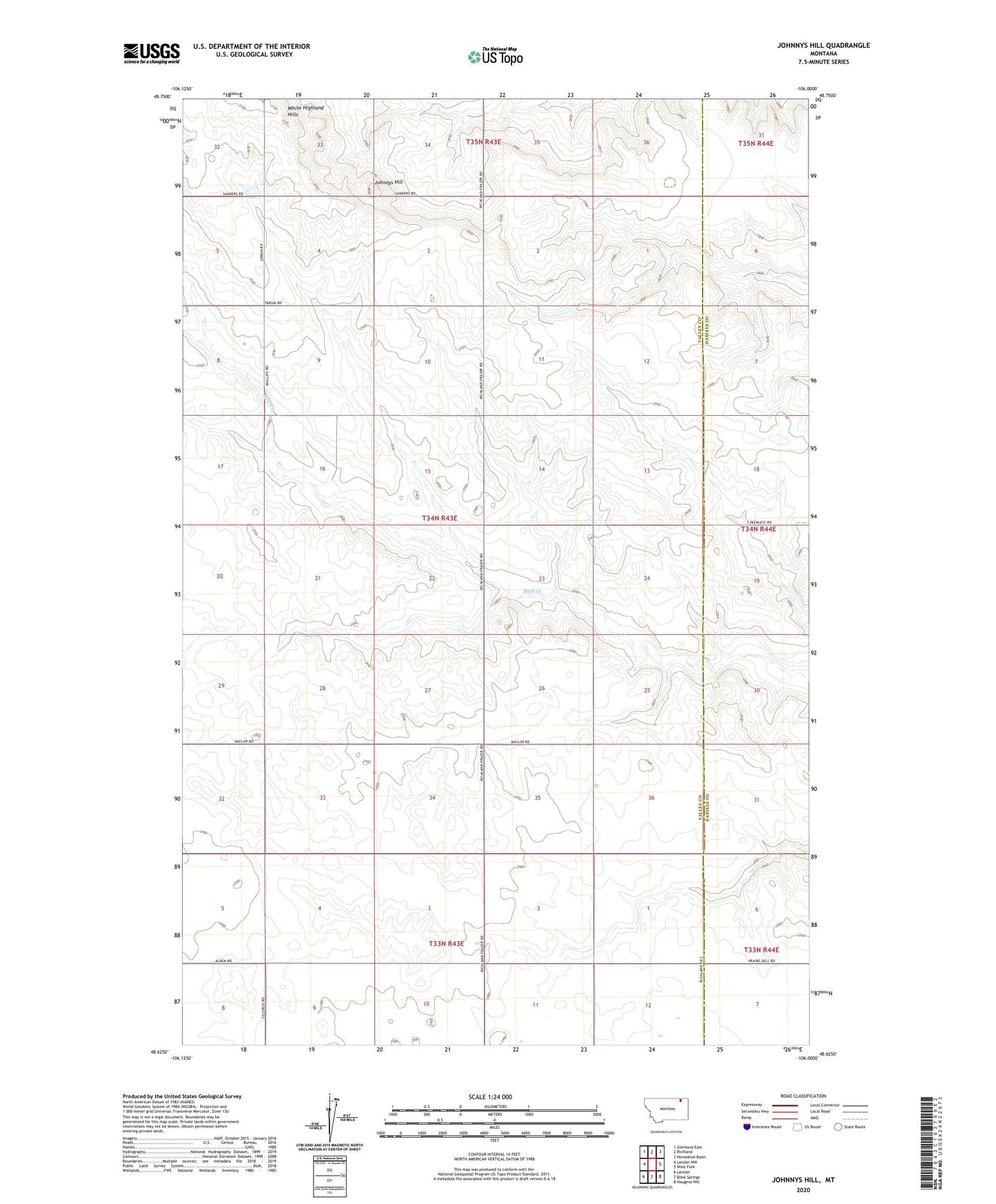
2024 topographic map quadrangle Johnnys Hill in the state of Montana. Scale: 1:24000. Based on the newly updated USGS 7.5' US Topo map series, this map is in the following counties: Valley, Daniels. The map contains contour data, water features, and other items you are used to seeing on USGS maps, but also has updated roads and other features. This is the next generation of topographic maps. Printed on high-quality waterproof paper with UV fade-resistant inks.
Quads adjacent to this one:
West: Larslan NW
Northwest: Glentana East
North: Richland
Northeast: Horseshoe Basin
East: West Fork
Southeast: Haugens Hill
South: Blink Springs
Southwest: Larslan
This map covers the same area as the classic USGS quad with code o48106f1.
Contains the following named places: 33N44E06CCCC01 Well, 37N43E32CADB01 Well, Ghost Number 5 Dam, Highland School, Johnnys Hill, Kleppen Mine, Rosedale School, Sioux City Mine, White Highland Hills