MyTopo
Spring Valley East Montana US Topo Map
Couldn't load pickup availability
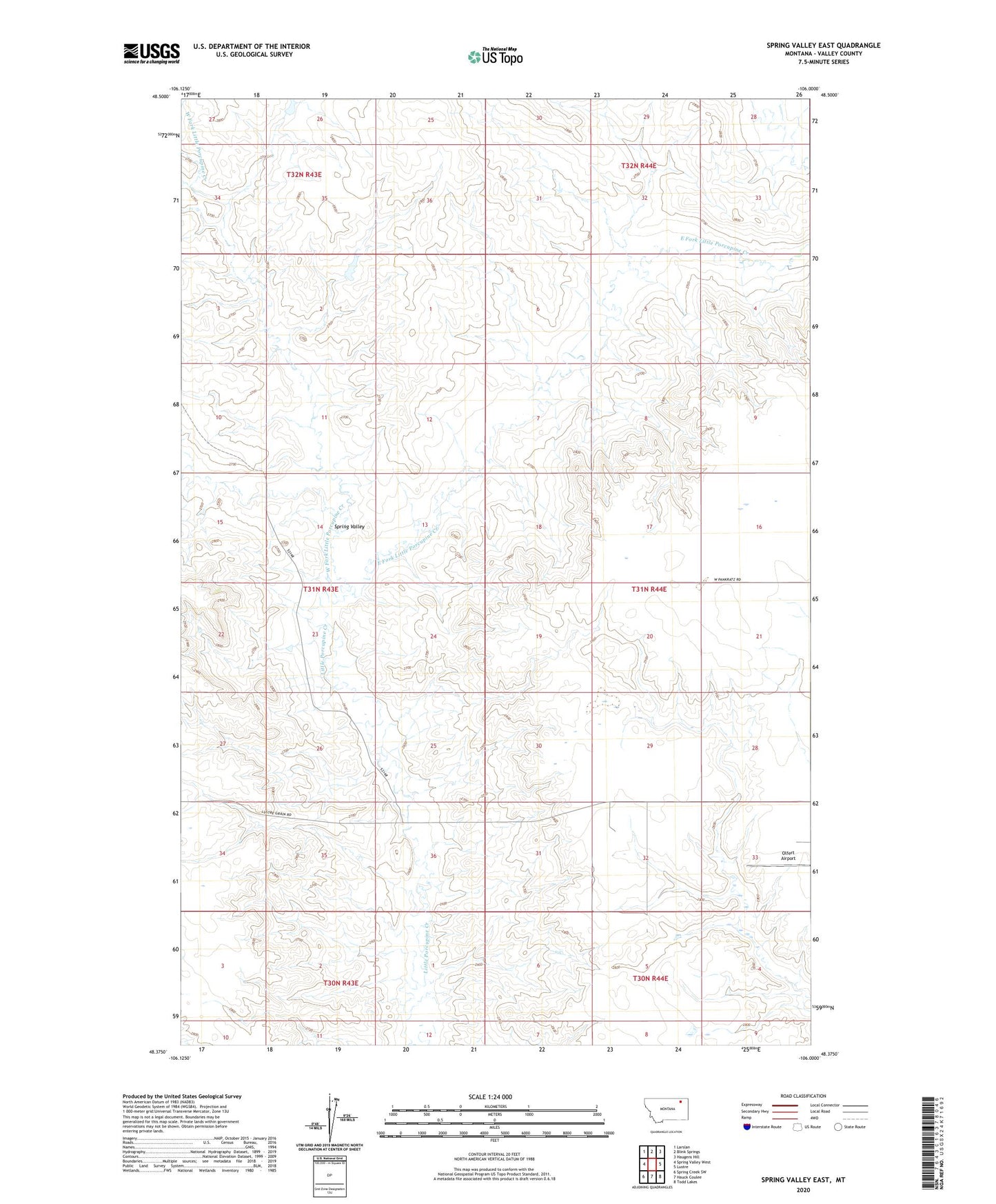
2024 topographic map quadrangle Spring Valley East in the state of Montana. Scale: 1:24000. Based on the newly updated USGS 7.5' US Topo map series, this map is in the following counties: Valley. The map contains contour data, water features, and other items you are used to seeing on USGS maps, but also has updated roads and other features. This is the next generation of topographic maps. Printed on high-quality waterproof paper with UV fade-resistant inks.
Quads adjacent to this one:
West: Spring Valley West
Northwest: Larslan
North: Blink Springs
Northeast: Haugens Hill
East: Lustre
Southeast: Todd Lakes
South: Hauck Coulee
Southwest: Spring Creek SW
This map covers the same area as the classic USGS quad with code o48106d1.
Contains the following named places: 31N44E04AAAC01 Well, 31N44E17DDAA01 Well, 31N44E20BDBD01 Well, 31N44E28AAAB01 Well, 31N44E28AAAC01 Well, 31N44E33DABA01 Well, 31N44E33DADA01 Well, East Fork Little Porcupine Creek, Ghost Number 3 Dam, Olfert Airport, Spring Valley, West Fork Little Porcupine Creek