MyTopo
Buffalo Lake Montana US Topo Map
Couldn't load pickup availability
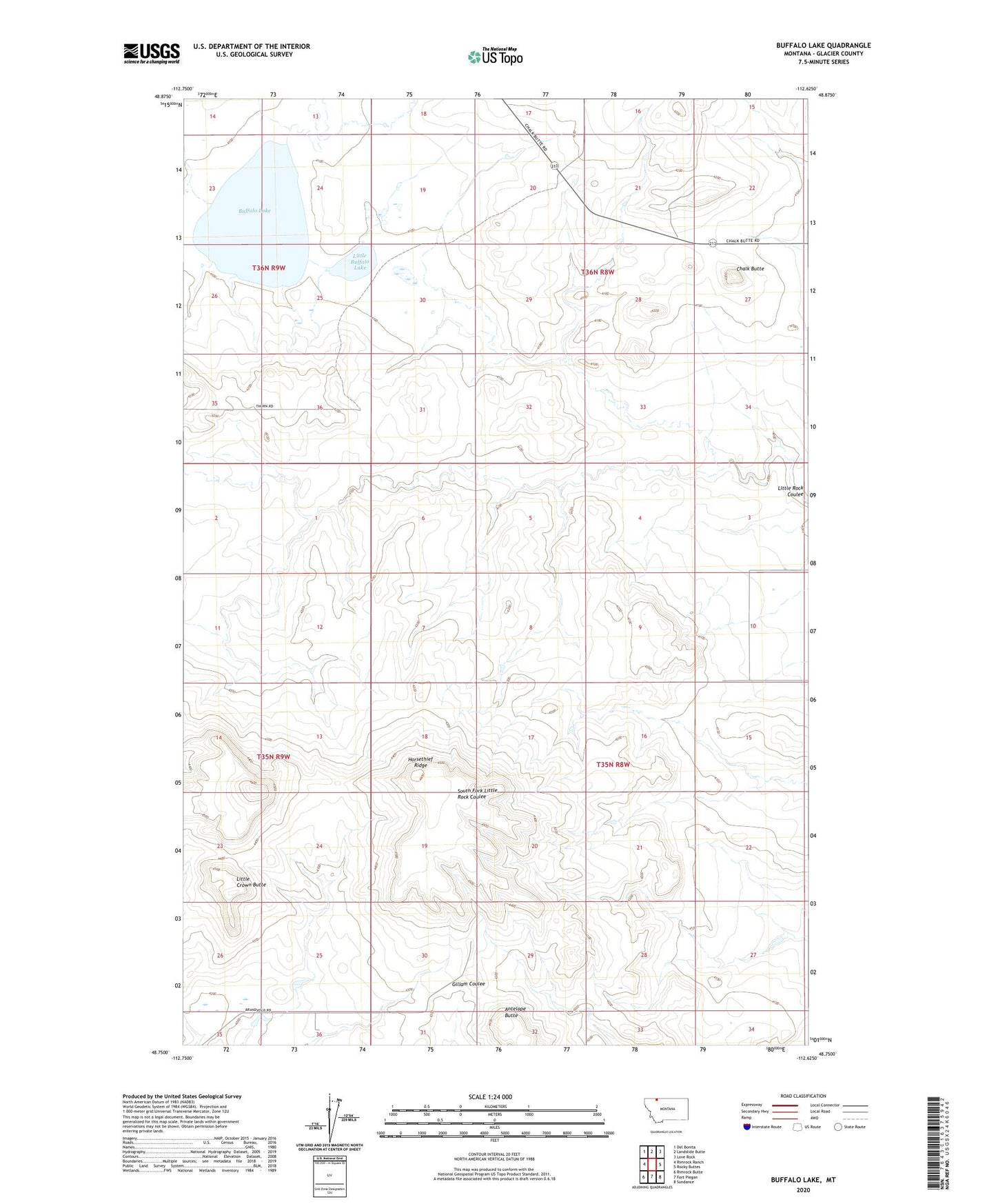
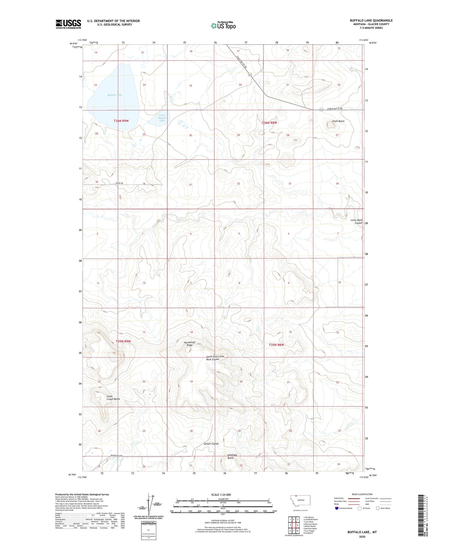
2020 topographic map quadrangle Buffalo Lake in the state of Montana. Scale: 1:24000. Based on the newly updated USGS 7.5' US Topo map series, this map is in the following counties: Glacier. The map contains contour data, water features, and other items you are used to seeing on USGS maps, but also has updated roads and other features. This is the next generation of topographic maps. Printed on high-quality waterproof paper with UV fade-resistant inks.
Quads adjacent to this one:
West: Rimrock Ranch
Northwest: Del Bonita
North: Landslide Butte
Northeast: Love Rock
East: Rocky Buttes
Southeast: Sundance
South: Fort Piegan
Southwest: Rimrock Butte
Contains the following named places: Antelope Butte, Branderval Ranch, Buffalo Lake, Chalk Butte, Horsethief Ridge, Little Buffalo Lake, Little Crown Butte