MyTopo
Rocky Buttes Montana US Topo Map
Couldn't load pickup availability
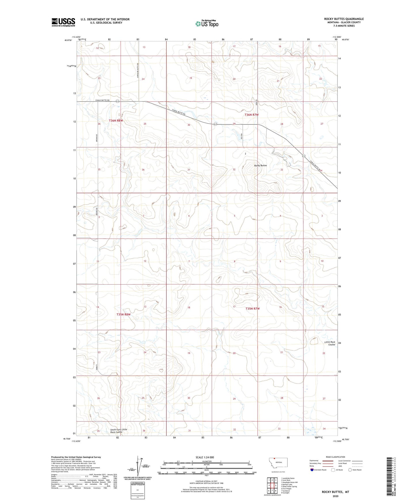
2024 topographic map quadrangle Rocky Buttes in the state of Montana. Scale: 1:24000. Based on the newly updated USGS 7.5' US Topo map series, this map is in the following counties: Glacier. The map contains contour data, water features, and other items you are used to seeing on USGS maps, but also has updated roads and other features. This is the next generation of topographic maps. Printed on high-quality waterproof paper with UV fade-resistant inks.
Quads adjacent to this one:
West: Buffalo Lake
Northwest: Landslide Butte
North: Love Rock
Northeast: Headlight Butte NW
East: Dead Indian Spring
Southeast: Gunsight
South: Sundance
Southwest: Fort Piegan
This map covers the same area as the classic USGS quad with code o48112g5.
Contains the following named places: Glendale Colony, Glendale Colony Census Designated Place, Glendale School, Pish Dam, Rocky Buttes, ZIP Code: 59427