MyTopo
Sundance Montana US Topo Map
Couldn't load pickup availability
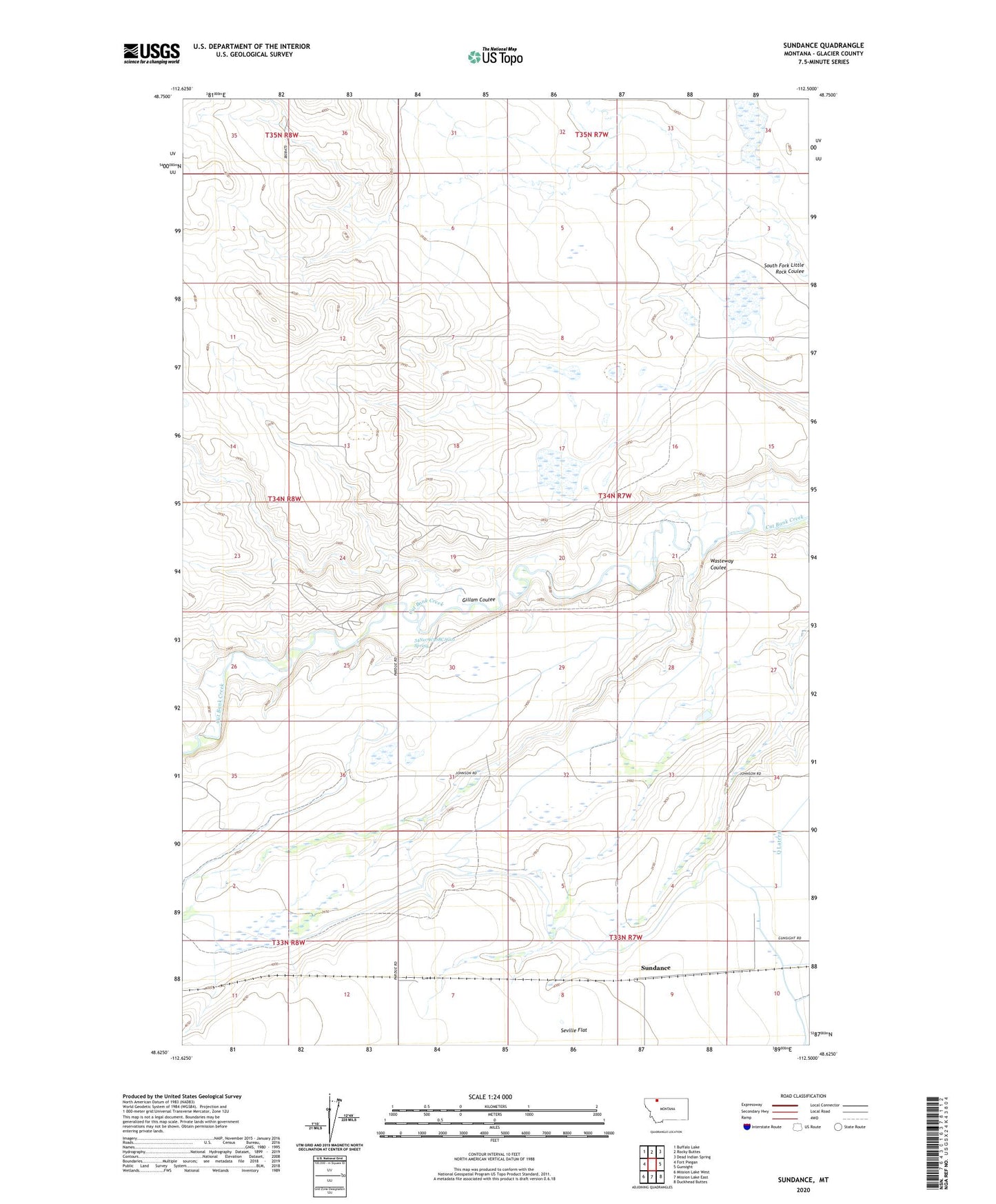
2024 topographic map quadrangle Sundance in the state of Montana. Scale: 1:24000. Based on the newly updated USGS 7.5' US Topo map series, this map is in the following counties: Glacier. The map contains contour data, water features, and other items you are used to seeing on USGS maps, but also has updated roads and other features. This is the next generation of topographic maps. Printed on high-quality waterproof paper with UV fade-resistant inks.
Quads adjacent to this one:
West: Fort Piegan
Northwest: Buffalo Lake
North: Rocky Buttes
Northeast: Dead Indian Spring
East: Gunsight
Southeast: Duckhead Buttes
South: Mission Lake East
Southwest: Mission Lake West
This map covers the same area as the classic USGS quad with code o48112f5.
Contains the following named places: 33N07W09CDDB01 Well, 34N07W06ABAA01 Well, 34N07W30BCAC01 Spring, 34N07W30BCCC01 Well, Camden, Gillam Coulee, Mountain View Elementary, Pardue Elevator, Pardue Sammons Spur, Q Lateral, Seville Colony, Seville Colony Census Designated Place, Seville Post Office, Sundance, Wasteway Coulee