MyTopo
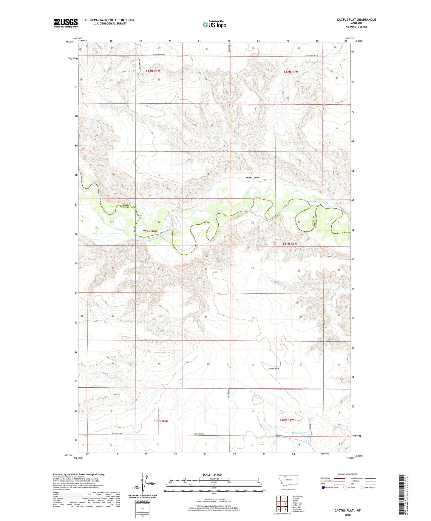
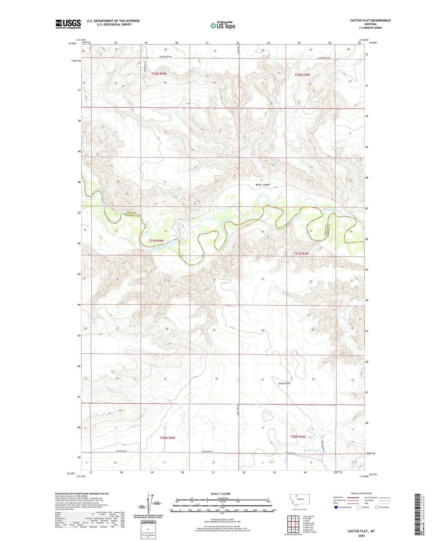
Cactus Flat Montana US Topo Map
Couldn't load pickup availability
2020 topographic map quadrangle Cactus Flat in the state of Montana. Scale: 1:24000. Based on the newly updated USGS 7.5' US Topo map series, this map is in the following counties: Pondera, Toole. The map contains contour data, water features, and other items you are used to seeing on USGS maps, but also has updated roads and other features. This is the next generation of topographic maps. Printed on high-quality waterproof paper with UV fade-resistant inks.
Quads adjacent to this one:
West: Abbott Lake
Northwest: Boru Spring
North: Ethridge
Northeast: Virden
East: Ledger NW
Southeast: Pioneer School
South: Belgian Hill
Southwest: Valier East
Contains the following named places: 30N04W10ABBB01 Well, Cactus Flat, Heron Lake, Lone Tree, Lone Tree School, Millar Coulee, Nelson Ranch, Seifert Ranch, Stanford Russell Ranch