MyTopo
Virden Montana US Topo Map
Couldn't load pickup availability
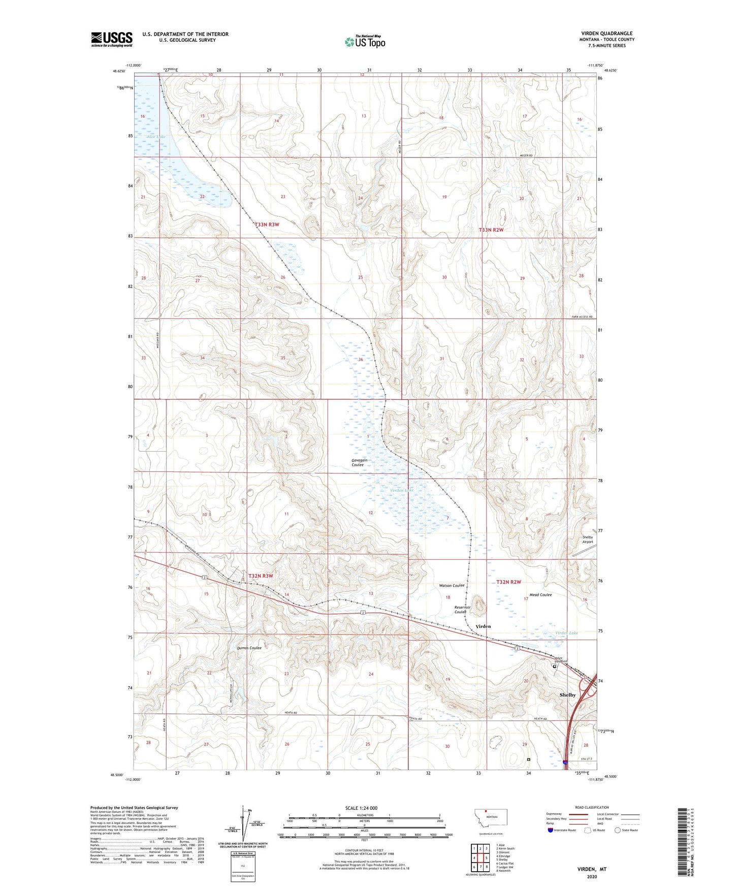
2024 topographic map quadrangle Virden in the state of Montana. Scale: 1:24000. Based on the newly updated USGS 7.5' US Topo map series, this map is in the following counties: Toole. The map contains contour data, water features, and other items you are used to seeing on USGS maps, but also has updated roads and other features. This is the next generation of topographic maps. Printed on high-quality waterproof paper with UV fade-resistant inks.
Quads adjacent to this one:
West: Ethridge
Northwest: Aloe
North: Kevin South
Northeast: Oilmont
East: Shelby
Southeast: Naismith
South: Ledger NW
Southwest: Cactus Flat
This map covers the same area as the classic USGS quad with code o48111e8.
Contains the following named places: Alkali Flat Dam, Crossroads Correctional Center, Dumas Coulee, Dumas Ranch, Flesch Number 1 Dam, Gavagain Coulee, Holstad Ranch, Mead Coulee, Reservoir Coulee, Roberts Ranch, Valley View Cemetery, Verden Lake, Virden, Virden Lake, Watson Coulee, Wiegand Ranch