MyTopo
Calais Montana US Topo Map
Couldn't load pickup availability
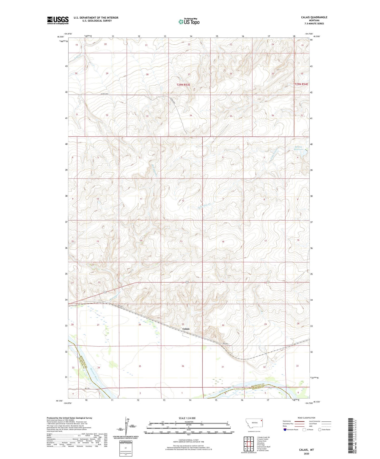
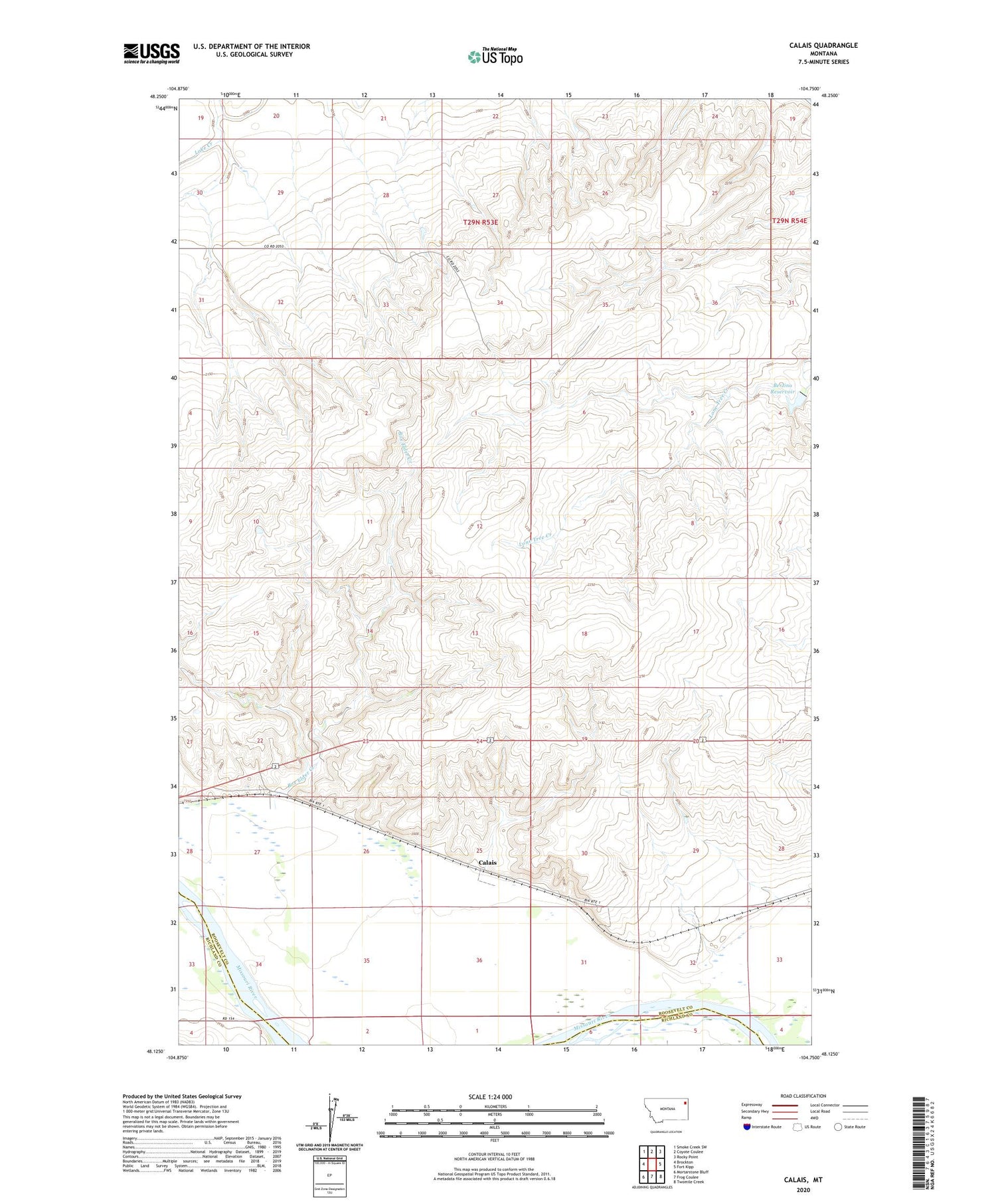
2020 topographic map quadrangle Calais in the state of Montana. Scale: 1:24000. Based on the newly updated USGS 7.5' US Topo map series, this map is in the following counties: Roosevelt, Richland. The map contains contour data, water features, and other items you are used to seeing on USGS maps, but also has updated roads and other features. This is the next generation of topographic maps. Printed on high-quality waterproof paper with UV fade-resistant inks.
Quads adjacent to this one:
West: Brockton
Northwest: Smoke Creek SW
North: Coyote Coulee
Northeast: Rocky Point
East: Fort Kipp
Southeast: Twomile Creek
South: Frog Coulee
Southwest: Mortarstone Bluff
Contains the following named places: 27N53E03AA__01 Well, 27N53E03BA__01 Well, 27N53E04AA__01 Well, 28N53E22DA__01 Well, 28N53E22DC__01 Well, 28N53E22DC__02 Well, 28N53E22DD__01 Well, 28N53E22DD__02 Well, 28N53E25AA__01 Well, 28N53E25CA__01 Well, 28N53E25DBBC01 Well, 28N53E26AD__01 Well, 28N53E26BC__01 Well, 28N53E26CC__01 Well, 28N53E27AA__01 Well, 28N53E27CB__01 Well, 28N53E34AD__01 Well, 28N53E35DD__01 Well, 28N54E19CADB01 Well, 28N54E28CC__01 Well, 28N54E29CD__01 Well, 28N54E31AA__01 Well, 28N54E32BA__01 Well, 29N53E27CABD01 Well, 29N53E32BBBB01 Well, 29N53E36CDCC01 Well, Alton Mine, Bertino Dam, Bertino Reservoir, Blair Gravel Pit, Box Elder Creek, Calais, Fort Kipp, Lewis and Clark National Historic Trail