MyTopo
Cameron Point Montana US Topo Map
Couldn't load pickup availability
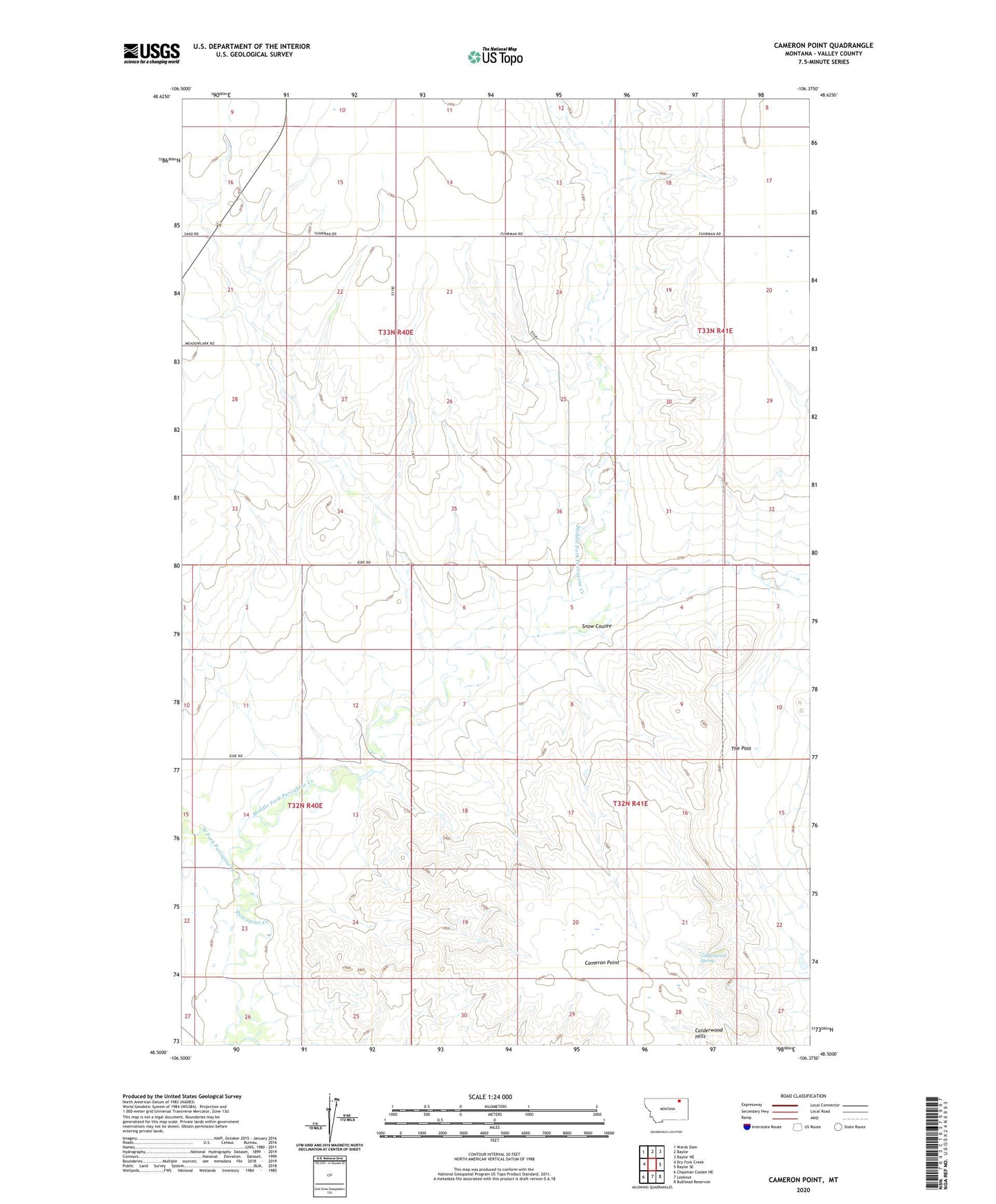
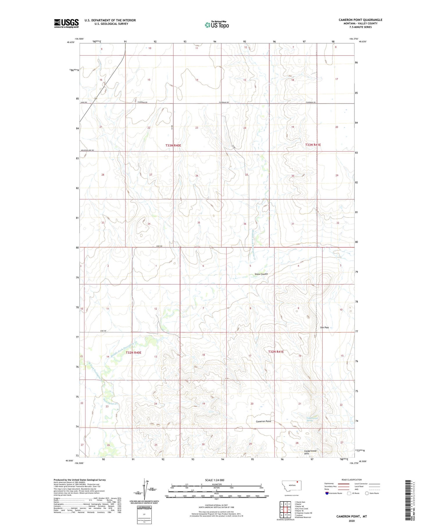
2020 topographic map quadrangle Cameron Point in the state of Montana. Scale: 1:24000. Based on the newly updated USGS 7.5' US Topo map series, this map is in the following counties: Valley. The map contains contour data, water features, and other items you are used to seeing on USGS maps, but also has updated roads and other features. This is the next generation of topographic maps. Printed on high-quality waterproof paper with UV fade-resistant inks.
Quads adjacent to this one:
West: Dry Fork Creek
Northwest: Wards Dam
North: Baylor
Northeast: Baylor NE
East: Baylor SE
Southeast: Bullhead Reservoir
South: Lookout
Southwest: Chapman Coulee NE
Contains the following named places: 33N40E23BBAC01 Well, 33N40E23BBDA01 Well, 33N40E28ABAC01 Well, 33N41E20DBBA01 Well, 33N41E20DBBD01 Well, Calderwood Spring, Cameron Point, Fuhrman School, Middle Fork Porcupine Creek, Midway, Midway Dam, Midway School, Snow Coulee, South Fuhrman School, West Fork Porcupine Creek, Wide Awake School