MyTopo
Wards Dam Montana US Topo Map
Couldn't load pickup availability
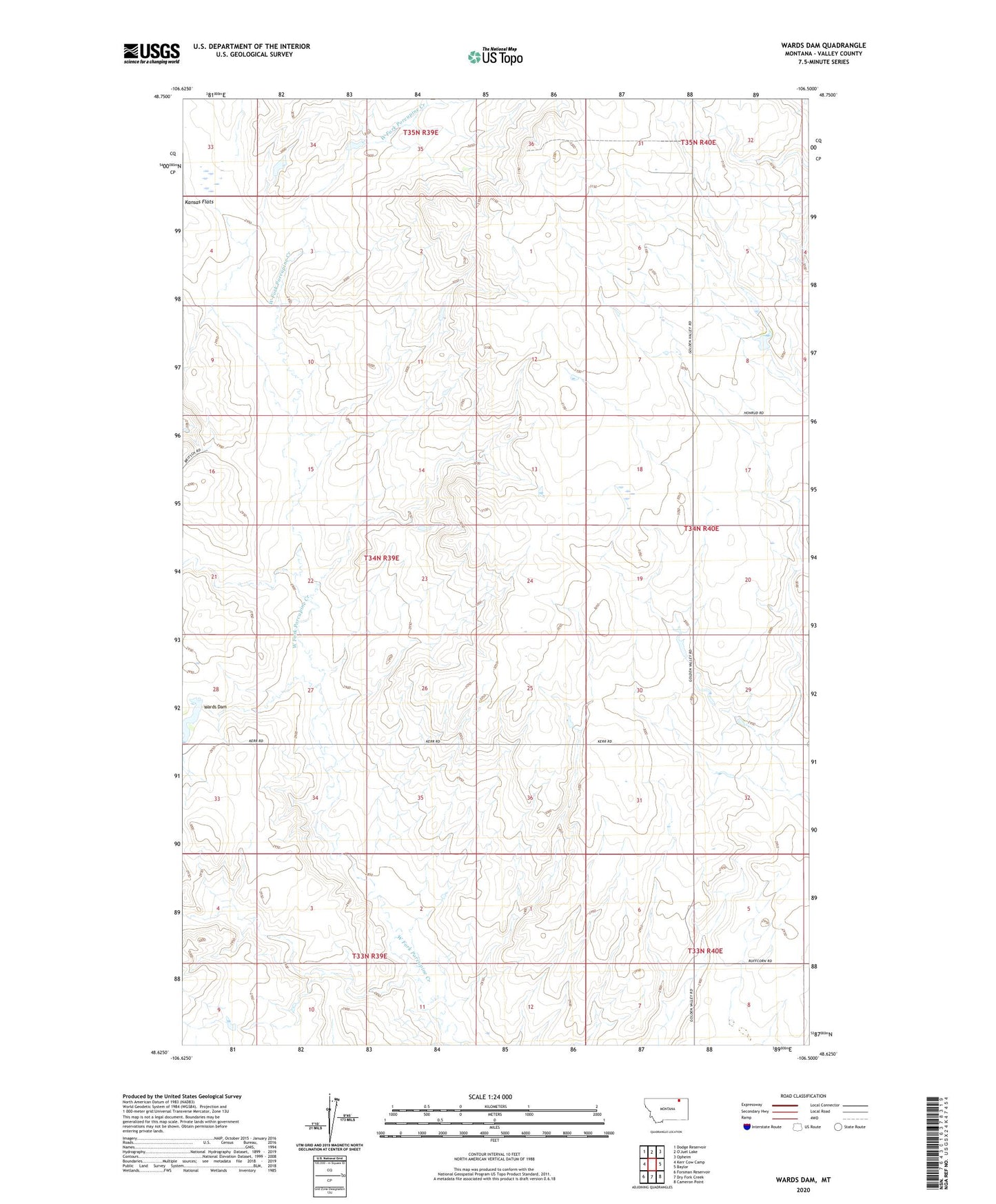
2024 topographic map quadrangle Wards Dam in the state of Montana. Scale: 1:24000. Based on the newly updated USGS 7.5' US Topo map series, this map is in the following counties: Valley. The map contains contour data, water features, and other items you are used to seeing on USGS maps, but also has updated roads and other features. This is the next generation of topographic maps. Printed on high-quality waterproof paper with UV fade-resistant inks.
Quads adjacent to this one:
West: Kerr Cow Camp
Northwest: Dodge Reservoir
Northeast: Opheim
East: Baylor
Southeast: Cameron Point
South: Dry Fork Creek
Southwest: Forsman Reservoir
This map covers the same area as the classic USGS quad with code o48106f5.
Contains the following named places: 33N40E05CCBD02 Well, Delight School, Kansas Flat, Kansas Valley School, Middle Fork Post Office, Sunflower School, VR-46 Dam, Wards Dam, Washington School