MyTopo
Baylor NE Montana US Topo Map
Couldn't load pickup availability
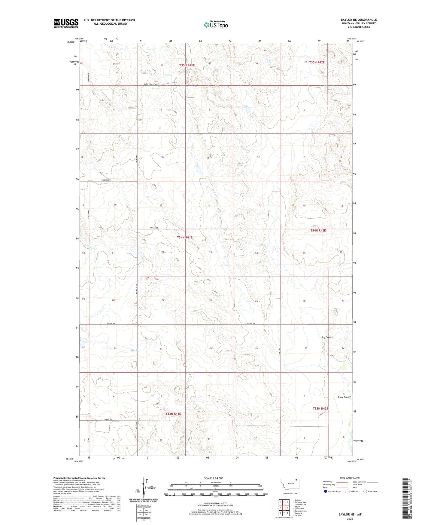
2024 topographic map quadrangle Baylor NE in the state of Montana. Scale: 1:24000. Based on the newly updated USGS 7.5' US Topo map series, this map is in the following counties: Valley. The map contains contour data, water features, and other items you are used to seeing on USGS maps, but also has updated roads and other features. This is the next generation of topographic maps. Printed on high-quality waterproof paper with UV fade-resistant inks.
Quads adjacent to this one:
West: Baylor
Northwest: Opheim
North: Glentana West
Northeast: Glentana East
East: Larslan NW
Southeast: Larslan
South: Baylor SE
Southwest: Cameron Point
This map covers the same area as the classic USGS quad with code o48106f3.
Contains the following named places: Bog Coulee, Green Valley School, North Fuhrman School, Wild Rose, Wild Rose School