MyTopo
Carter Coulee Montana US Topo Map
Couldn't load pickup availability
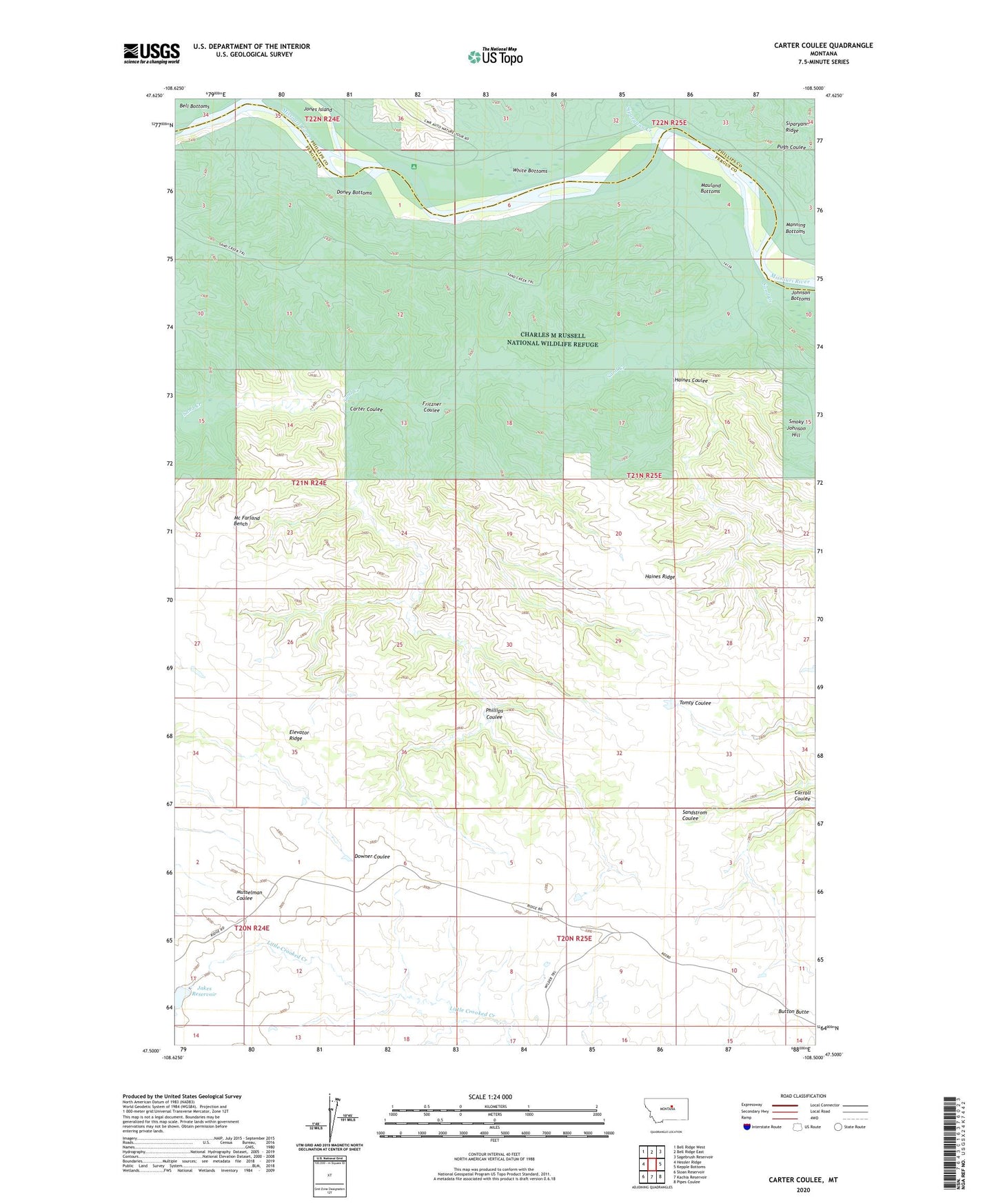
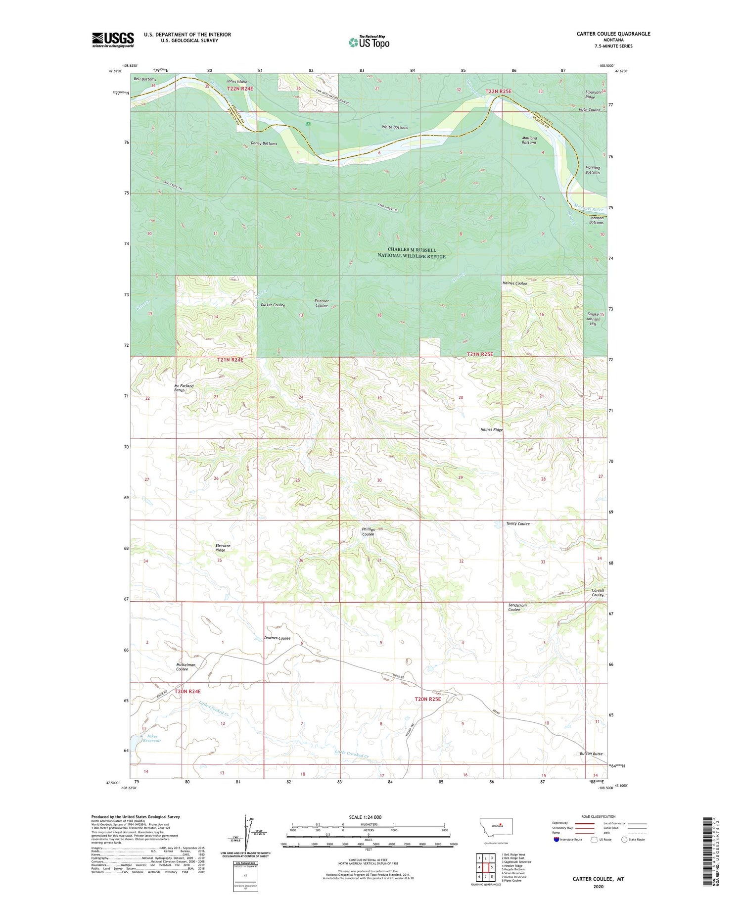
2020 topographic map quadrangle Carter Coulee in the state of Montana. Scale: 1:24000. Based on the newly updated USGS 7.5' US Topo map series, this map is in the following counties: Fergus, Phillips. The map contains contour data, water features, and other items you are used to seeing on USGS maps, but also has updated roads and other features. This is the next generation of topographic maps. Printed on high-quality waterproof paper with UV fade-resistant inks.
Quads adjacent to this one:
West: Hessler Ridge
Northwest: Bell Ridge West
North: Bell Ridge East
Northeast: Sagebrush Reservoir
East: Kepple Bottoms
Southeast: Pipes Coulee
South: Kachia Reservoir
Southwest: Sloan Reservoir
Contains the following named places: 21N24E01AA__01 Well, 21N24E13BA__01 Well, Apex Number 2 Mine, Bell Bottoms, Button Butte, Byford School, Carter Coulee, Cimrhakl Number 4 Dam, Doney Bottoms, Dutch Dam, Duval Creek, Elevator Ridge, Fritzner Coulee, Haines Coulee, Haines Ridge, Jakes Dam, Jakes Reservoir, Jones Island, Little Crooked, Little Crooked Creek School, Little Crooked Post Office, Mathison Ranch, Mauland Bottoms, Mauland Ranch, Mc Farland Bench, Phillips Coulee, Roma White Ranch, Sand Creek, Siparyann Creek, Smoky Johnson Hill, White Bottoms