MyTopo
Chapman Coulee Montana US Topo Map
Couldn't load pickup availability
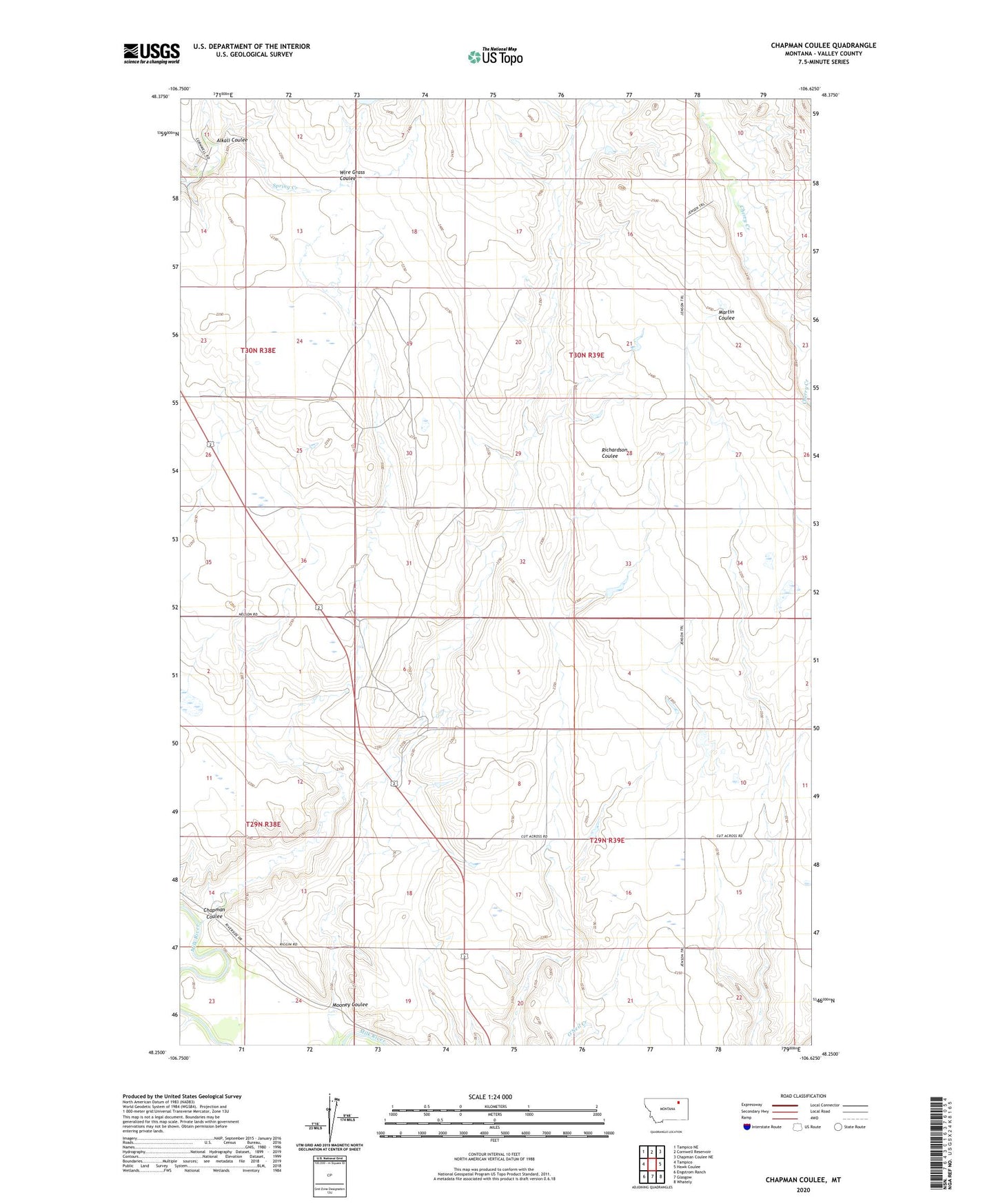
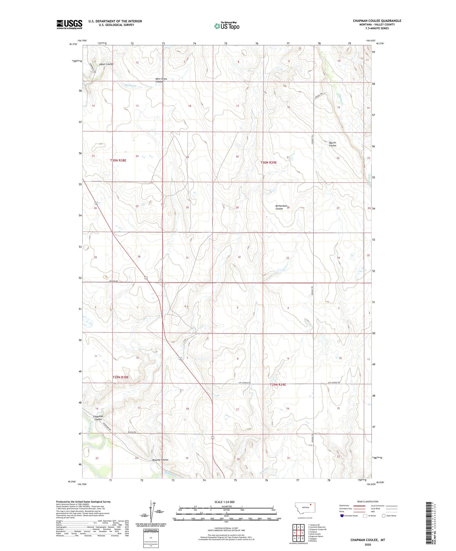
2020 topographic map quadrangle Chapman Coulee in the state of Montana. Scale: 1:24000. Based on the newly updated USGS 7.5' US Topo map series, this map is in the following counties: Valley. The map contains contour data, water features, and other items you are used to seeing on USGS maps, but also has updated roads and other features. This is the next generation of topographic maps. Printed on high-quality waterproof paper with UV fade-resistant inks.
Quads adjacent to this one:
West: Tampico
Northwest: Tampico NE
North: Cornwell Reservoir
Northeast: Chapman Coulee NE
East: Hawk Coulee
Southeast: Whately
South: Glasgow
Southwest: Engstrom Ranch
Contains the following named places: Alkali Coulee, Antelope Creek, Badger School, Buggy Creek School, Chapman Coulee, Cornwall Dam, Mooney Coulee, Riverside, Riverside School, The Man Dam, Valley County, Wire Grass Coulee