MyTopo
Christenson Reservoir Montana US Topo Map
Couldn't load pickup availability
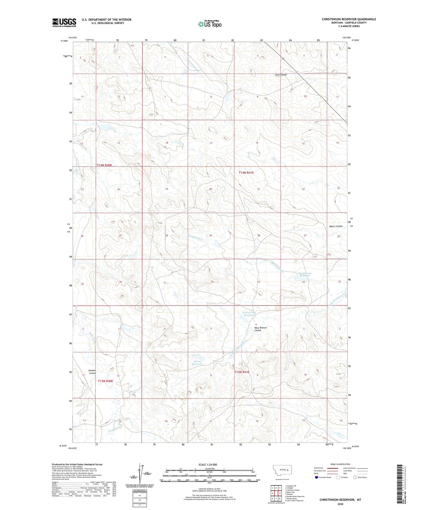
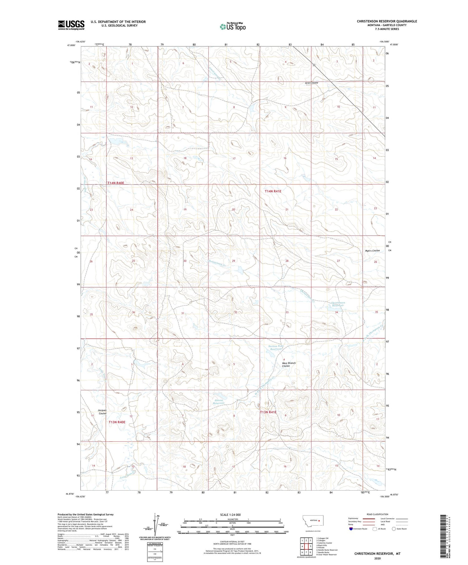
2020 topographic map quadrangle Christenson Reservoir in the state of Montana. Scale: 1:24000. Based on the newly updated USGS 7.5' US Topo map series, this map is in the following counties: Garfield. The map contains contour data, water features, and other items you are used to seeing on USGS maps, but also has updated roads and other features. This is the next generation of topographic maps. Printed on high-quality waterproof paper with UV fade-resistant inks.
Quads adjacent to this one:
West: Black Hills
Northwest: Cohagen SW
North: Cohagen
Northeast: Calamity Coulee
East: Hillside
Southeast: Clear Water Reservoir
South: Needle Butte
Southwest: Needle Butte Reservoir
Contains the following named places: Antone Reservoir, Bob Number 4 Dam, Bob Number 6 Dam, Bob Number 8 Dam, Christenson Creek, Christenson Dam, Christenson Reservoir, Disco Creek Dam, Harmony Dam, Jacques Coulee, Myers Coulee, Section Four Dam, Section Four Reservoir, Smith Ranch 4 Dam, West Branch Coulee, West Fork Lone Tree Creek