MyTopo
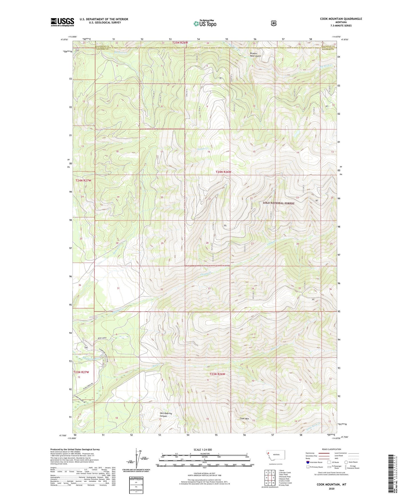
Cook Mountain Montana US Topo Map
Couldn't load pickup availability
Also explore the Cook Mountain Forest Service Topo of this same quad for updated USFS data
2024 topographic map quadrangle Cook Mountain in the state of Montana. Scale: 1:24000. Based on the newly updated USGS 7.5' US Topo map series, this map is in the following counties: Sanders, Flathead. The map contains contour data, water features, and other items you are used to seeing on USGS maps, but also has updated roads and other features. This is the next generation of topographic maps. Printed on high-quality waterproof paper with UV fade-resistant inks.
Quads adjacent to this one:
West: Richards Peak
Northwest: Bend
North: Shroder Creek
Northeast: Murr Peak
East: Bassoo Peak
Southeast: Coney Peak
South: Loneman Creek
Southwest: Calico Creek
This map covers the same area as the classic USGS quad with code o47114g8.
Contains the following named places: Bear Creek, Boulder Gulch, Broken Nose Gulch, Cook Mountain