MyTopo
Diamond G Butte Montana US Topo Map
Couldn't load pickup availability
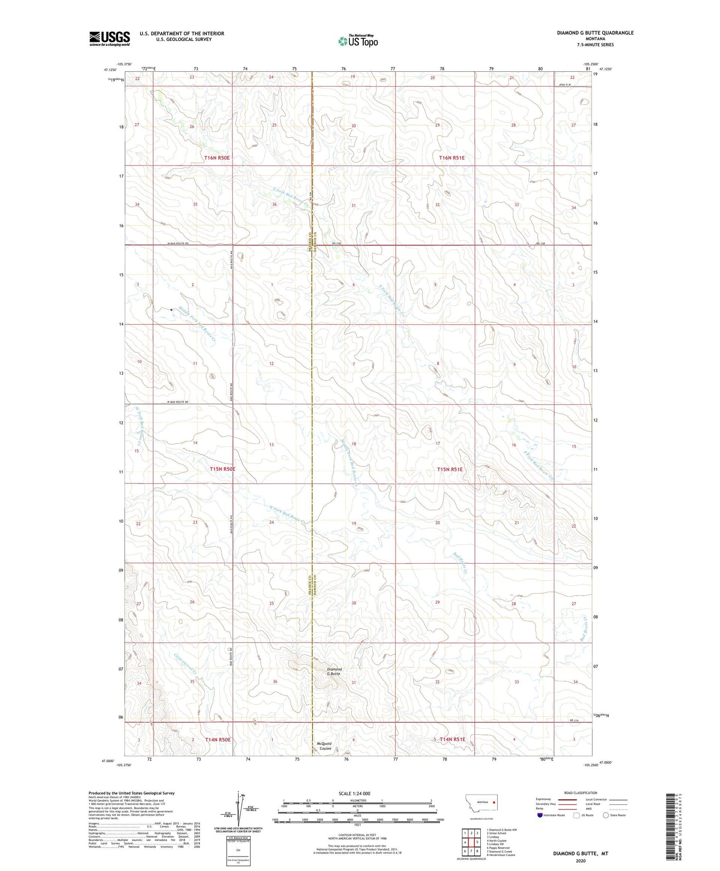
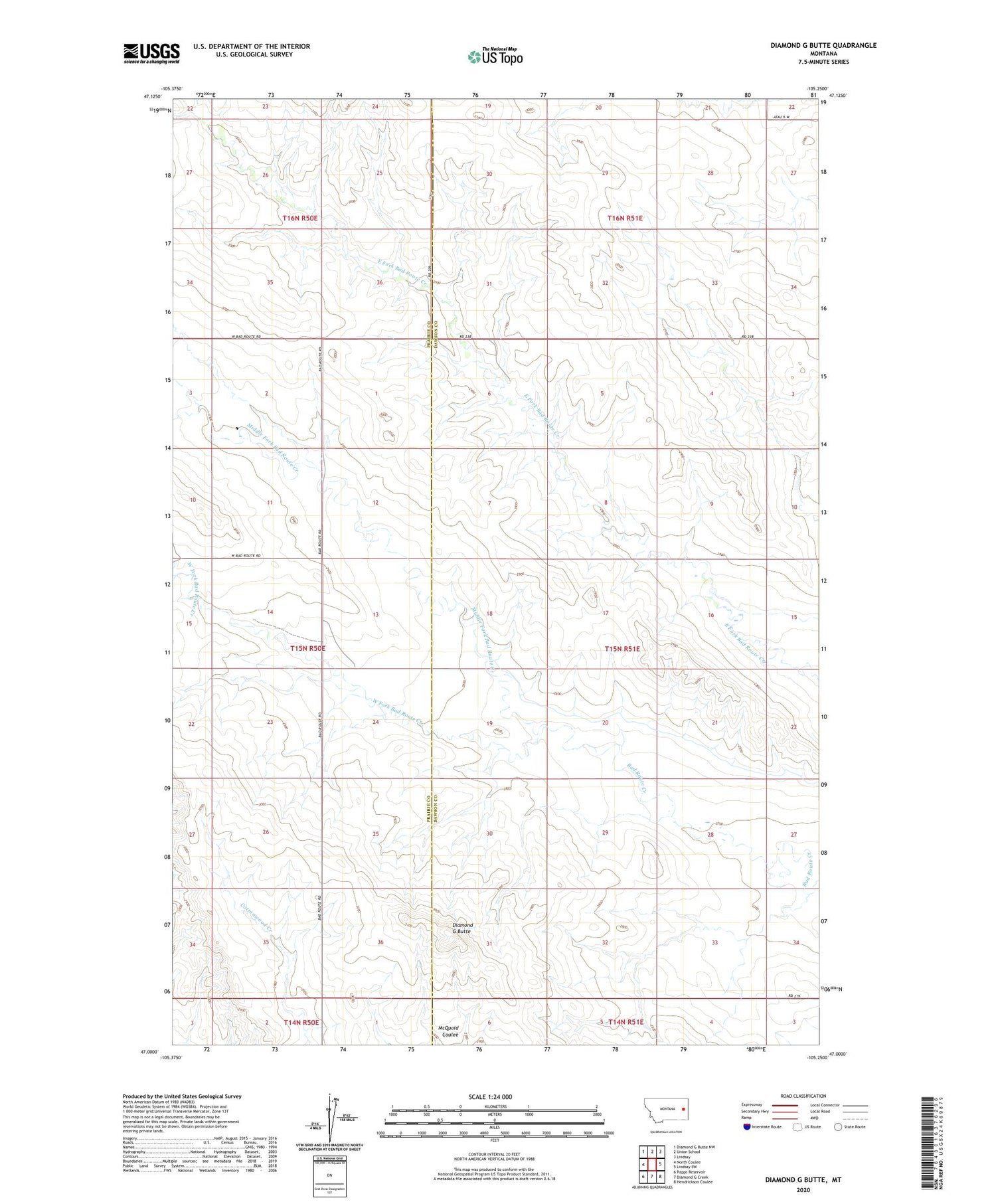
2020 topographic map quadrangle Diamond G Butte in the state of Montana. Scale: 1:24000. Based on the newly updated USGS 7.5' US Topo map series, this map is in the following counties: Dawson, Prairie. The map contains contour data, water features, and other items you are used to seeing on USGS maps, but also has updated roads and other features. This is the next generation of topographic maps. Printed on high-quality waterproof paper with UV fade-resistant inks.
Quads adjacent to this one:
West: North Coulee
Northwest: Diamond G Butte NW
North: Union School
Northeast: Lindsay
East: Lindsay SW
Southeast: Hendrickson Coulee
South: Diamond G Creek
Southwest: Papps Reservoir
Contains the following named places: 15N50E02ABAB01 Well, 15N50E14DBAD01 Well, 15N50E25ABAC01 Well, 15N50E26ABDD01 Well, 15N50E35ACCA01 Well, 15N51E06ACC_01 Well, 15N51E08BBD_01 Well, Certral School, Diamond G Butte, Goodview School, Middle Fork Bad Route Creek, Washington School, West Fork Bad Route Creek