MyTopo
Lindsay SW Montana US Topo Map
Couldn't load pickup availability
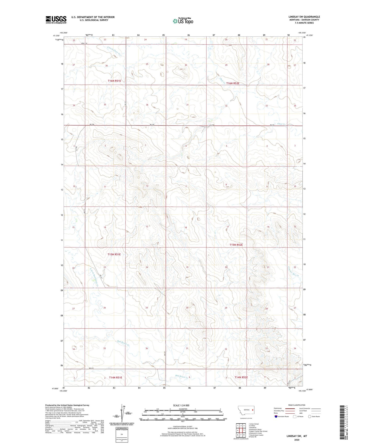
2024 topographic map quadrangle Lindsay SW in the state of Montana. Scale: 1:24000. Based on the newly updated USGS 7.5' US Topo map series, this map is in the following counties: Dawson. The map contains contour data, water features, and other items you are used to seeing on USGS maps, but also has updated roads and other features. This is the next generation of topographic maps. Printed on high-quality waterproof paper with UV fade-resistant inks.
Quads adjacent to this one:
West: Diamond G Butte
Northwest: Union School
North: Lindsay
Northeast: Woodrow
East: Upper Cracker Box School
Southeast: Fallon NE
South: Hendrickson Coulee
Southwest: Diamond G Creek
This map covers the same area as the classic USGS quad with code o47105a2.
Contains the following named places: 14N52E06AAA_01 Well, 15N51E14BBC_01 Well, 15N51E34AAA_01 Well, 16N51E26BAA_01 Well, 16N51E35ABB_01 Well, 16N51E36DCCC01 Well, 16N52E29CBC_01 Well, 16N52E29DBA_01 Well, Bad Route School, Cigar Creek, East Fork Bad Route Creek, Fleming Dam, Hogmire Reservoir Dam, Pierce School, South Fork Clear Creek, Twoee Post Office, Valley View School, Walker Dam, Walker Number 2 Dam