MyTopo
Dovetail Butte Montana US Topo Map
Couldn't load pickup availability
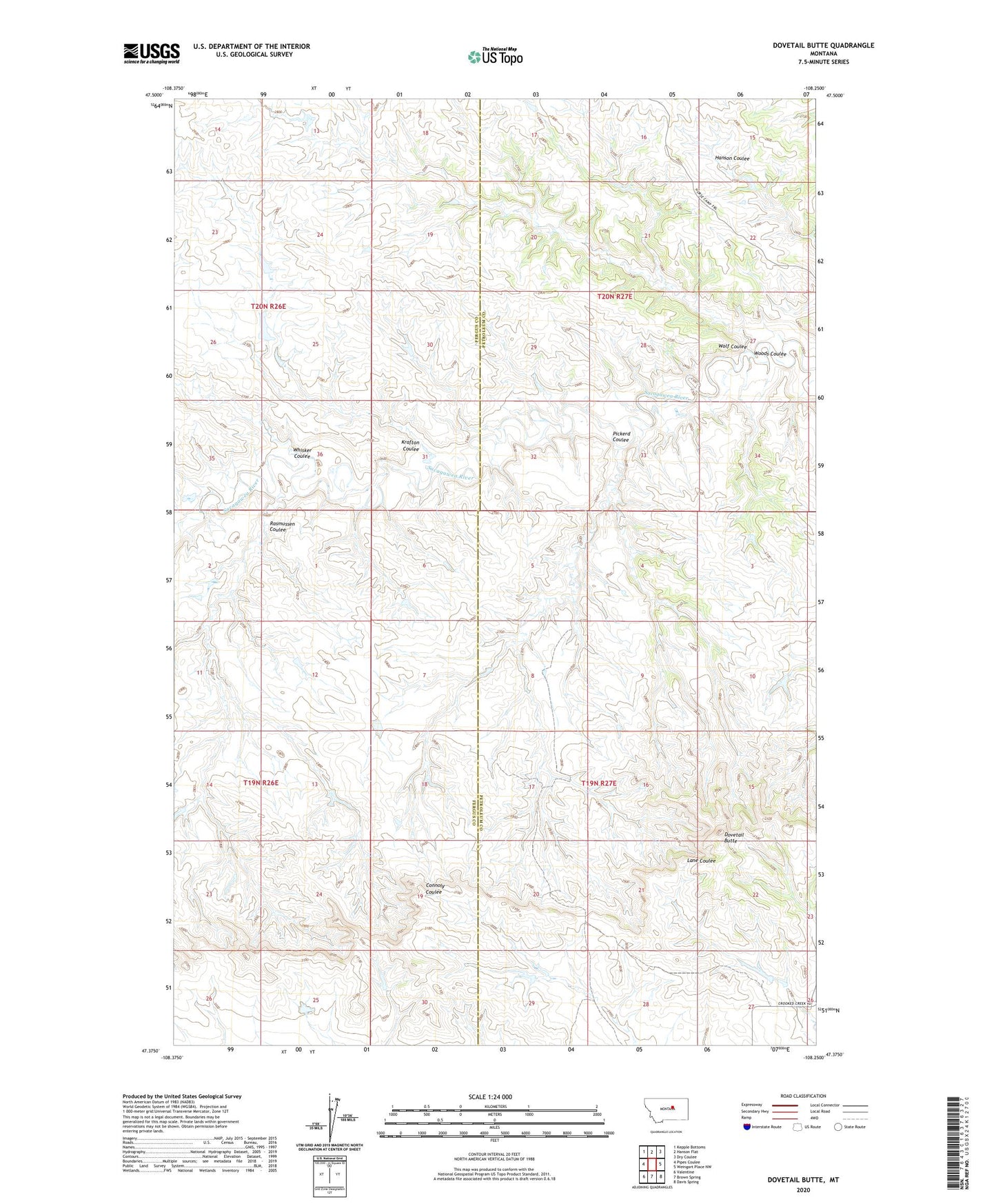
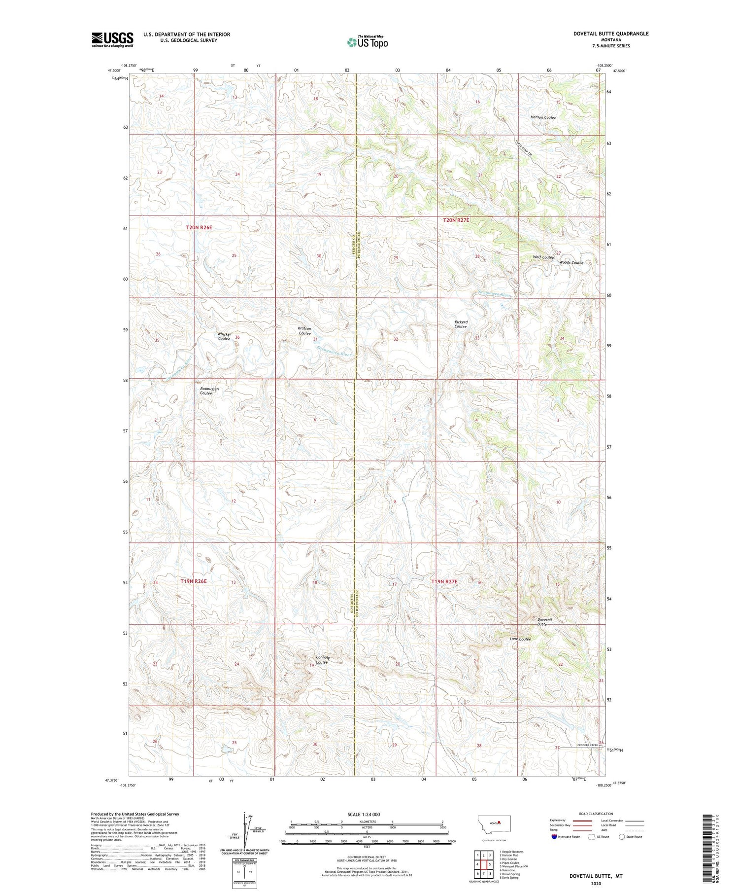
2020 topographic map quadrangle Dovetail Butte in the state of Montana. Scale: 1:24000. Based on the newly updated USGS 7.5' US Topo map series, this map is in the following counties: Petroleum, Fergus. The map contains contour data, water features, and other items you are used to seeing on USGS maps, but also has updated roads and other features. This is the next generation of topographic maps. Printed on high-quality waterproof paper with UV fade-resistant inks.
Quads adjacent to this one:
West: Pipes Coulee
Northwest: Kepple Bottoms
North: Hanson Flat
Northeast: Dry Coulee
East: Weingart Place NW
Southeast: Davis Spring
South: Brown Spring
Southwest: Valentine
Contains the following named places: Chimney Crossing, Dovetail Butte, Krafton Coulee, Pickerd Coulee, Rasmussen Coulee, Whisker Coulee, Wolf Coulee, Woods Coulee