
MyTopo
Dunn Mountain South Montana US Topo Map
Couldn't load pickup availability
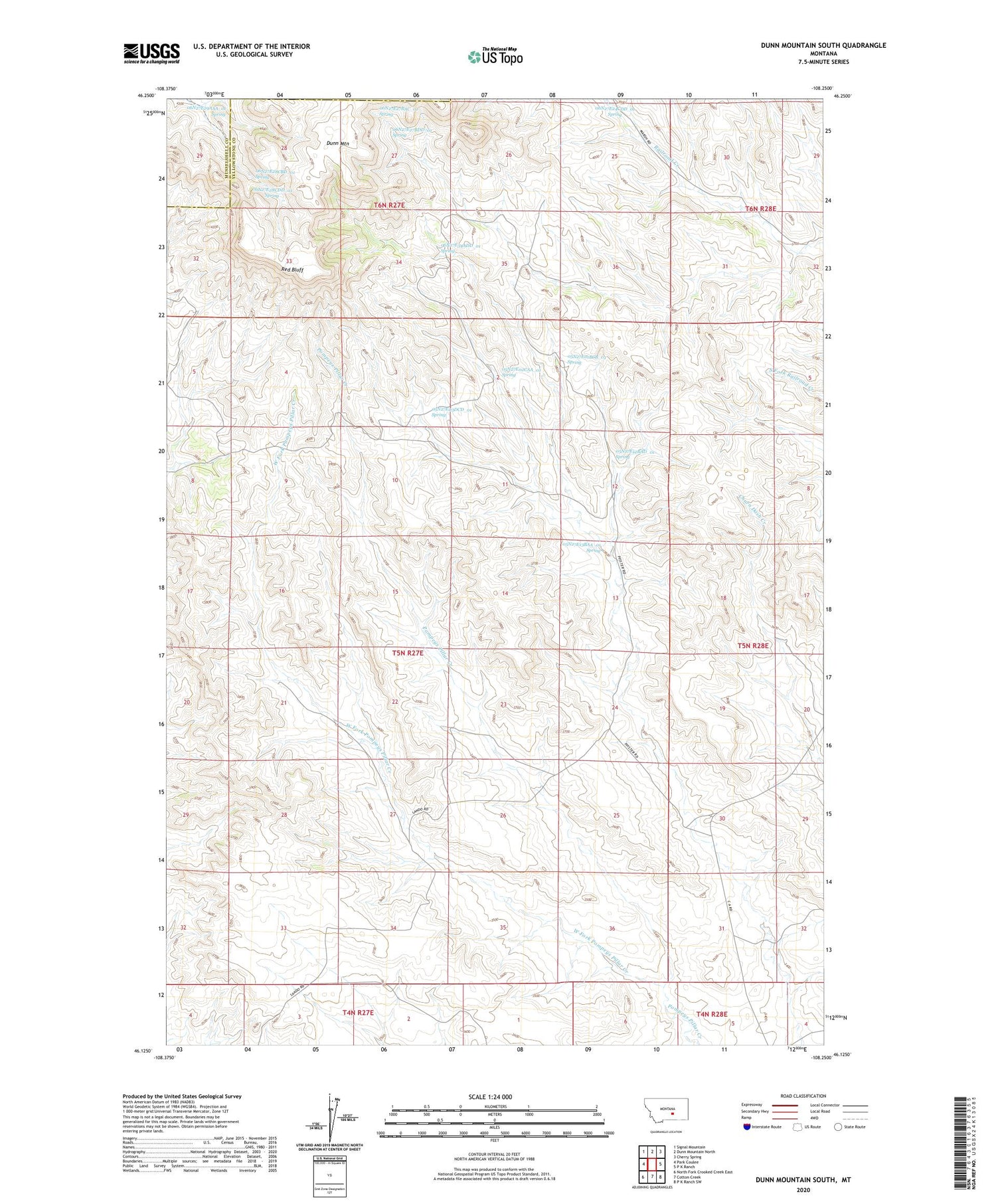
2020 topographic map quadrangle Dunn Mountain South in the state of Montana. Scale: 1:24000. Based on the newly updated USGS 7.5' US Topo map series, this map is in the following counties: Yellowstone, Musselshell. The map contains contour data, water features, and other items you are used to seeing on USGS maps, but also has updated roads and other features. This is the next generation of topographic maps. Printed on high-quality waterproof paper with UV fade-resistant inks.
Quads adjacent to this one:
West: Park Coulee
Northwest: Signal Mountain
North: Dunn Mountain North
Northeast: Cherry Spring
East: P K Ranch
Southeast: P K Ranch SW
South: Cotton Creek
Southwest: North Fork Crooked Creek East
Contains the following named places: 04N27E01CCBB01 Well, 05N27E01BCB_01 Spring, 05N27E01BCC_01 Well, 05N27E02CAA_01 Spring, 05N27E03DCD_01 Spring, 05N27E08ADAA01 Well, 05N27E09CABD01 Well, 05N27E10BACB01 Well, 05N27E11DAB_01 Well, 05N27E12ABCC01 Well, 05N27E12BAD_01 Spring, 05N27E12BADC01 Well, 05N27E13BAA_01 Spring, 05N27E14ADAB01 Well, 05N27E14CCDA01 Well, 05N27E15DBAB01 Well, 05N27E21BACA01 Well, 05N27E21BADD01 Well, 05N27E21DBCD01 Well, 05N27E22DADA01 Well, 05N27E34DDCC01 Well, 05N28E06AADD01 Well, 05N28E06DBCC01 Well, 05N28E30B___01 Well, 06N27E24CDD_01 Spring, 06N27E25ABDC01 Well, 06N27E27BAC_01 Spring, 06N27E27BDD_01 Spring, 06N27E28CBD_01 Spring, 06N27E28CDD_01 Spring, 06N27E29AAA_01 Spring, 06N27E34ADD_01 Spring, 06N27E34BDAC01 Well, 06N27E34DBCC01 Well, 06N27E35ACD_01 Well, 06N27E35BBAC01 Well, 06N27E36CACB01 Well, 06N28E30CBD_01 Well, 06N28E30DCDB01 Well, 06N28E31CBDC01 Well, 06N28E32BCAC01 Well, Holland Mine, Red Bluff


