MyTopo
P K Ranch Montana US Topo Map
Couldn't load pickup availability
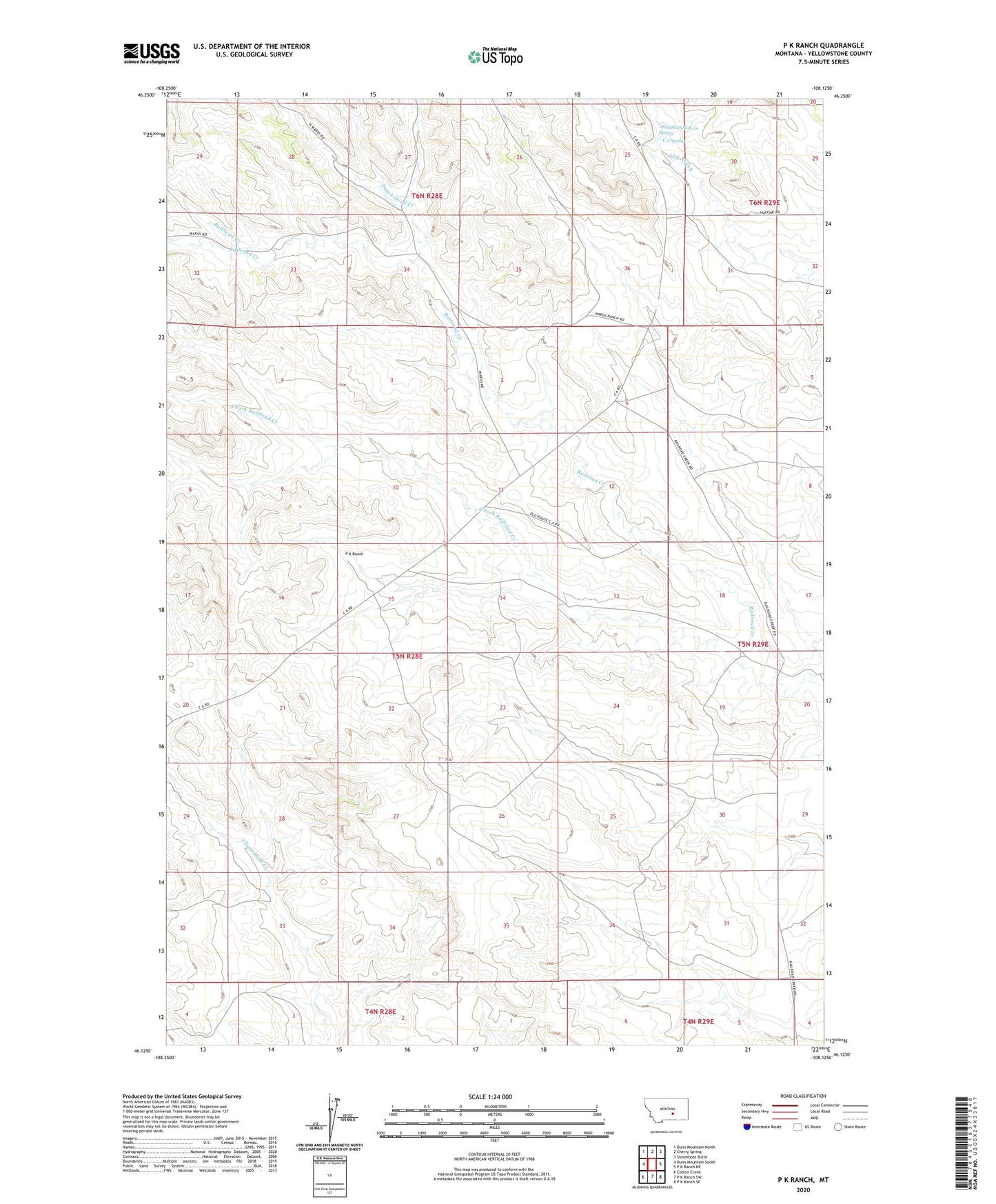
2024 topographic map quadrangle P K Ranch in the state of Montana. Scale: 1:24000. Based on the newly updated USGS 7.5' US Topo map series, this map is in the following counties: Yellowstone. The map contains contour data, water features, and other items you are used to seeing on USGS maps, but also has updated roads and other features. This is the next generation of topographic maps. Printed on high-quality waterproof paper with UV fade-resistant inks.
Quads adjacent to this one:
West: Dunn Mountain South
Northwest: Dunn Mountain North
North: Cherry Spring
Northeast: Steamboat Butte
East: P K Ranch NE
Southeast: P K Ranch SE
South: P K Ranch SW
Southwest: Cotton Creek
This map covers the same area as the classic USGS quad with code o46108b2.
Contains the following named places: 05N28E04CBAA01 Well, 05N28E09BCDC01 Well, 05N28E12D___01 Well, 05N28E16C___01 Well, 05N28E26DCAC01 Well, 06N28E25ACA_01 Spring, 06N28E32ADCD01 Well, 06N28E32BAD_01 Well, 06N28E32BDD_01 Well, 06N28E33ABB_01 Well, 06N28E33BCBB01 Well, 06N28E33BCDA01 Well, Bullhead Creek, C A Spring, Dutch Oven Creek, P K Ranch, South Fork Railroad Creek