
MyTopo
Elton Montana US Topo Map
Couldn't load pickup availability
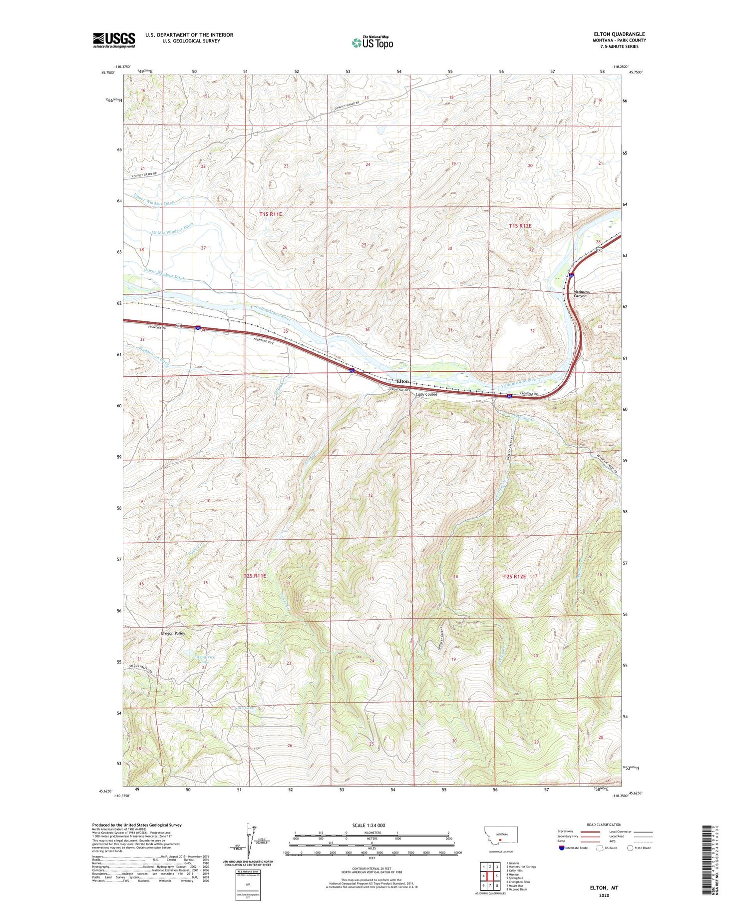
2020 topographic map quadrangle Elton in the state of Montana. Scale: 1:24000. Based on the newly updated USGS 7.5' US Topo map series, this map is in the following counties: Park. The map contains contour data, water features, and other items you are used to seeing on USGS maps, but also has updated roads and other features. This is the next generation of topographic maps. Printed on high-quality waterproof paper with UV fade-resistant inks.
Quads adjacent to this one:
West: Mission
Northwest: Grannis
North: Hunters Hot Springs
Northeast: Kelly Hills
East: Springdale
Southeast: McLeod Basin
South: Mount Rae
Southwest: Livingston Peak
Contains the following named places: 01S11E27C___01 Well, Alkire Homestead, Big Mission Ditch, Cady Coulee, Cady Post Office, Clay Ranch, Dalzeil Homestead, East Fork Peterson Creek, Elton, Elton School, Fitzpatrick Lake, Francis Ranch, Frelick Homestead, Gate Lake, Greeley Creek, John M Bozeman Historical Marker, L M Lodge, Larkin Ranch, Locke Creek, Locke Creek School, Lower Windsor Ditch, McAdows Canyon, Mesoydez Homestead, Oregon Valley, Peterson Creek, Peterson Ranch, Swanson Ranch, Teichert Homestead, Tenland Homestead, Troutman Homestead, Upper Windsor Ditch, Wilburn Ranch, Wilcox Homestead, Windsor Ranch, Woods Place, Work Creek


