MyTopo
Flick Lake Montana US Topo Map
Couldn't load pickup availability
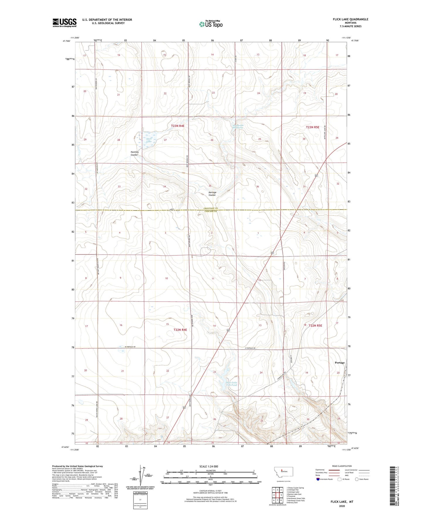
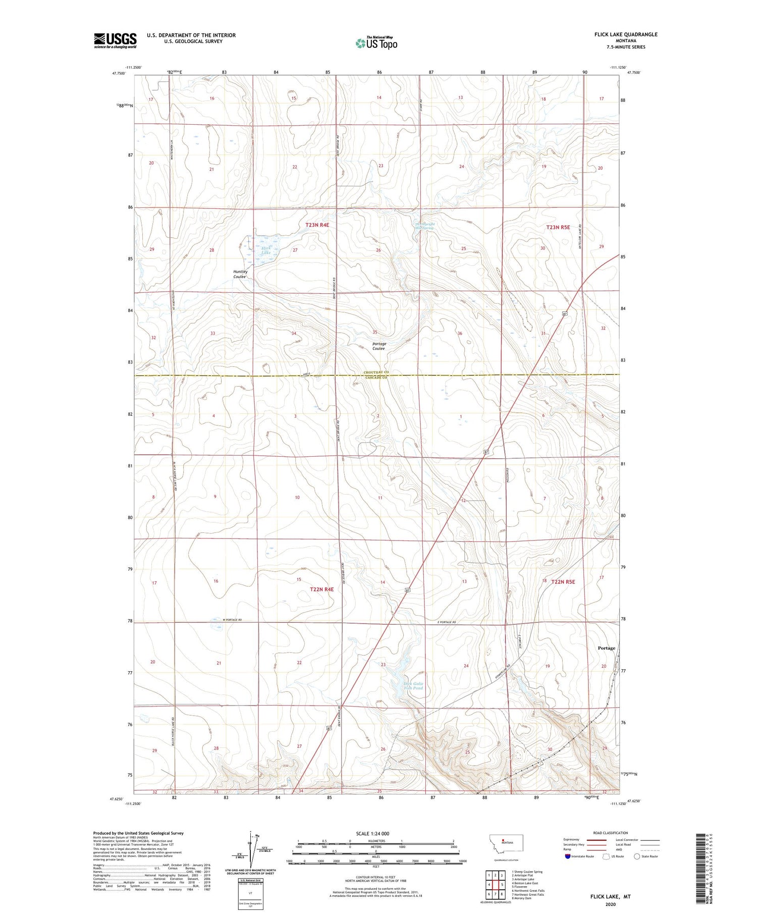
2020 topographic map quadrangle Flick Lake in the state of Montana. Scale: 1:24000. Based on the newly updated USGS 7.5' US Topo map series, this map is in the following counties: Cascade, Chouteau. The map contains contour data, water features, and other items you are used to seeing on USGS maps, but also has updated roads and other features. This is the next generation of topographic maps. Printed on high-quality waterproof paper with UV fade-resistant inks.
Quads adjacent to this one:
West: Benton Lake East
Northwest: Sheep Coulee Spring
North: Antelope Flat
Northeast: Antelope Lake
East: Floweree
Southeast: Morony Dam
South: Northeast Great Falls
Southwest: Northwest Great Falls
Contains the following named places: Charlotts Webb Dam, Dick Golie Fish Pond, Dick Golie Wildlife Dam, Flick Lake, Pershing School, Portage Pit, Roosevelt School, Springs, Twentyeight Mile Spring, Twenty-Eight Mile Spring, ZIP Code: 59440