MyTopo
Gable Mountain Montana US Topo Map
Couldn't load pickup availability
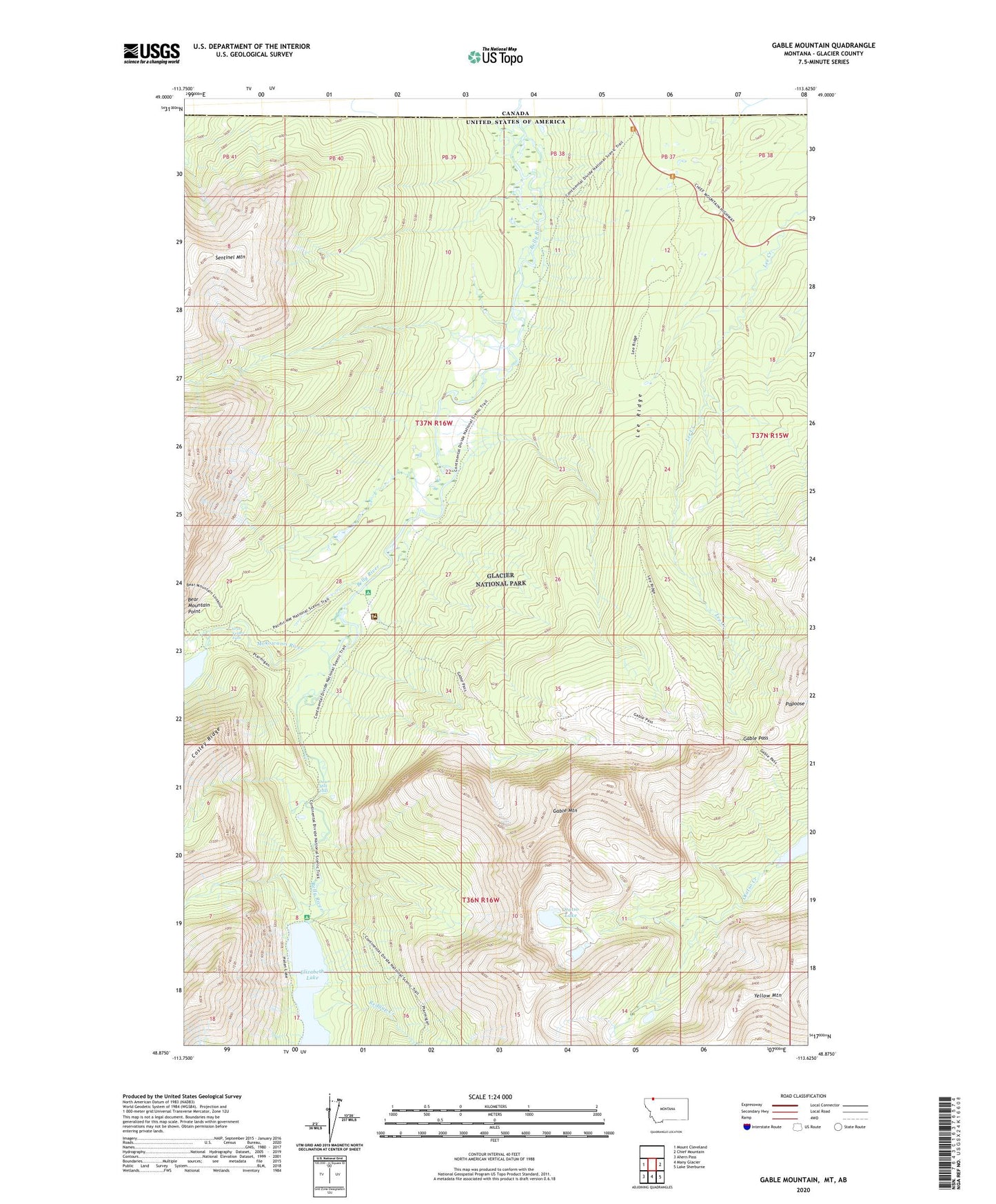
2020 topographic map quadrangle Gable Mountain in the state of Montana. Scale: 1:24000. Based on the newly updated USGS 7.5' US Topo map series, this map is in the following counties: Glacier. The map contains contour data, water features, and other items you are used to seeing on USGS maps, but also has updated roads and other features. This is the next generation of topographic maps. Printed on high-quality waterproof paper with UV fade-resistant inks.
Quads adjacent to this one:
West: Mount Cleveland
East: Chief Mountain
Southeast: Lake Sherburne
South: Many Glacier
Southwest: Ahern Pass
Contains the following named places: Bear Mountain Point, Belly River Ranger Station, Cosley Lake Cutoff Trail, Dawn Mist Falls, Elizabeth Lake, Gable Mountain, Gable Pass, Gable Pass Trail, Gros Ventre Falls, Lee Ridge, Mokowanis River, North Fork Belly River Trail, Otatso Lake, Papoose, Port of Chief Mountain, Redgap Creek, Sentinel Mountain, Slide Lake, Threemile Campsite