
MyTopo
Goodspeed Butte Montana US Topo Map
Couldn't load pickup availability
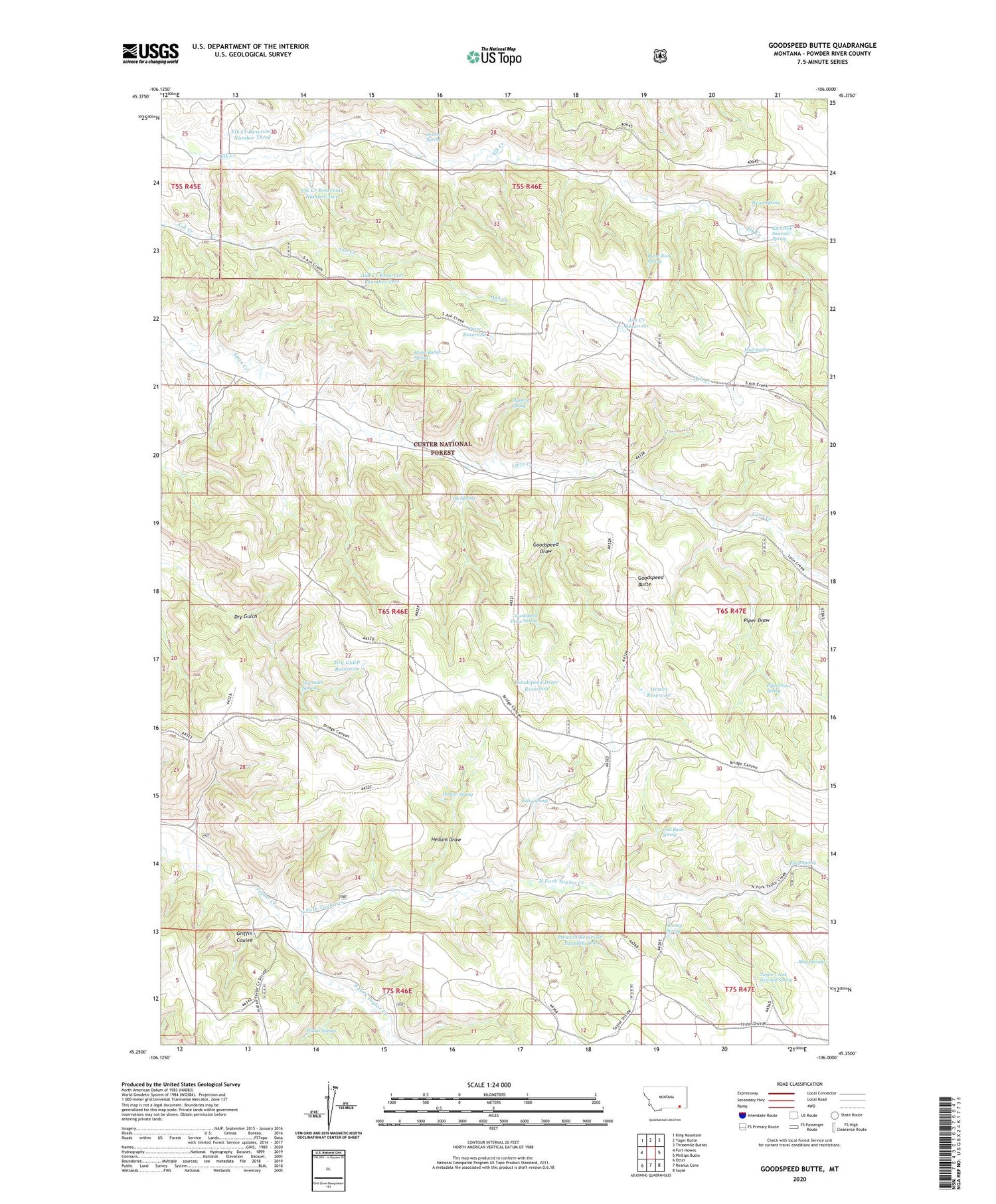
2020 topographic map quadrangle Goodspeed Butte in the state of Montana. Scale: 1:24000. Based on the newly updated USGS 7.5' US Topo map series, this map is in the following counties: Powder River. The map contains contour data, water features, and other items you are used to seeing on USGS maps, but also has updated roads and other features. This is the next generation of topographic maps. Printed on high-quality waterproof paper with UV fade-resistant inks.
Quads adjacent to this one:
West: Fort Howes
Northwest: King Mountain
North: Yager Butte
Northeast: Threemile Buttes
East: Phillips Butte
Southeast: Sayle
South: Reanus Cone
Southwest: Otter
Contains the following named places: 06S38E24ADAC01 Well, 06S46E33DDB_01 Well, Ash Creek Reservoir, Ash Creek Reservoir Number Two, Burnt Rock Spring, Coal Bank Spring, Dry Gulch Reservoir, Dry Gulch Spring, Elk Creek Reservoir Number Three, Elk Creek Reservoir Number Two, Elk Creek Sawmill Spring, Goodspeed Butte, Goodspeed Draw, Goodspeed Draw Reservoir, Goodspeed Draw Spring, Griffin Coulee, Hedum Draw, Hedum Spring, Horse Range Spring, Howes Reservoir, Kelty Spring, Lyon Divide Reservoir Dam, Mud Spring, Mystery Spring, North Fork Taylor Creek, Ole Spring, Overall Spring, Pierce Spring, Piper Draw, Piper Draw Spring, Price Reservoir, Sheep Spring, South Fork Taylor Creek, Stanley Spring, Stewart Reservoir Number Two, Tate Well, Taylor Creek Sawmill Spring, Wilbur Spring


