MyTopo
Hagen Gap Montana US Topo Map
Couldn't load pickup availability
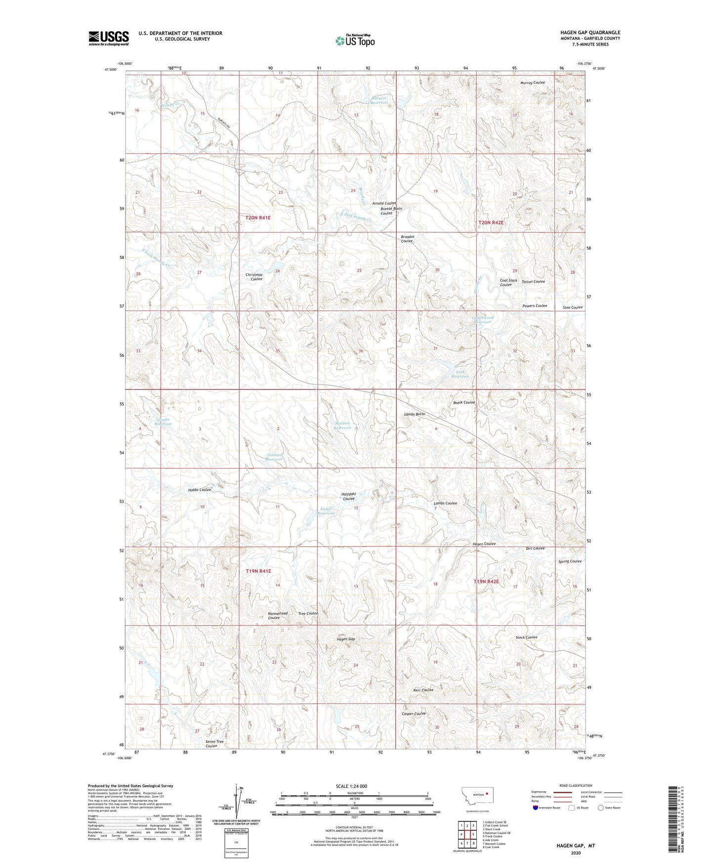
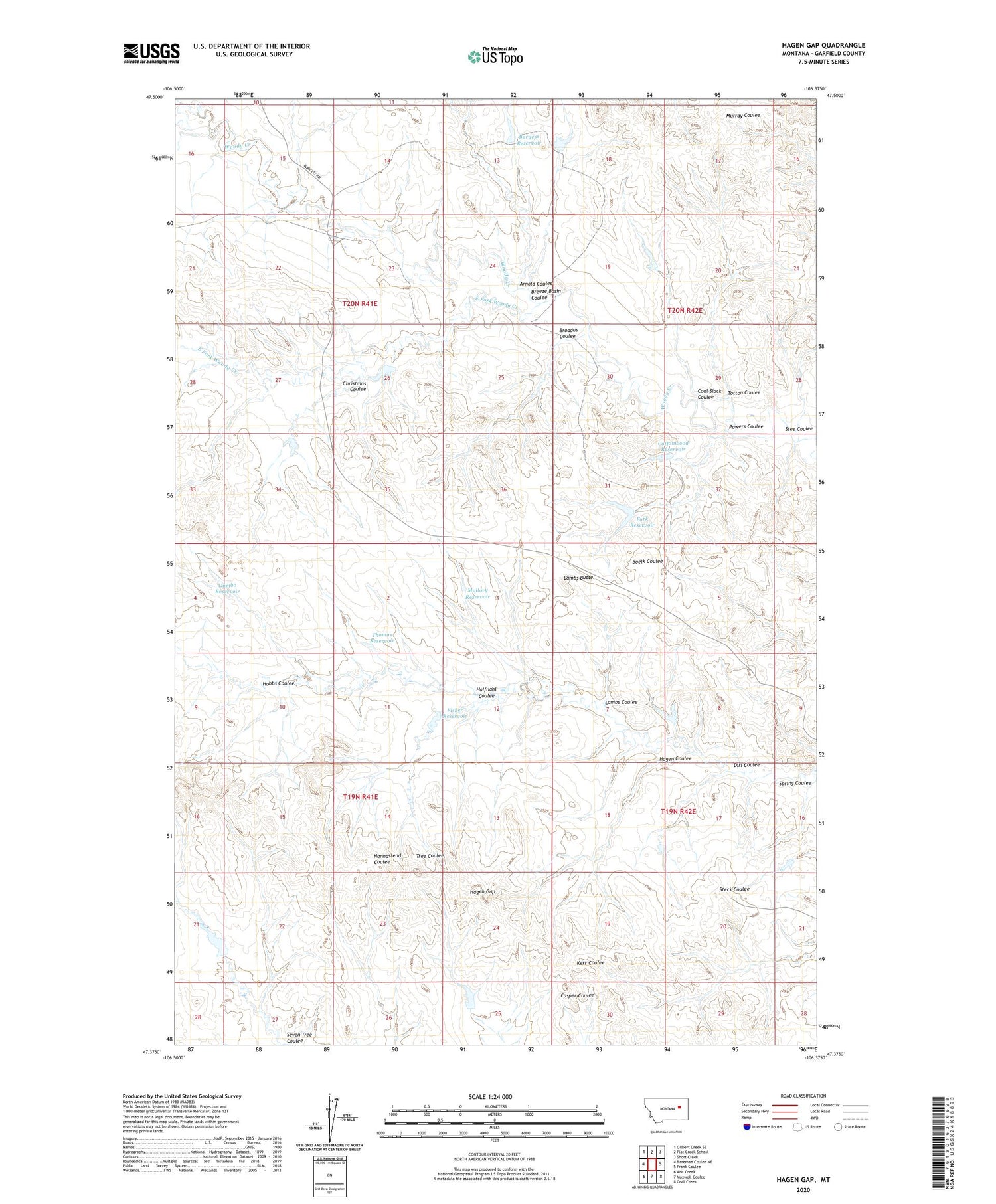
2020 topographic map quadrangle Hagen Gap in the state of Montana. Scale: 1:24000. Based on the newly updated USGS 7.5' US Topo map series, this map is in the following counties: Garfield. The map contains contour data, water features, and other items you are used to seeing on USGS maps, but also has updated roads and other features. This is the next generation of topographic maps. Printed on high-quality waterproof paper with UV fade-resistant inks.
Quads adjacent to this one:
West: Bateman Coulee NE
Northwest: Gilbert Creek SE
North: Flat Creek School
Northeast: Short Creek
East: Frank Coulee
Southeast: Coal Creek
South: Maxwell Coulee
Southwest: Ada Creek
Contains the following named places: 20N41E14A___01 Well, 20N41E23B___01 Well, 20N41E23B___02 Well, 20N41E26ABAD01 Well, 20N42E28CD__01 Well, Arnold Coulee, Billing Spring Number 1 Dam, Billings Number 1 Dam, Billings Number 2 Dam, Breeze Basin Coulee, Breezy Basin Dam, Broadus Coulee, Burgess Ranch, Burgess Ranch Number 1 Dam, Burgess Reservoir, Christmas Coulee, Christmas Dam Number 1, Christmas Well, Coal Dam, Coal Slack Coulee, Cottonwood Reservoir, Dirl Coulee, East Fork Woody Creek, Fisher Reservoir, Fisher Reservoir Dam, Fork Reservoir, Gumbo Reservoir, Hagen Coulee, Hagen Gap, Halfdahl Coulee, Hobbs Coulee, Lambs Butte, Lambs Coulee, Lester Well, Mullory Reservoir, Powers Coulee, Seven Tree Dam, Stee Coulee, Thomas Reservoir, Totton Coulee, Tree Coulee Dam, USA Reservoir Number 1 Dam, Viall Post Office