
MyTopo
Hawk Coulee Montana US Topo Map
Couldn't load pickup availability
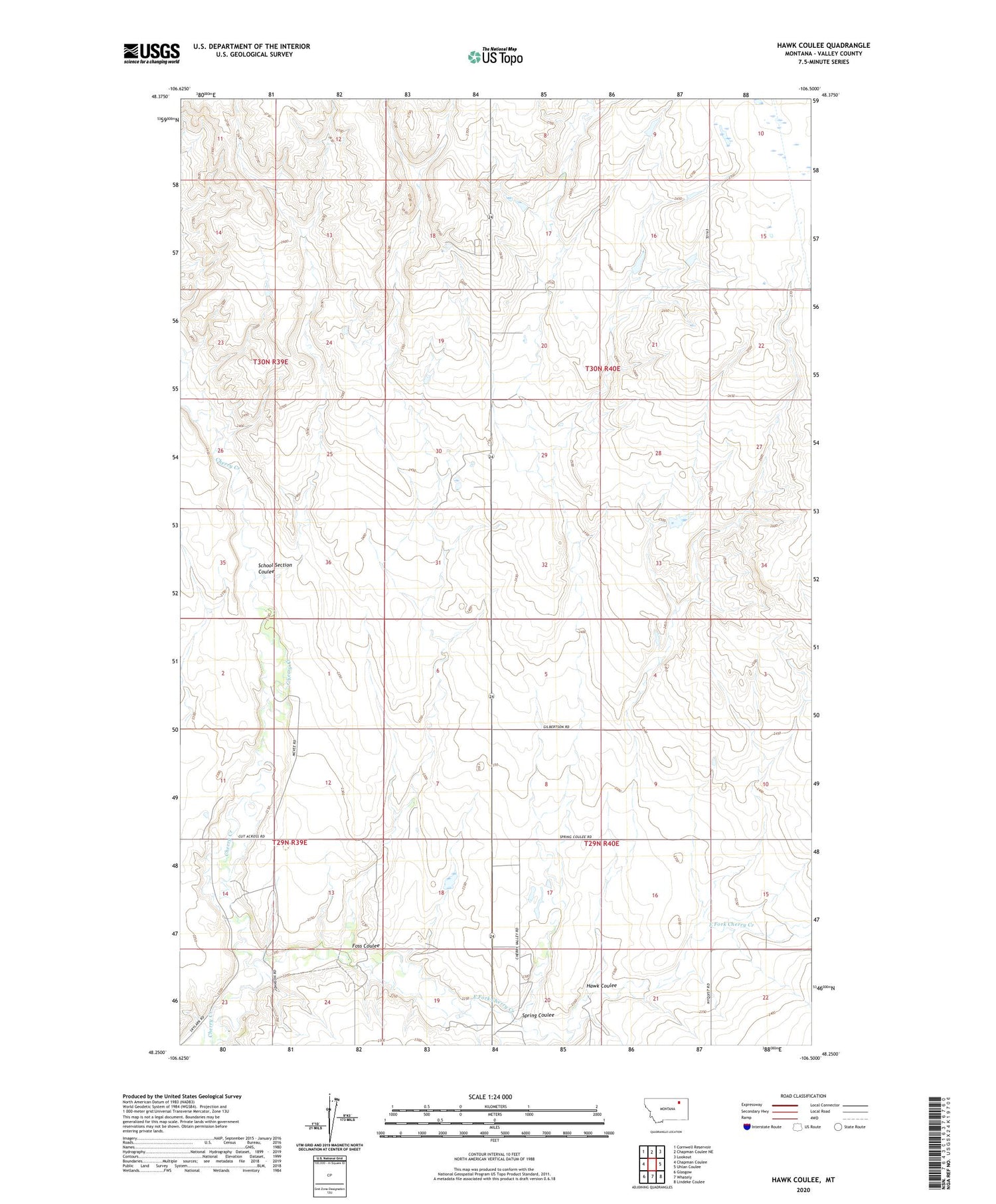
2020 topographic map quadrangle Hawk Coulee in the state of Montana. Scale: 1:24000. Based on the newly updated USGS 7.5' US Topo map series, this map is in the following counties: Valley. The map contains contour data, water features, and other items you are used to seeing on USGS maps, but also has updated roads and other features. This is the next generation of topographic maps. Printed on high-quality waterproof paper with UV fade-resistant inks.
Quads adjacent to this one:
West: Chapman Coulee
Northwest: Cornwell Reservoir
North: Chapman Coulee NE
Northeast: Lookout
East: Uhlan Coulee
Southeast: Lindeke Coulee
South: Whately
Southwest: Glasgow
Contains the following named places: Allie Dam, Big Deal Dam, Cherry Creek School, East Fork Cherry Creek, Foss Coulee, Hawk Coulee, Hawk-Eye Dam, Liberty School, Nyquist Number 1 Dam, Rose Hill, Rose Hill School, School Section Coulee, Spring Coulee


