MyTopo
Uhlan Coulee Montana US Topo Map
Couldn't load pickup availability
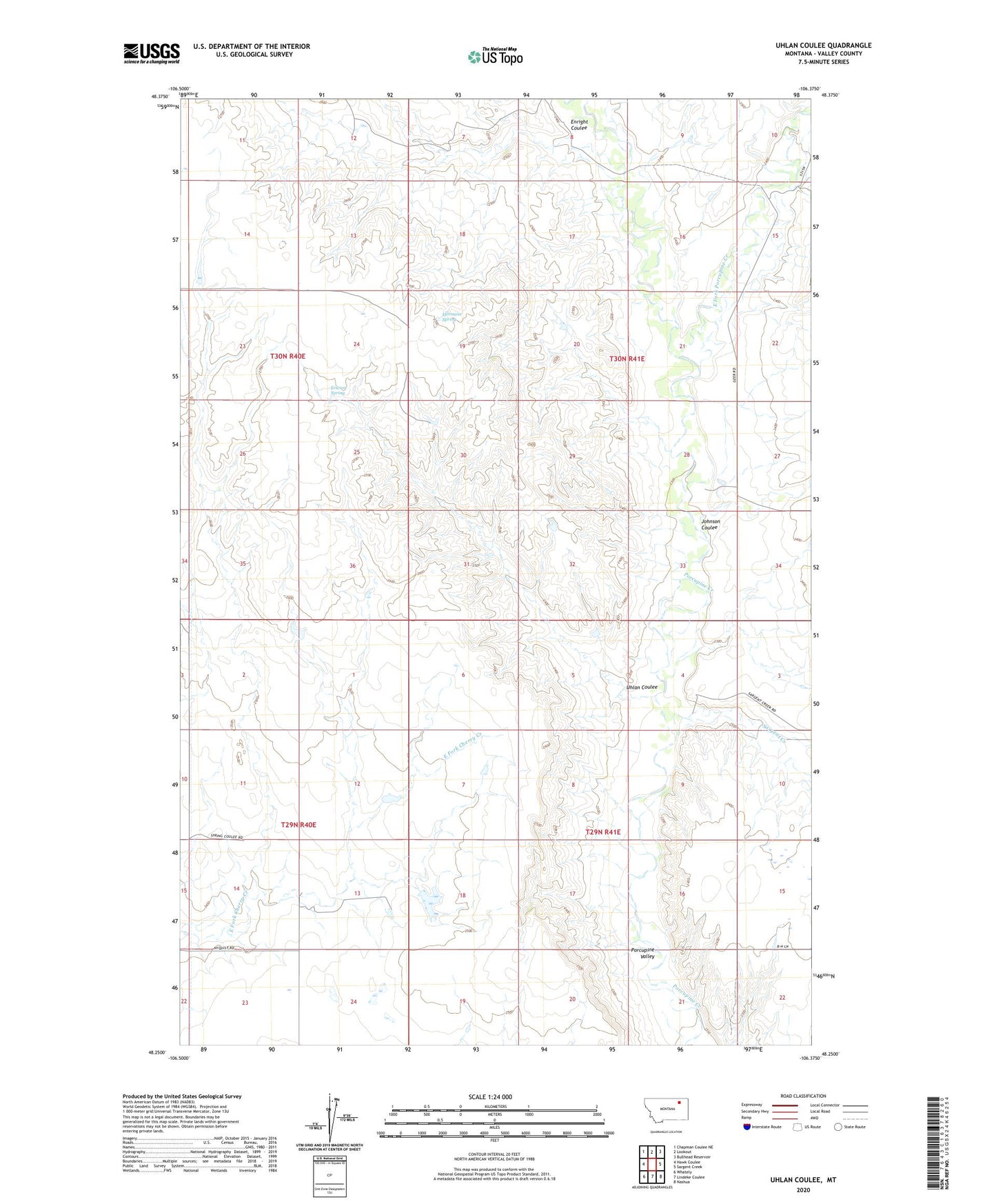
2024 topographic map quadrangle Uhlan Coulee in the state of Montana. Scale: 1:24000. Based on the newly updated USGS 7.5' US Topo map series, this map is in the following counties: Valley. The map contains contour data, water features, and other items you are used to seeing on USGS maps, but also has updated roads and other features. This is the next generation of topographic maps. Printed on high-quality waterproof paper with UV fade-resistant inks.
Quads adjacent to this one:
West: Hawk Coulee
Northwest: Chapman Coulee NE
North: Lookout
Northeast: Bullhead Reservoir
East: Sargent Creek
Southeast: Nashua
South: Lindeke Coulee
Southwest: Whately
This map covers the same area as the classic USGS quad with code o48106c4.
Contains the following named places: East Fork Porcupine Creek, Enright Coulee, Ericson Spring, Hermans Spring, Johnson Coulee, Kaiver, Kaiver School, Nyquist Number 2 Dam, Porcupine School, Porcupine Valley, Sargent Creek, Uhlan Coulee