MyTopo
Hopley Creek South Montana US Topo Map
Couldn't load pickup availability
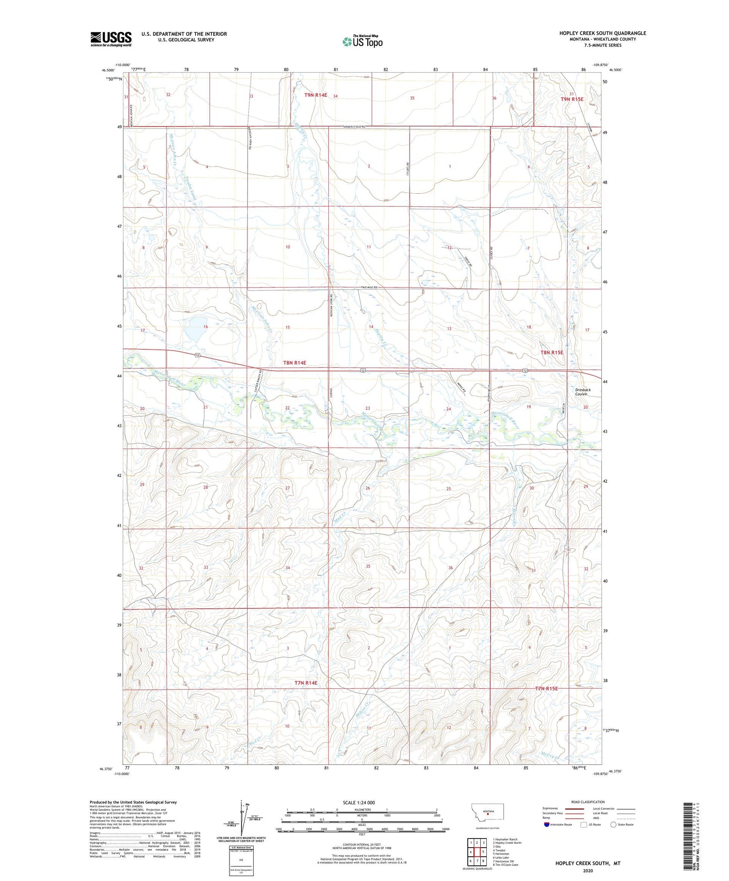
2020 topographic map quadrangle Hopley Creek South in the state of Montana. Scale: 1:24000. Based on the newly updated USGS 7.5' US Topo map series, this map is in the following counties: Wheatland. The map contains contour data, water features, and other items you are used to seeing on USGS maps, but also has updated roads and other features. This is the next generation of topographic maps. Printed on high-quality waterproof paper with UV fade-resistant inks.
Quads adjacent to this one:
West: Twodot
Northwest: Haymaker Ranch
North: Hopley Creek North
Northeast: Oka
East: Harlowton
South: Harlowton SW
Southwest: Lebo Lake
Contains the following named places: 08N14E02DDBA01 Well, 08N14E10B___01 Well, 08N14E11C___01 Well, 08N14E13____01 Well, 08N14E23A___01 Well, 08N14E23C___01 Well, 08N15E18C___01 Well, 59036, Crazy Mountains Historical Marker, Dresback Coulee, Harlowton Junction, Hopley Creek, Mexican John Creek, Milton Creek, Mud Creek, Valencia Siding, Wheat Crop Dam