MyTopo
Oka Montana US Topo Map
Couldn't load pickup availability
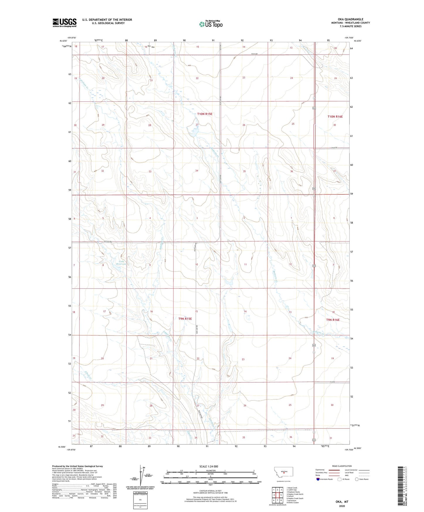
2024 topographic map quadrangle Oka in the state of Montana. Scale: 1:24000. Based on the newly updated USGS 7.5' US Topo map series, this map is in the following counties: Wheatland. The map contains contour data, water features, and other items you are used to seeing on USGS maps, but also has updated roads and other features. This is the next generation of topographic maps. Printed on high-quality waterproof paper with UV fade-resistant inks.
Quads adjacent to this one:
West: Hopley Creek North
Northwest: Mead Creek
North: Judith Gap
Northeast: Elephant Rocks
East: Oxford
Southeast: Ethels Coulee
South: Harlowton
Southwest: Hopley Creek South
This map covers the same area as the classic USGS quad with code o46109e7.
Contains the following named places: 09N15E22____01 Well, Grazing Antelope Dam, Lode Reservoir, Oka, Oka Post Office, Oka School, Wright