MyTopo
Huntley Montana US Topo Map
Couldn't load pickup availability
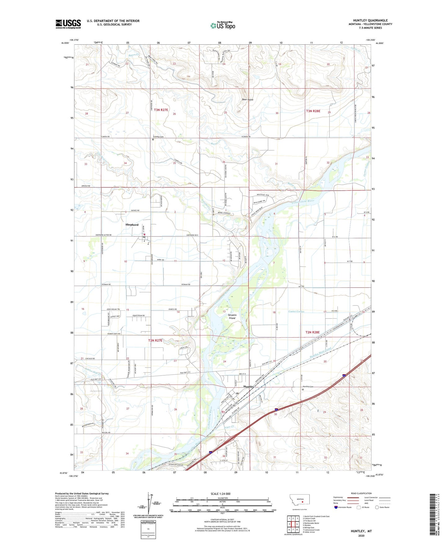
2024 topographic map quadrangle Huntley in the state of Montana. Scale: 1:24000. Based on the newly updated USGS 7.5' US Topo map series, this map is in the following counties: Yellowstone. The map contains contour data, water features, and other items you are used to seeing on USGS maps, but also has updated roads and other features. This is the next generation of topographic maps. Printed on high-quality waterproof paper with UV fade-resistant inks.
Quads adjacent to this one:
West: Rattlesnake Butte
Northwest: North Fork Crooked Creek East
North: Cotton Creek
Northeast: P K Ranch SW
East: Worden
Southeast: Indian Arrow
South: Cottonwood Creek
Southwest: Billings East
This map covers the same area as the classic USGS quad with code o45108h3.
Contains the following named places: 02N27E01AABA01 Well, 02N27E02BDDB01 Well, 02N27E09DCDD01 Well, 02N27E10BBAD01 Well, 02N27E11DBAB01 Well, 02N27E12BAAA01 Well, 02N27E13BCCC01 Well, 02N27E15DAAA01 Well, 02N27E22BBCC01 Well, 02N27E23DBBB01 Well, 02N27E24DBDC01 Well, 02N27E27ADDA01 Well, 02N27E27BCCB01 Well, 02N27E34CBBD01 Well, 02N27E35BDAB01 Well, 02N27E36ADAC01 Well, 02N28E09DDBB01 Well, 02N28E09DDCC01 Well, 02N28E16C___01 Well, 03N27E24BDAD01 Well, 03N27E27BDAD01 Well, 03N27E27DDBA01 Well, 03N27E33ACCB01 Well, 03N27E34CCDC01 Well, 03N27E35CCBC01 Well, 03N27E36CBCC01 Well, 03N28E31DADB01 Well, Crooked Creek, Deer Point, Huntley, Huntley Cemetery, Huntley Census Designated Place, Huntley Post Office, New Apostolic Church, Pryor Creek, Razor Creek, Scandia Cemetery, Scandia School, Shepherd, Shepherd Census Designated Place, Shepherd Division, Shepherd Post Office, Shepherd Volunteer Fire Department Station Headquarters, Shepherd Volunteer Fire Department Storage Facility, Spraklin Island, Twelve Mile Creek, Vermilion Ranch, Worden Volunteer Fire Department Station 2 Huntley, Yellowstone County