MyTopo
Kipp Lake Montana US Topo Map
Couldn't load pickup availability
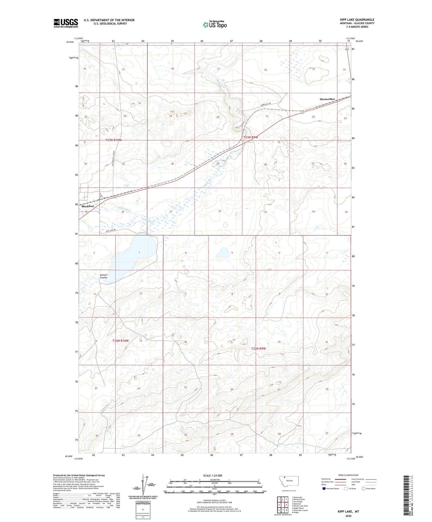
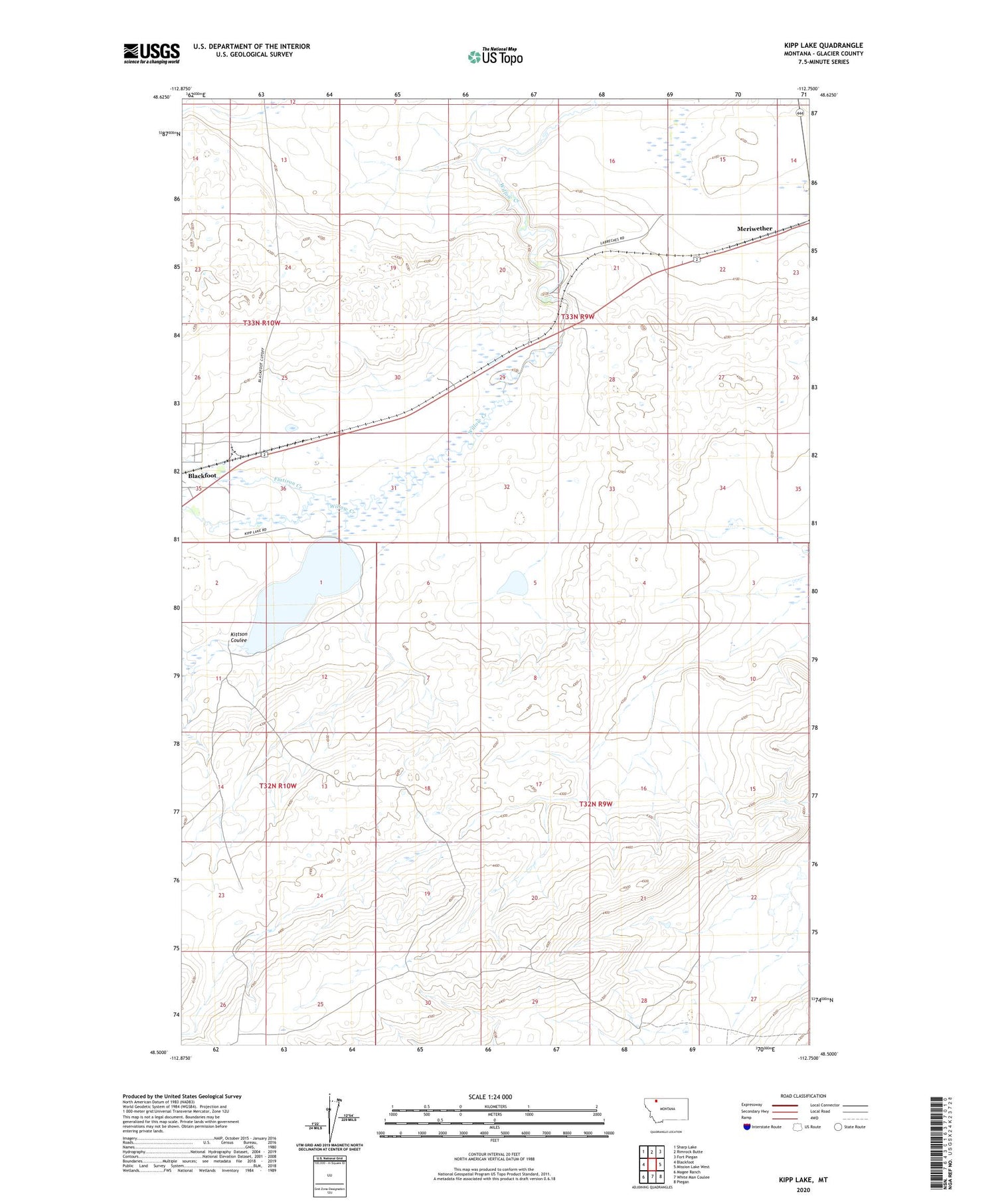
2020 topographic map quadrangle Kipp Lake in the state of Montana. Scale: 1:24000. Based on the newly updated USGS 7.5' US Topo map series, this map is in the following counties: Glacier. The map contains contour data, water features, and other items you are used to seeing on USGS maps, but also has updated roads and other features. This is the next generation of topographic maps. Printed on high-quality waterproof paper with UV fade-resistant inks.
Quads adjacent to this one:
West: Blackfoot
Northwest: Sharp Lake
North: Rimrock Butte
Northeast: Fort Piegan
East: Mission Lake West
Southeast: Piegan
South: White Man Coulee
Southwest: Magee Ranch
Contains the following named places: 33N09W22BBBB01 Well, Blackfoot Census Designated Place, Camp Disappointment, Flatiron Creek, Kipp Lake, Kipp Lake Dam, Kittson Coulee, Meriwether