MyTopo
Blackfoot Montana US Topo Map
Couldn't load pickup availability
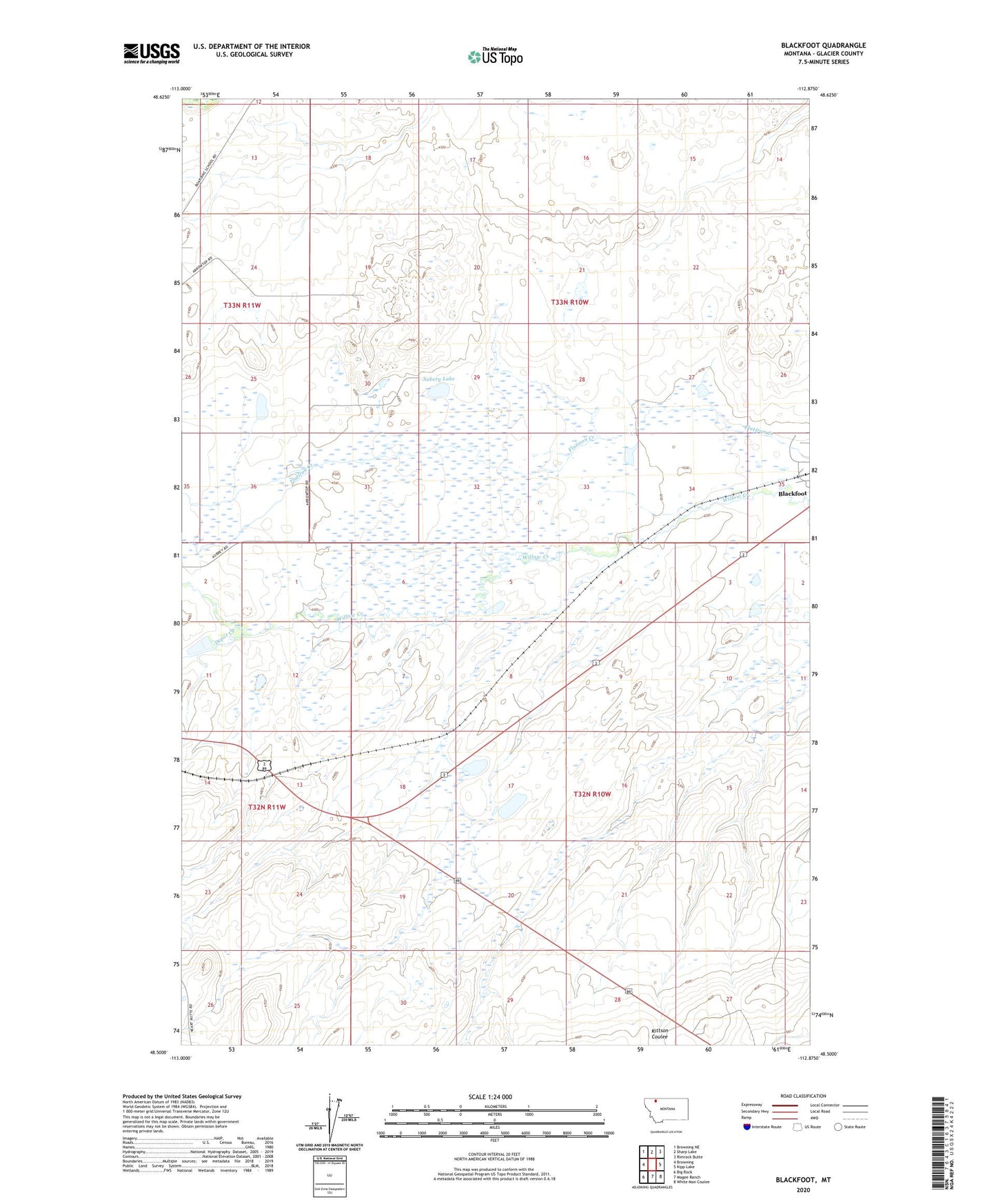
2024 topographic map quadrangle Blackfoot in the state of Montana. Scale: 1:24000. Based on the newly updated USGS 7.5' US Topo map series, this map is in the following counties: Glacier. The map contains contour data, water features, and other items you are used to seeing on USGS maps, but also has updated roads and other features. This is the next generation of topographic maps. Printed on high-quality waterproof paper with UV fade-resistant inks.
Quads adjacent to this one:
West: Browning
Northwest: Browning NE
North: Sharp Lake
Northeast: Rimrock Butte
East: Kipp Lake
Southeast: White Man Coulee
South: Magee Ranch
Southwest: Big Rock
This map covers the same area as the classic USGS quad with code o48112e8.
Contains the following named places: 33N10W35BDDA01 Well, 33N10W35CBAB01 Well, Aubery Lake, Blackfoot, Blackfoot Post Office, Blackfoot School, Camp Disappointment Historical Marker, Depot Creek, Kipp Post Office