MyTopo
Manger Park Montana US Topo Map
Couldn't load pickup availability
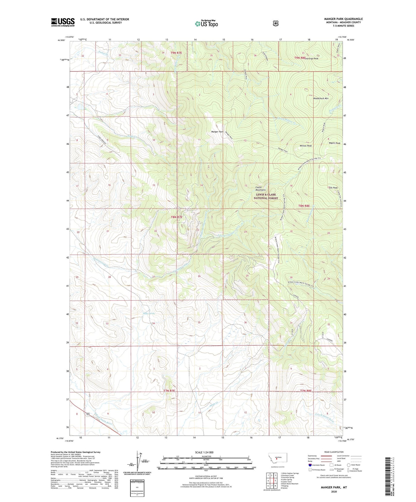
2020 topographic map quadrangle Manger Park in the state of Montana. Scale: 1:24000. Based on the newly updated USGS 7.5' US Topo map series, this map is in the following counties: Meagher. The map contains contour data, water features, and other items you are used to seeing on USGS maps, but also has updated roads and other features. This is the next generation of topographic maps. Printed on high-quality waterproof paper with UV fade-resistant inks.
Quads adjacent to this one:
West: Catlin Spring
Northwest: White Sulphur Springs
North: Pinchout Creek
Northeast: Fourmile Spring
East: Castle Town
Southeast: Hamen
South: Ringling
Southwest: Black Butte Mountain
Contains the following named places: 07N07E12BD__01 Well, Beartrap Peak, East Fork Cottonwood Creek, Elk Peak, Manger Dam, Manger Park, Miller Spring, Wapiti Peak, West Fork Cottonwood Creek, Willow Peak, Woodchuck Mountain