MyTopo
McBridy Spring Montana US Topo Map
Couldn't load pickup availability
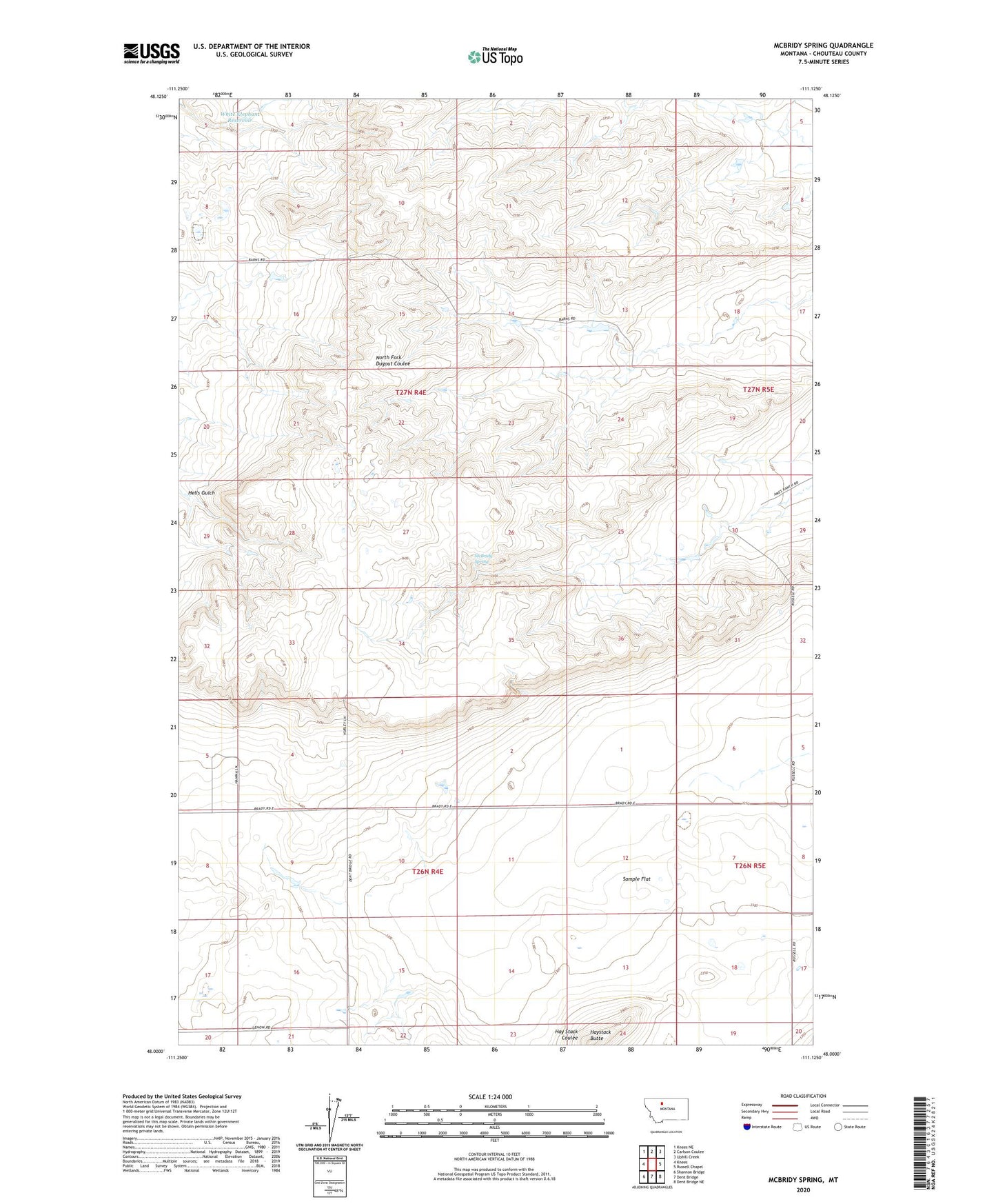
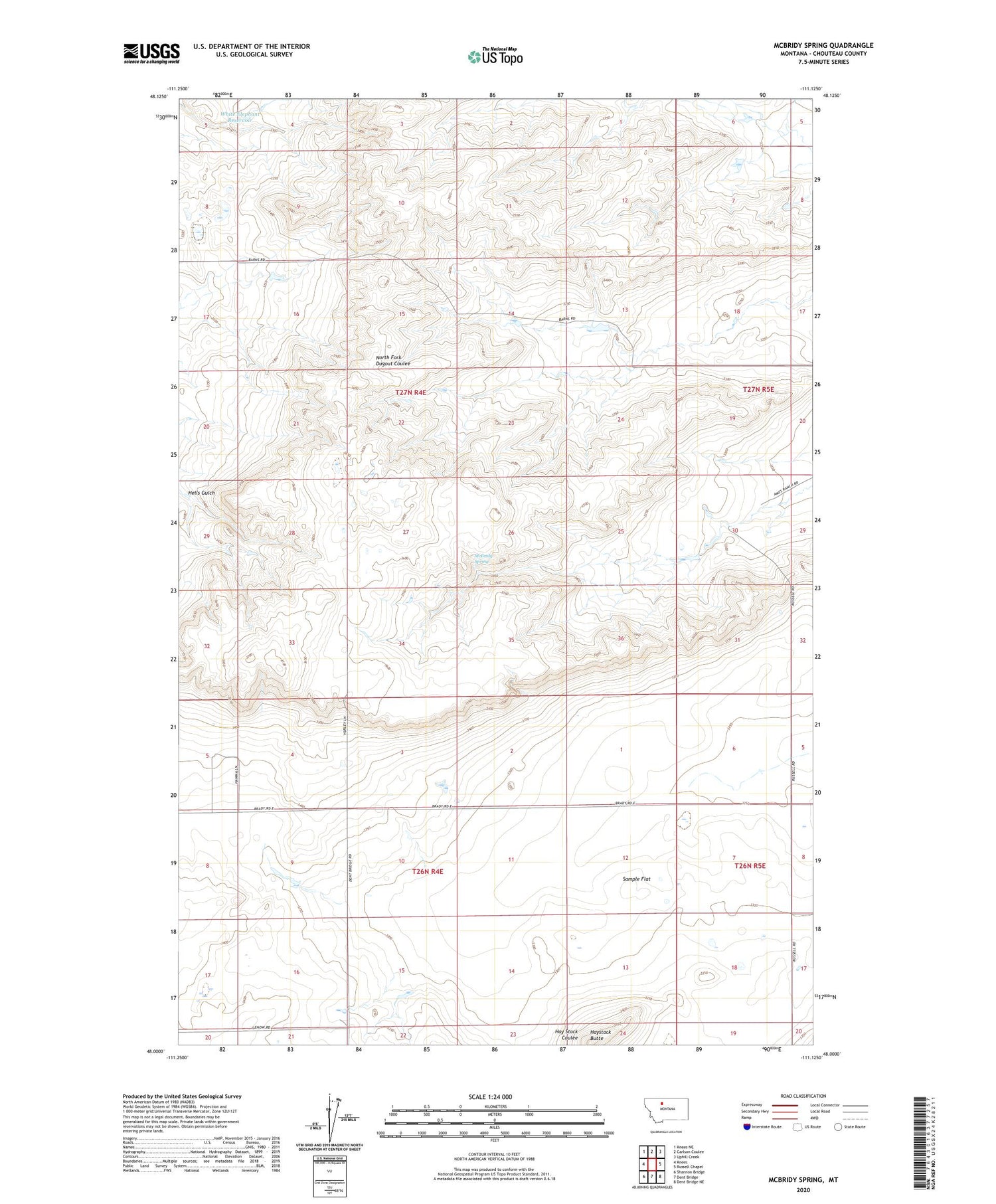
2020 topographic map quadrangle McBridy Spring in the state of Montana. Scale: 1:24000. Based on the newly updated USGS 7.5' US Topo map series, this map is in the following counties: Chouteau. The map contains contour data, water features, and other items you are used to seeing on USGS maps, but also has updated roads and other features. This is the next generation of topographic maps. Printed on high-quality waterproof paper with UV fade-resistant inks.
Quads adjacent to this one:
West: Knees
Northwest: Knees NE
North: Carlson Coulee
Northeast: Uphill Creek
East: Russell Chapel
Southeast: Dent Bridge NE
South: Dent Bridge
Southwest: Shannon Bridge
Contains the following named places: 26N04E03DBAC01 Well, Hay Stack Coulee, Haystack Butte, Hells Gulch, McBridy Spring, Sample Flat, Three Pronged Fork Dam, White Elephant Reservoir