MyTopo
Russell Chapel Montana US Topo Map
Couldn't load pickup availability
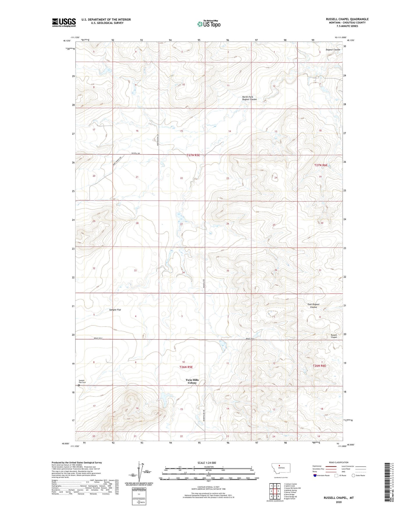
2024 topographic map quadrangle Russell Chapel in the state of Montana. Scale: 1:24000. Based on the newly updated USGS 7.5' US Topo map series, this map is in the following counties: Chouteau. The map contains contour data, water features, and other items you are used to seeing on USGS maps, but also has updated roads and other features. This is the next generation of topographic maps. Printed on high-quality waterproof paper with UV fade-resistant inks.
Quads adjacent to this one:
West: McBridy Spring
Northwest: Carlson Coulee
North: Uphill Creek
Northeast: Goose Bill Butte NW
East: Dorner School
Southeast: Apple School
South: Dent Bridge NE
Southwest: Dent Bridge
This map covers the same area as the classic USGS quad with code o48111a1.
Contains the following named places: Bar Z F Ranch, Dog Star Dam, Dolabriform Dam, North Fork Dugout Coulee, Ray Dam, Russell, Russell Chapel, Russell Post Office, Russell School, Sample Flat Cemetery, Sample Flat Church, Samples Flat School, Smart Mans Dam, Stewart Dam, Stewart Ranch, Twin Hills Colony, Twin Hills Colony Census Designated Place, Witt Ranch