MyTopo
Moonlight Creek Montana US Topo Map
Couldn't load pickup availability
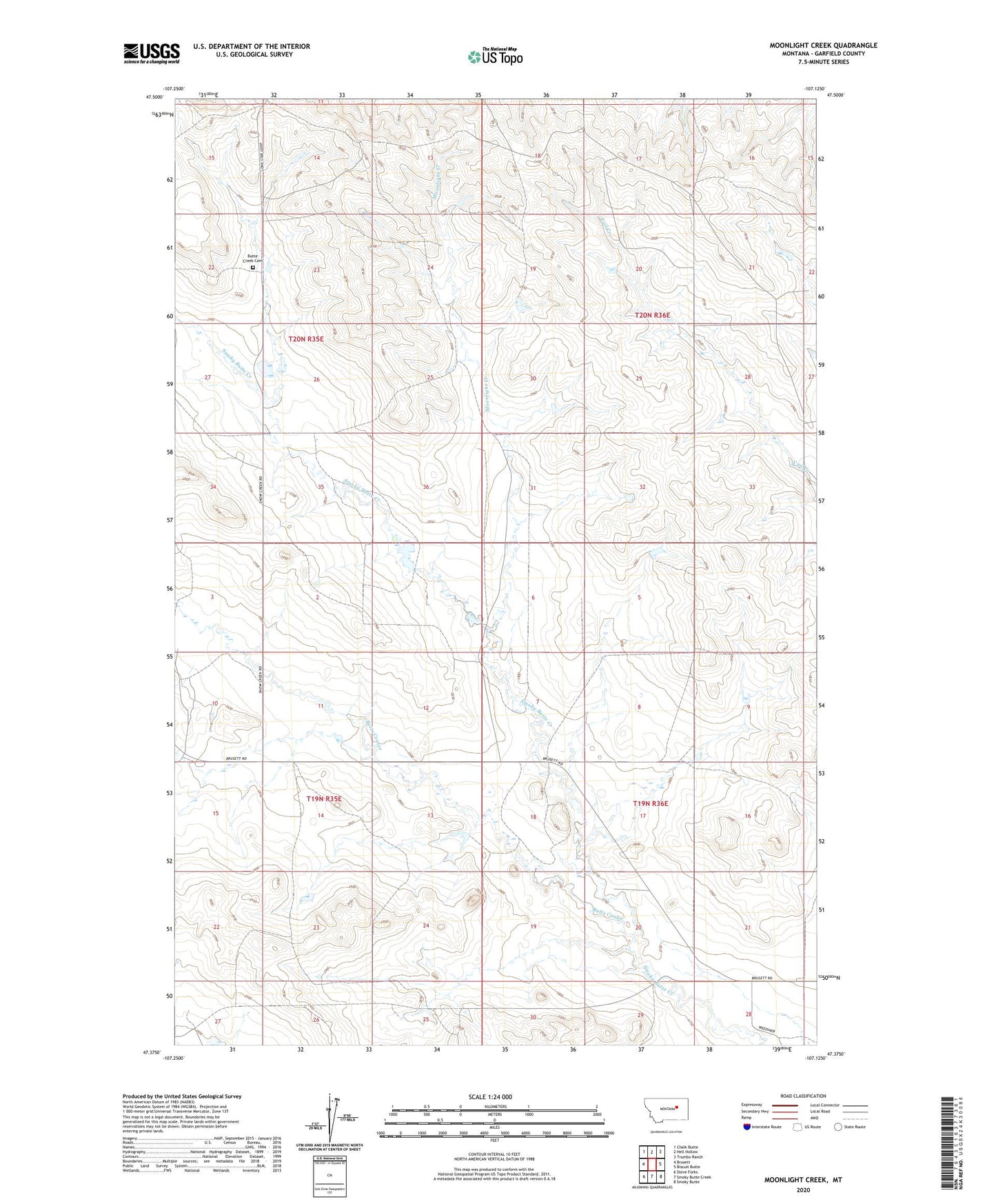
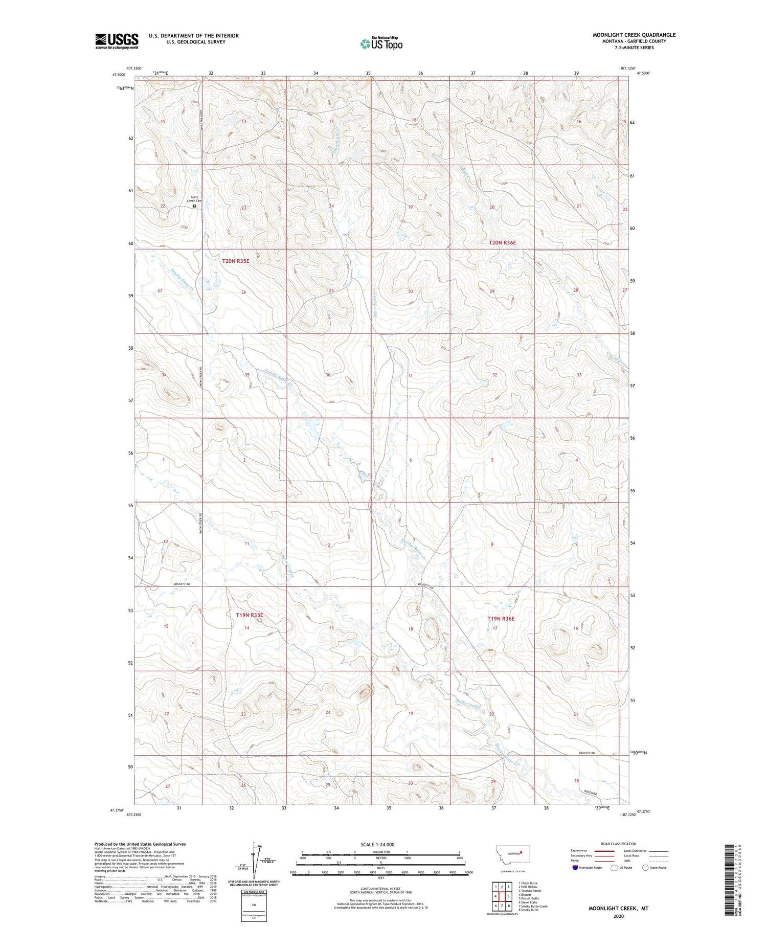
2020 topographic map quadrangle Moonlight Creek in the state of Montana. Scale: 1:24000. Based on the newly updated USGS 7.5' US Topo map series, this map is in the following counties: Garfield. The map contains contour data, water features, and other items you are used to seeing on USGS maps, but also has updated roads and other features. This is the next generation of topographic maps. Printed on high-quality waterproof paper with UV fade-resistant inks.
Quads adjacent to this one:
West: Brusett
Northwest: Chalk Butte
North: Hell Hollow
Northeast: Trumbo Ranch
East: Biscuit Butte
Southeast: Smoky Butte
South: Smoky Butte Creek
Southwest: Steve Forks
Contains the following named places: Butte Creek Cemetery, Butts Coulee, J Larson Number 2 Dam, Larson Dam, Moonlight Creek, Weeding Number 2 Dam