MyTopo
Mother Butte Montana US Topo Map
Couldn't load pickup availability
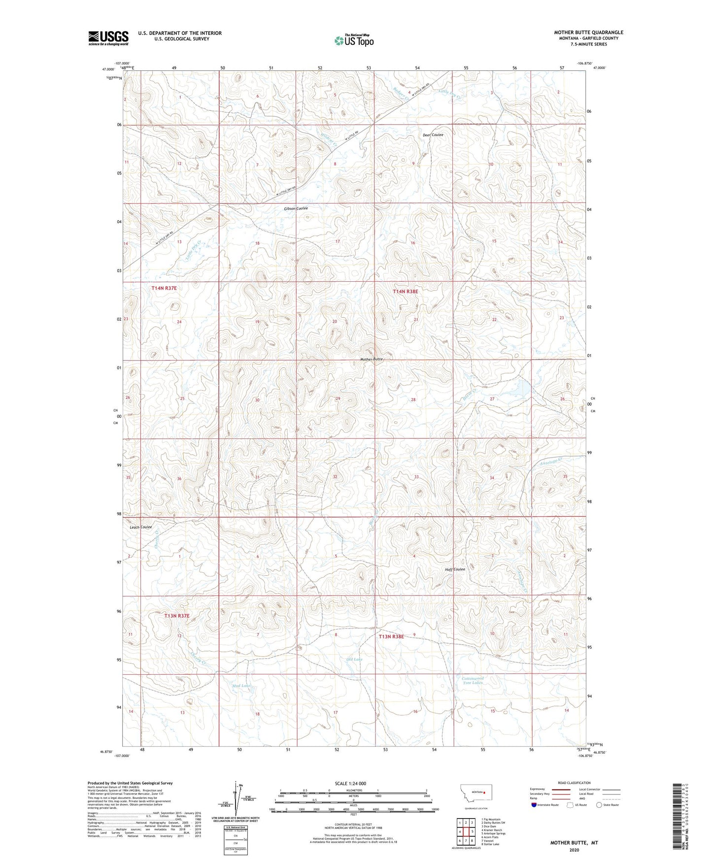
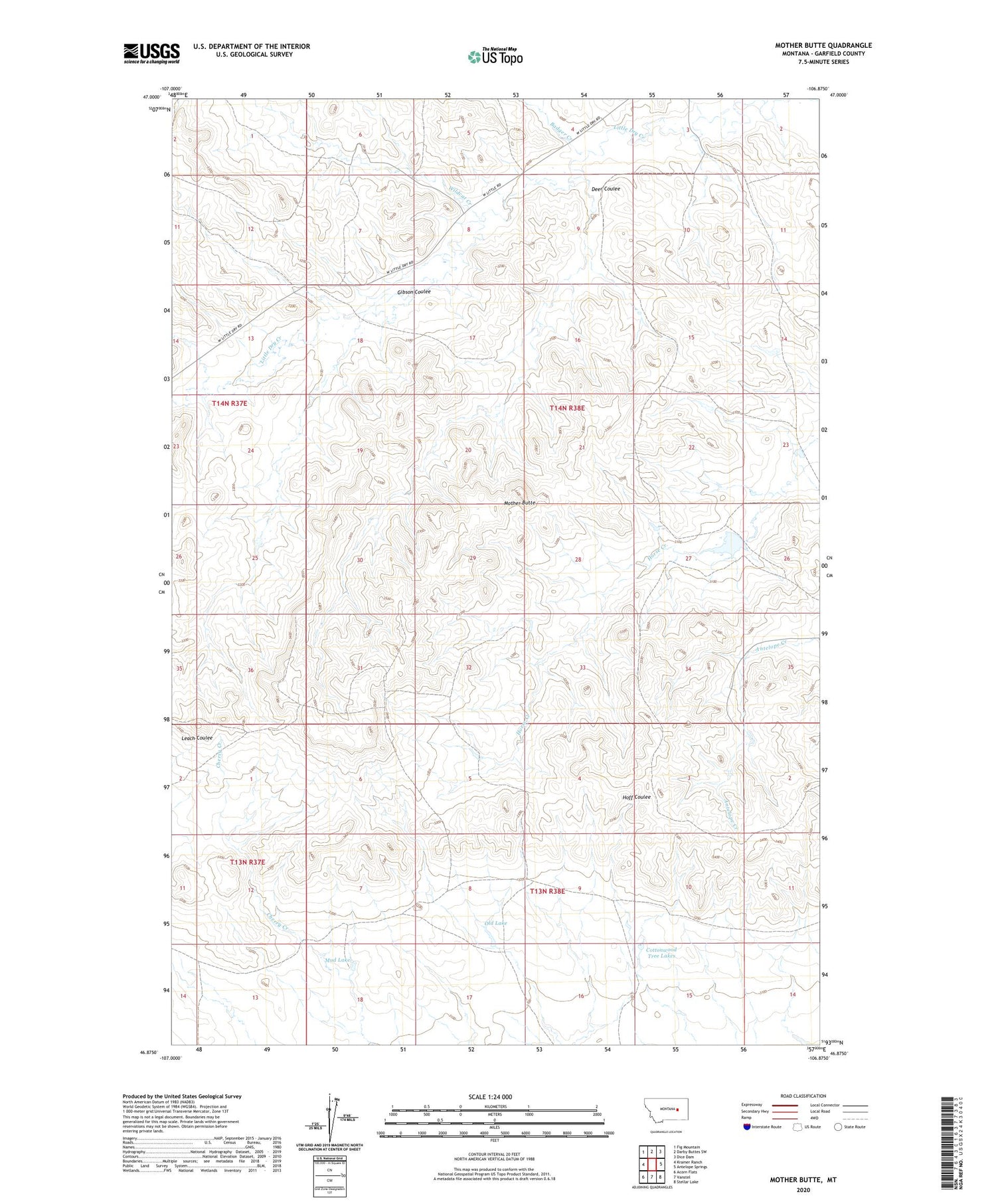
2020 topographic map quadrangle Mother Butte in the state of Montana. Scale: 1:24000. Based on the newly updated USGS 7.5' US Topo map series, this map is in the following counties: Garfield. The map contains contour data, water features, and other items you are used to seeing on USGS maps, but also has updated roads and other features. This is the next generation of topographic maps. Printed on high-quality waterproof paper with UV fade-resistant inks.
Quads adjacent to this one:
West: Kramer Ranch
Northwest: Fig Mountain
North: Darby Buttes SW
Northeast: Dice Dam
East: Antelope Springs
Southeast: Stellar Lake
South: Vanstel
Southwest: Acorn Flats
Contains the following named places: Badger Creek, Brooks Number 1 Dam, Cottonwood Tree Lakes, Deer Coulee, Gibson Coulee, Grisdella, Grisdella Post Office, Mother Butte, Mud Lake, Old Lake, Wildcat Creek, Wolf Creek